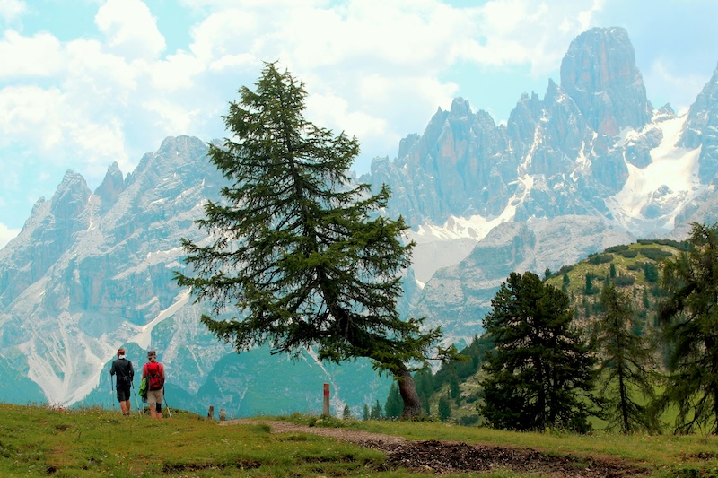
Imagine waking in a mountain hut at 2000m altitude, lacing up your boots and walking all day through the Dolomites, with another hut, a hot dinner and a bunk waiting at the end of it. That is the Alta Via 1.
The Italian Dolomites are a spectacular part of the south-eastern Alps, composed of dolomite rock (similar to limestone) and featuring distinctive hues along the way. Traversing them is a popular pursuit among both hardened and inexperienced climbers and hikers, with many trails and routes through the mountains.
One of the most popular is the Alta Via 1, a 120km high-level footpath that takes you through some of the range’s most memorable parts, passing through the region’s most stunning and historic scenery.
Hikers usually complete the trek, which reaches 2752m at its highest point, across nine days, moving from hut to hut across the mountain range. You can take shorter, truncated routes, but for the full experience, nine days is probably your best option. There is also an option to reduce the number of days by running the route.
The trail journeys from north to south through the Dolomites and stays at medium to high altitude the whole way, so you may want to train and prepare before you set out. This guide covers many aspects of this journey, including the different stages, the itinerary, and the associated costs.
What Is Alta Via 1?
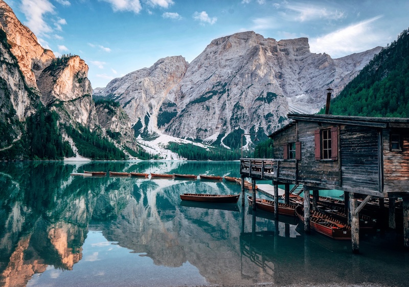
Alta Via 1 is a trail that features nine stages, beginning at the beautiful lake of Lago di Braies in the northern part of the range and making its way south through a stunning assortment of mountainous landscapes such as the Fanes group, the Lagazuoi, the Tofane, Pelmo, Civetta, Moiazza and the Dolomiti Bellunesi before finishing near the scenic town of Belluno.
Hikers make their way from hut to hut (or rifugi), staying overnight in these charming and rustic accommodations. Booking is required for the huts, as the route can get busy at peak time, and most mountain huts are booked out months in advance for the summer hiking season.
Europeans can often decide in spring and still find a bed. Anyone flying in from further afield is usually locking in dates the previous autumn, before flights and leave are settled.
How Difficult Is the Alta Via 1?
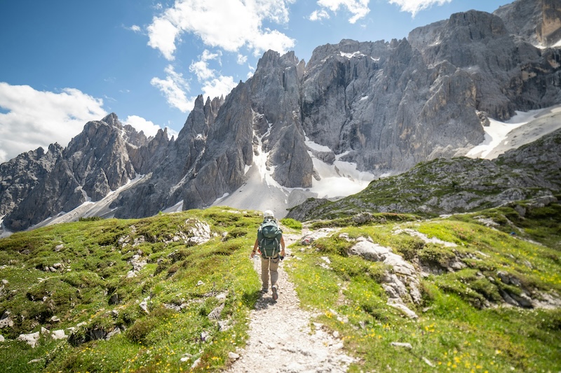
The AV1 rates EE in the Italian grading system, meaning strenuous mountain walking rather than anything technical, though a few narrow sections cross ground with steep drops on either side. In reality, this means regular ascents and descents, with some rougher ground at higher altitudes.
It’s not for absolute beginners, but with proper training and prep work beforehand, most trekkers can handle it.
There are points at which trekkers can opt for more challenging detours, for example, the wartime Lagazuoi tunnels in Stage 4, and the Pelmo circuit from Rifugio Città di Fiume, both more suitable for experienced walkers but worth the detour if you feel confident enough. Otherwise, stick to the beaten path, and, in good weather, you should be comfortable along the route.
If you’re comparing the Alta Via 1 with Scotland’s Cape Wrath Trail or Skye Trail, they are quite different experiences, even though all are multi-day mountain walks. The AV1 asks more of you in sustained ascent and altitude, though the Cape Wrath Trail is longer and more remote.
The AV1 has one advantage over both: You finish each day at a hut rather than a tent or a bothy.
Weather is a key factor on the AV1, so it’s best to stick to summer months (late June to late September). That is peak season in the Northern Hemisphere, so the long evenings at home are ideal for getting training miles into your legs beforehand.
Check local forecasts at each point before you set out, as some paths become treacherous in heavy rain, and mist can adversely affect navigation and general safety. The best people to ask are the hut workers, who know the route well and have up-to-date information on weather conditions.
Alta Via 1 Stage by Stage
Here’s a breakdown of what to expect on each stage of your trek if you’re taking the nine-stage option, accompanied by recommended rifugi.
Stage 1 – Lago di Braies to Rifugio Biella
The iconic turquoise-blue of Lago di Braies is the traditional starting point of Alta Via 1, and the beautiful lake makes for a stunning backdrop as you begin your ascent. Once you’ve climbed the steep path (one of the stiffest you’ll face on the whole journey), you’ll be treated to glorious views of the lake and the rocky surrounding mountains.
This is the shortest stage on the route, finishing up at Rifugio Biella at an elevation of 2327m. Remember, during July and August, booking is essential at all huts along the path.
Stage 2 – Rifugio Biella to Rifugio Fanes / Lavarella
Leaving Biella, the second stage drops slightly in altitude across the Sennes plateau to take in high alpine meadows and the Fanes plateau, areas of great scenic beauty.
It then climbs steadily to Rifugio Lavarella, Fanes and Muntagnoles at 2060m, but the going is mostly straightforward with wide paths (although there are some options for rockier, tougher detours).
Stage 3 – Fanes to Rifugio Lagazuoi
One of the most iconic and revered sections of the AV1, the Fanes to Rifugio Lagazuoi stage offers historic wartime scenery and some of the most dramatic mountain backdrops.
Be prepared for the last section, though, as a long, steady uphill to Rifugio Lagazuoi, which brings you to the AV1’s highest point at 2752m.
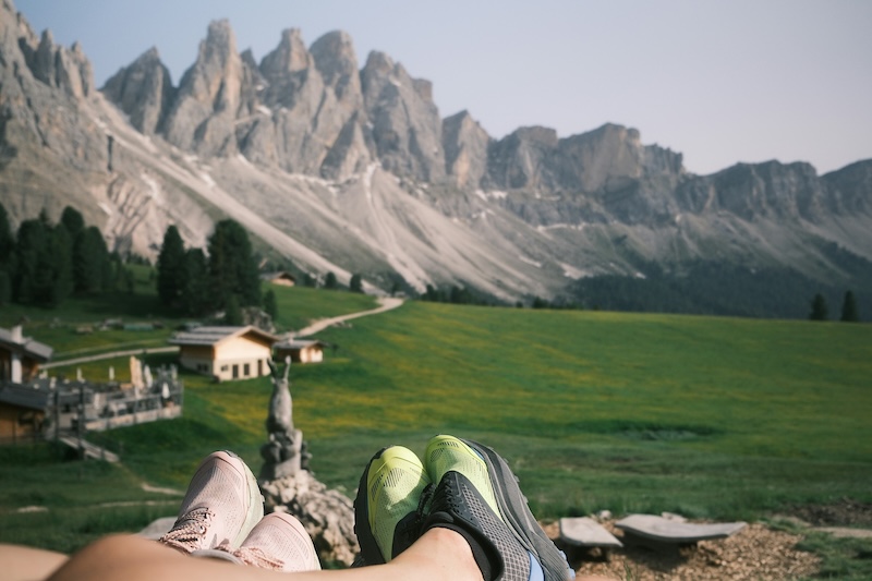
Stage 4 – Lagazuoi to Rifugio Nuvolau / Averau
Another stage steeped in beauty and history, you’ll take in Cinque Torri, or the five towers, one of the most distinctive landmarks in the Dolomites. You’ll also find spectacular views around Cortina itself, unmissable, in fact.
The morning takes you down to Pian dei Menis in the valley, and for history lovers, there is an optional excursion to the Galleria Lagazuoi, a restored World War One tunnel built for Italian troops attacking the Austrians. Be aware you’ll need a torch for this.
Once you reach the valley, you’ll climb back to the opposite hillside facing the Rifugio Nuvolau at 2575m. One of the best-sited huts en route, it perches sweetly between two cliff faces.
Stage 5 – Nuvolau to Rifugio Città di Fiume
Descending from the hut, you’ll head back towards Rif Averau, where the path up to Passo Giau gets rockier. Once you’ve made the pass, the path opens onto the hillsides behind Monte Formin. You’ll find these grassy, wide plains offer easy walking, especially welcome after the rockier days beforehand!
Once past Passo Ambrizzola, the route becomes generally downhill and runs through woodland to the pleasantly situated Rifugio Città di Fiume at 1918m.
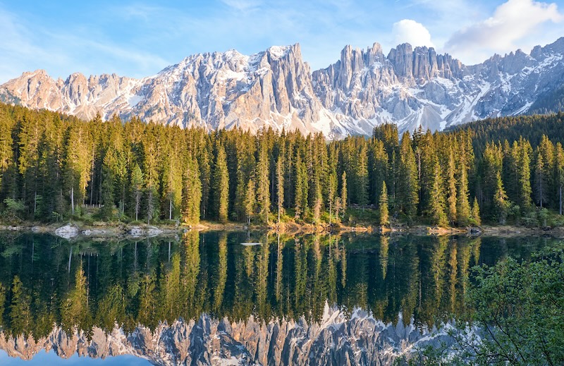
Stage 6 – Città di Fiume to Rifugio Vazzoler
Leaving the hut behind, the early going is more pleasant woodland that takes you towards Passo Staulanza. You’ll need to cross a ski resort at this point before the trail heads sharply upward again, reaching Rifugio Coldai at 2132m on the flanks of Monte Civetta.
As you continue down the trail, passing the stunning alpine lake Coldai, the valley opens up before you reach Rifugio Tissi, which sits just before Rifugio Vazzoler. Both are fine huts to spend the night in, but you’ll probably have the strength to reach the latter before bedtime.
Stage 7 – Vazzoler to Rifugio Bruto Carestiato
Today you’ll complete the route around Monte Civetta, eventually reaching Passo Duran at 1601m, with Rifugio Bruto Carestiato sitting a little above the pass at 1834m.
While the paths and terrain are well defined, the walking is pretty hard going, crossing steep, rocky, and rooty ground until you reach the Col dell’Orso. It’s well worth it though, as the views of distant hills change from west to south during the day.
Stage 8 – Bruto Carestiato to Rifugio Pian de Fontana
Prepare yourself for a tough day of hiking on stage eight. You’ll enter the final massif of the AV1, with the path taking you over more remote hills. The first section covers rough ground to Rifugio Pramperet in its high pasture, crossing large, open combes.
Then prepare for a trek almost to the summit of the Cime de Zita, reaching 2395m at a point called Forcella de Zita Sud. After that, your weary legs will be thankful for a long downhill stretch to the welcoming, almost pastoral Rifugio Pian de Fontana.
Stage 9 – Pian de Fontana to Belluno
The final stage of the AV1 is relatively short, but makes itself known with a quick uphill to Forcella la Varetta at 1701m. After that, you’ll descend through woods past Rifugio Bianchet as the track winds back towards the road.
Carry on down to La Pissa on the valley road, where buses run into Belluno, the end of the route. And, if you’ve made it all the way – congratulations!
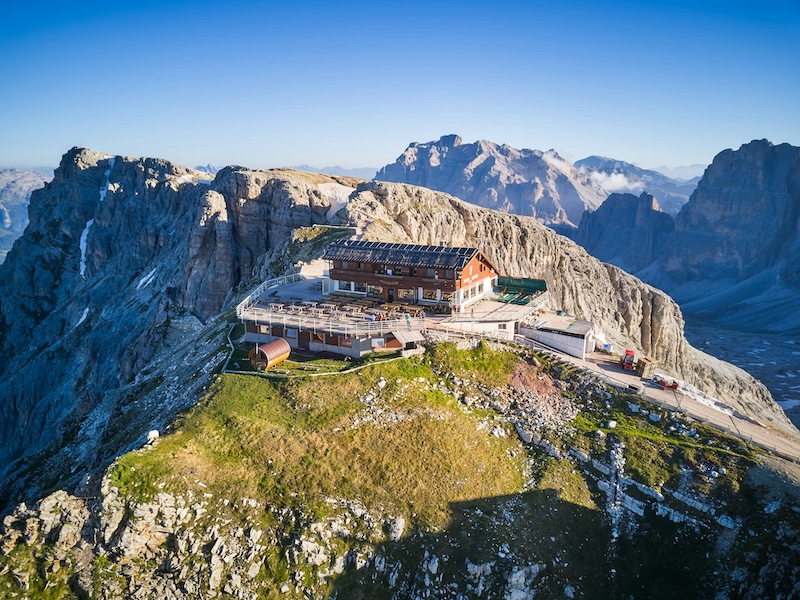
How to Book a Rifugio
If you’re planning the Alta Via 1, book the rifugi before you start, especially for July to September. Popular huts can fill up, and you generally don’t want to rely on showing up without a reservation.
Most of the huts have their own websites, or at least some social media presence with relevant telephone numbers. Some accept online bookings; others require an email, phone call, or booking form.
Keep in mind that mid-morning Italian time is when someone is most likely to pick up, which is only an hour ahead of the UK, so a call around 9 am UK time is usually your best bet. Once you’ve planned your route, you can do the required research to make sure you have a place to lay your head.
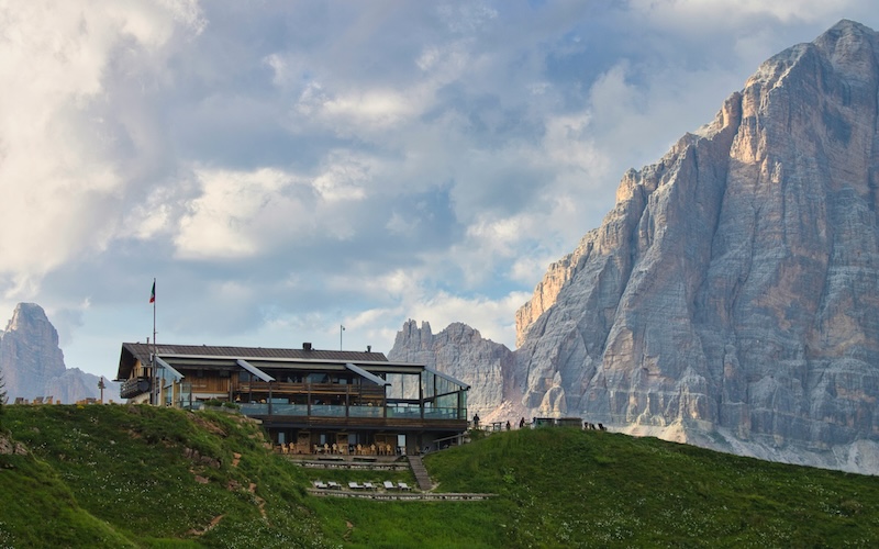
What You Actually Spend on the Trail
Most of your money on the AV1 goes on half board. A dormitory bed with dinner and breakfast runs roughly 70 to 90 euros a night at most rifugi, and you settle up the morning you leave.
Some now take cards. Plenty don’t, and the ones that do lose signal often enough that you shouldn’t plan around it.
Then come the extras nobody budgets for. A hot shower is 3 to 5 euros. Pasta at lunch is around 8 to 11 euros, depending on the hut. Drinks at dinner are never included, and valley accommodation charges tourist tax at either end. Over a nine-day trek, it adds up to several hundred euros, paid at a counter hours from the nearest machine.
Cortina has banks but the huts do not. If you are flying in from Australia, organise your foreign currency a week or so before you leave rather than hoping to sort it on a stopover, since collection takes a few days.
The hiking itself is free, which is easy to forget when you are staring at the total.
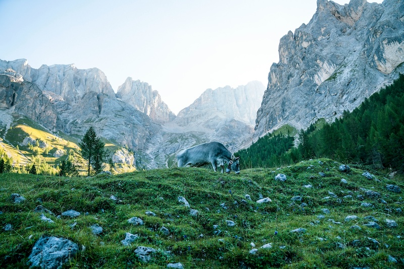
What a Night in a Rifugio Is Really Like
Once you’ve dropped your gear in the rifugio’s mudroom, expect a warm welcome. You’ll dry out or cool down, depending on your hike, and greet other travellers staying there. The huts have a strong sense of community, and you’re likely to make new friends along the way.
Half board is a common option, with breakfast and dinner usually simple, wholesome affairs. Remember the etiquette: you’ll be given a pair of house shoes or Crocs to replace your muddy boots, and keep noise to a minimum after lights out.
That said, you’ll find a symphony of snoring (and other noises) after dark, but this is to be expected. Generally, the huts are cosy and calm places for tired hikers to rest their weary heads and freshen up for the trails in the morning.
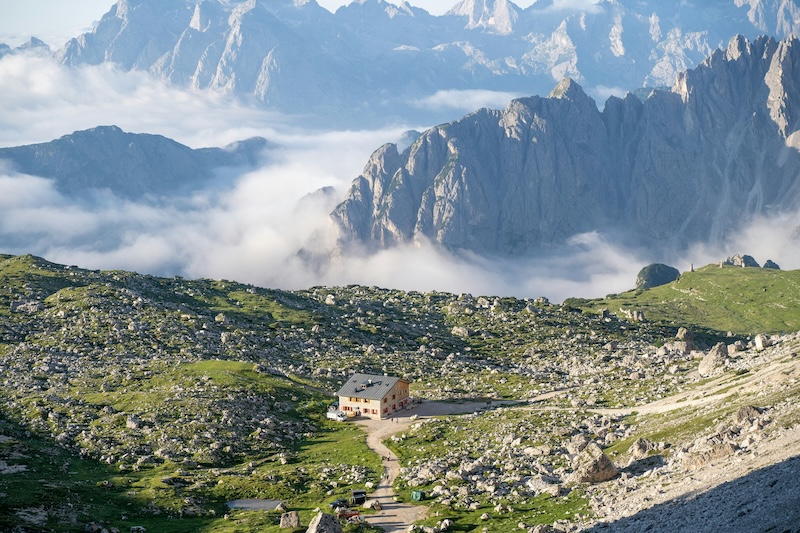
Getting to the Start
Lago di Braies is the traditional starting point of the route, and can be reached by bus or car. Venice is the main gateway, an easy direct flight from most UK airports, with Treviso and Innsbruck as alternatives. Either way, give yourself a day or two in Cortina or Toblach before the first stage.
Visitors should also be aware of the vehicle restriction rule in peak summer (dates are set each year, so check before you travel), which closes the valley road to unreserved cars between 9:00 AM and 4:00 PM. Access is open freely before 9am, after 4pm, or anytime via pre-booked parking, public buses (lines 439/442), biking, or walking.
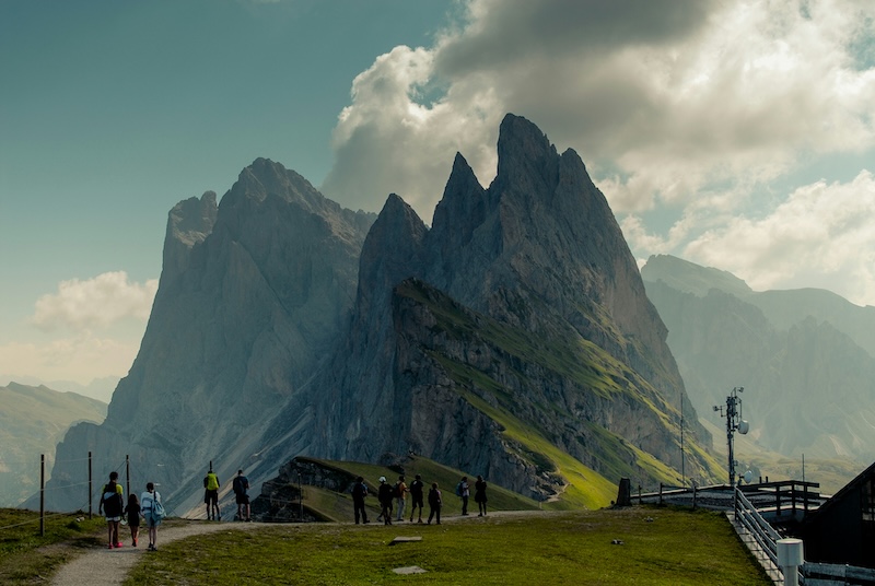
Doing It Independently Versus Booking a Self-Guided Tour
You can do the AV1 independently, but there are many self-guided tours to choose from, so it would be remiss to ignore them. Logistics and planning have been done so many times that choosing a self-guided tour might be a better option, especially if you’re an inexperienced hiker.
The Alta Via 1 is a remarkable long-distance hiking adventure, taking in unmissable views, historic artefacts, and remote mountain lakes. Planning a trip across this varied, majestic terrain is a must for trekkers who love to challenge themselves by day and relax and socialise in the unique huts by night.