The remote Corbett Beinn Bhreac had been on my bagging short-list for a while but I needed a few stars to align. First, I wanted a long summer’s day because the mountain is remote and I knew it would take the best part of a full day. I also wanted good weather with clear visibility. In addition, I was hoping to complete this longer-distance bike and hike on my own – and that meant I needed to find personal motivation, rather than making a date to go with someone else. Last week, during a spell of excellent weather, I set myself the challenge – and I am so delighted that I did. Beinn Bhreac might be a challenge to reach, but there are many rewards.
The acclaimed walking routes website, Walk Highlands, describes Beinn Bhreac as “an exceptionally remote hill in the empty wildernesses between the Cairngorms and Atholl”. It adds: “One for the real enthusiast.”
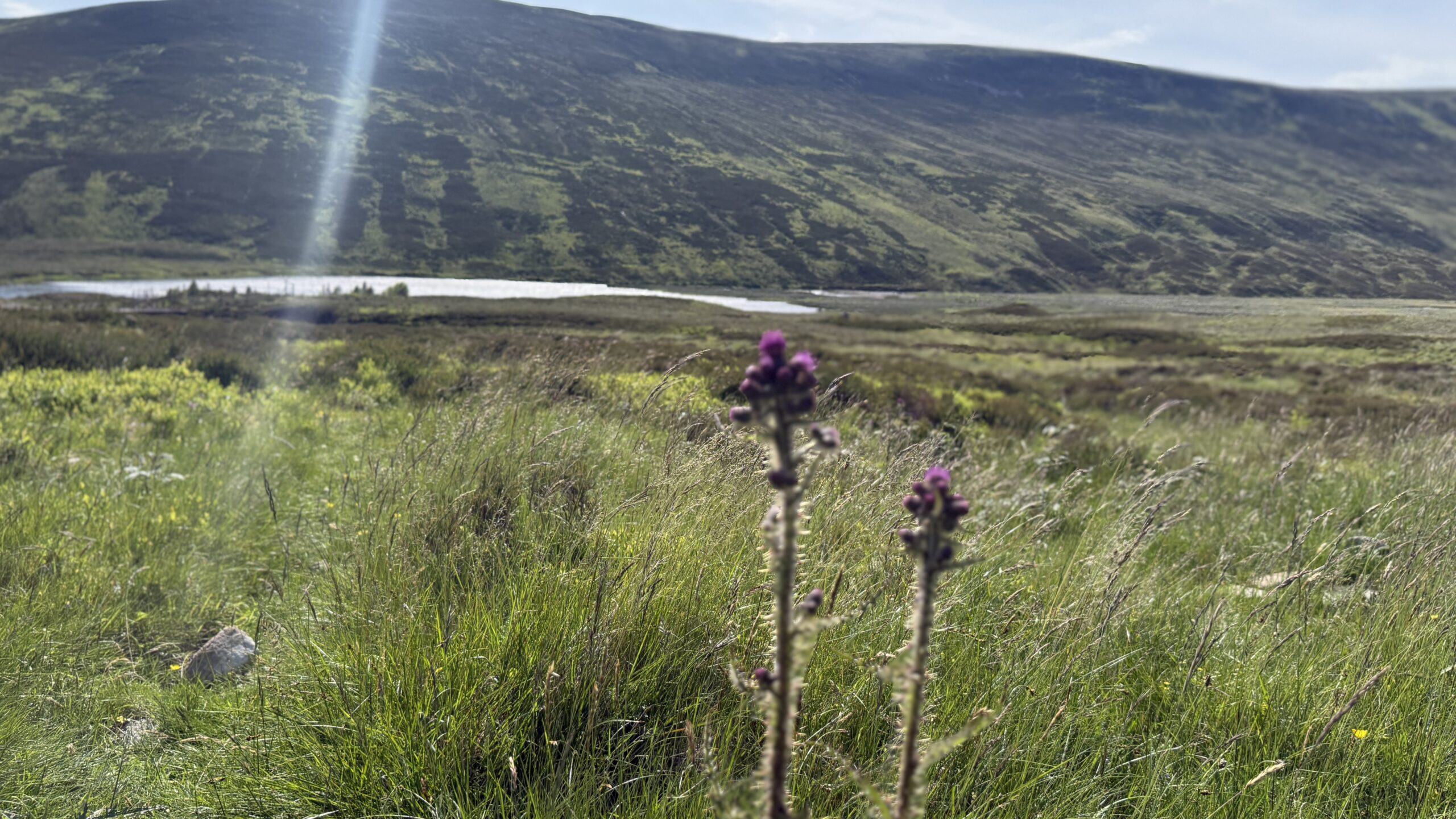
I can’t disagree with either statement but I would like to encourage people to head for this Corbett if you fancy a big day out in wild and rugged terrain that offers superb views and a very low chance of seeing another person. There is a high chance of spotting red deer, though!
I chose to start at Calvine, just off the A9, and close to the famous House of Bruar, near Blair Atholl. There is parking in a small lay-by opposite an old petrol station on the side of the B847. My planned route was via Glen Bruar.
Bike ride through Glen Bruar
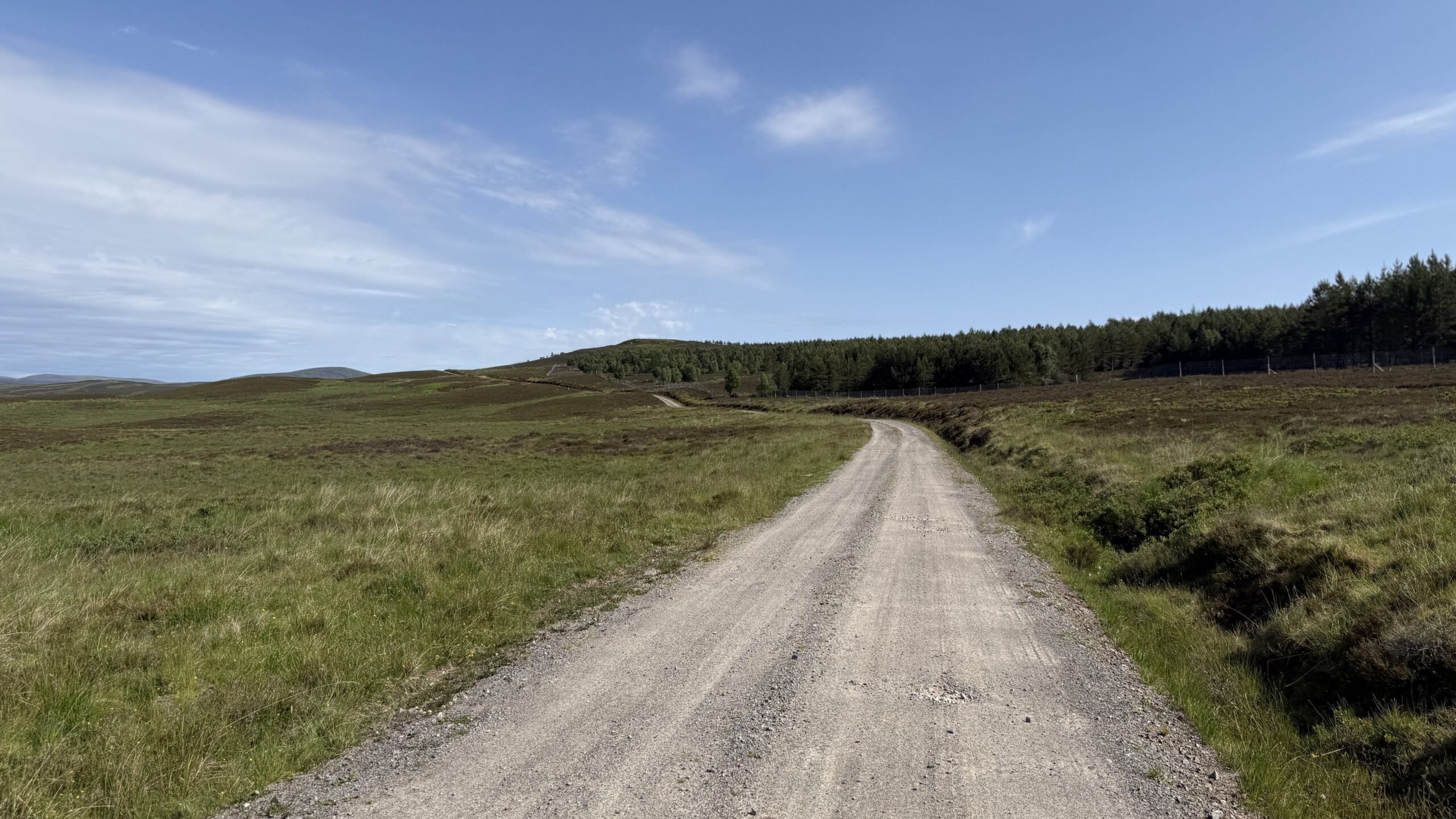
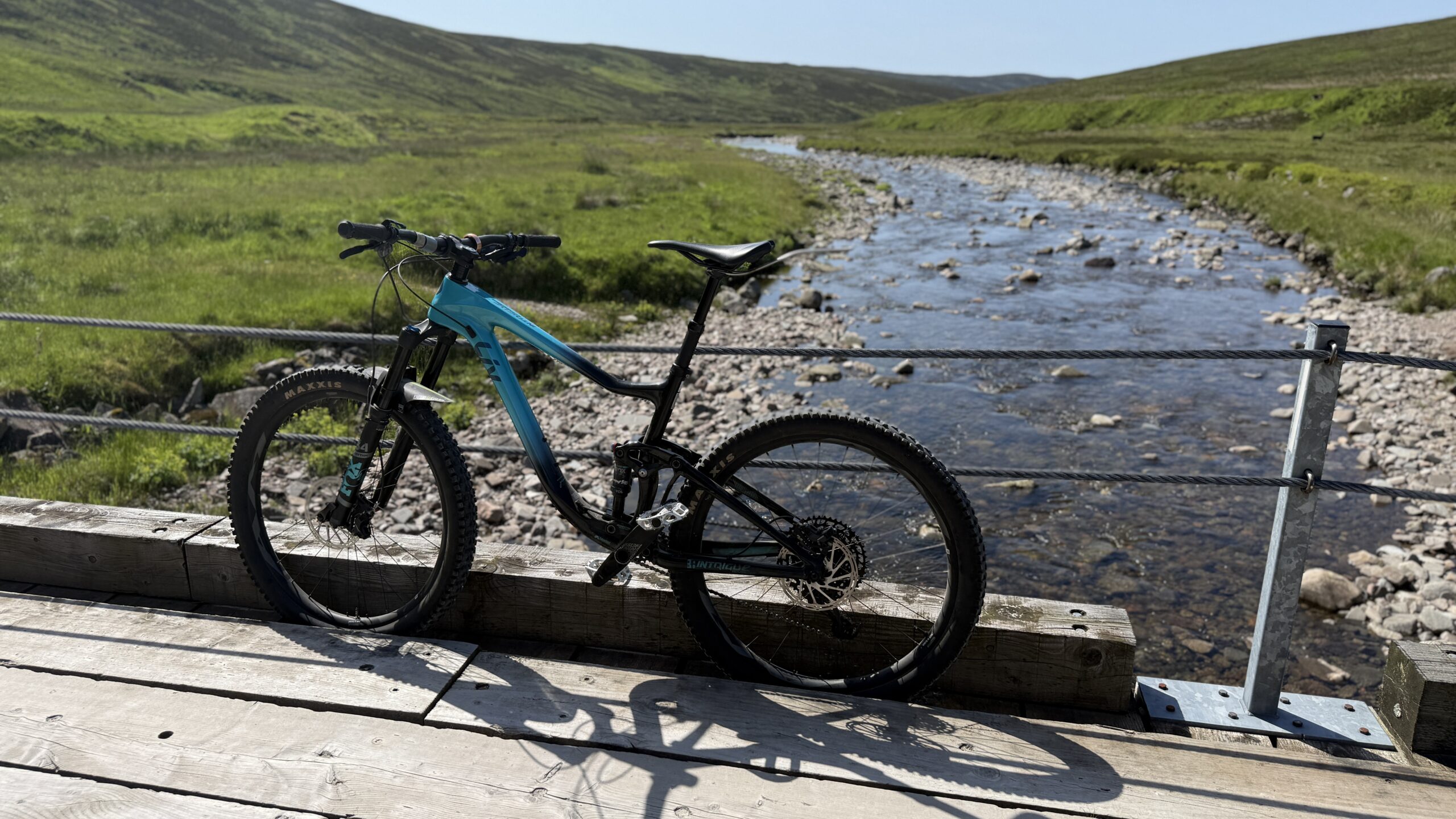
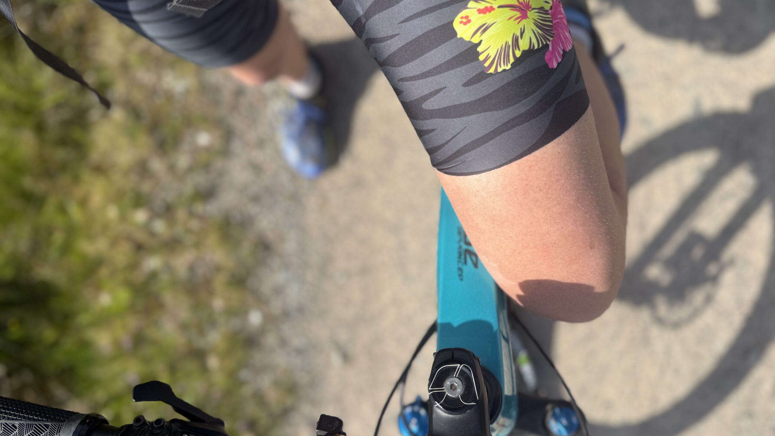
I began with a bike ride of 14km and a total ascent of 420m. The wide and undulating track is ideal for a mountain bike, or for a gravel bike if you have wider tyres. Since I am not a particularly skilled or confident off-road cyclist, I went for a mountain bike.
From the layby, I left my vehicle and cycled left along the road for a short distance and then followed a sign for the Minigaig track on the right. This takes you on a short uphill, keeping right and to reach the side of the A9. You need to cross both carriageways of the A9, which is not for the faint hearted when the traffic is busy.
The track on the other side of the road heads uphill sharply, then flattens a bit and generally undulates but in a gradually ascending fashion. That is, until about 5km along, when the track drops from 450m to 360m, before rising again. I kept in mind the drop because on the return I would need to climb back uphill on tired legs.
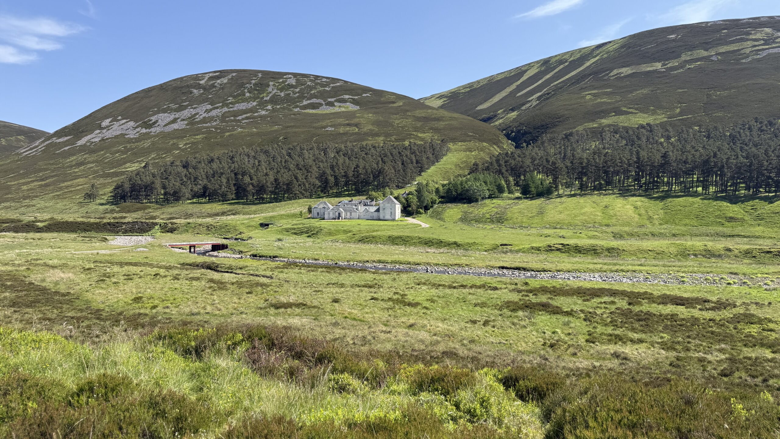
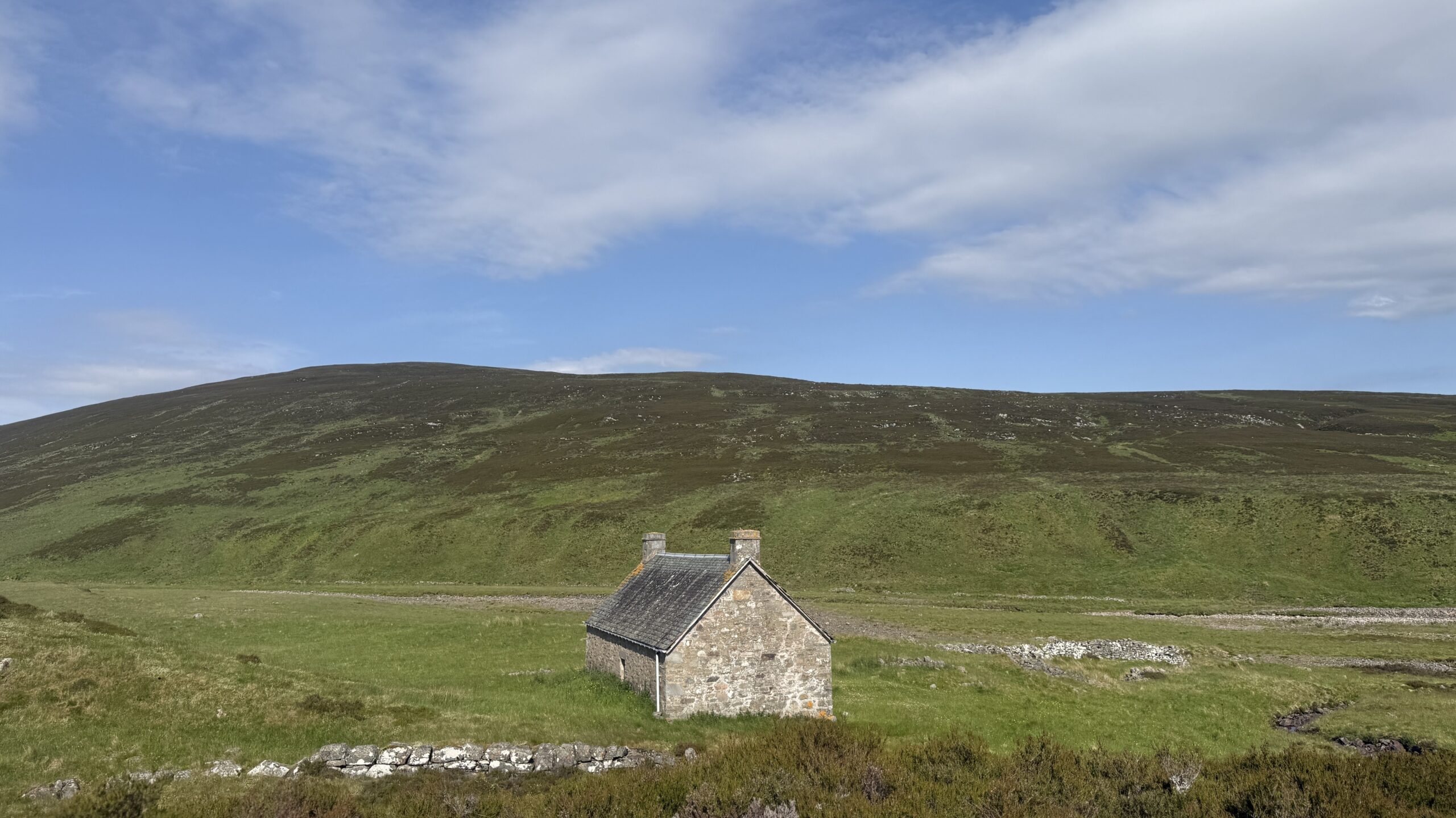
It’s an obvious track to follow but it’s worth noting that after crossing a bridge over Bruar Water in front of Bruar Lodge, you need to follow the track as it goes in front of the lodge and not to the rear.
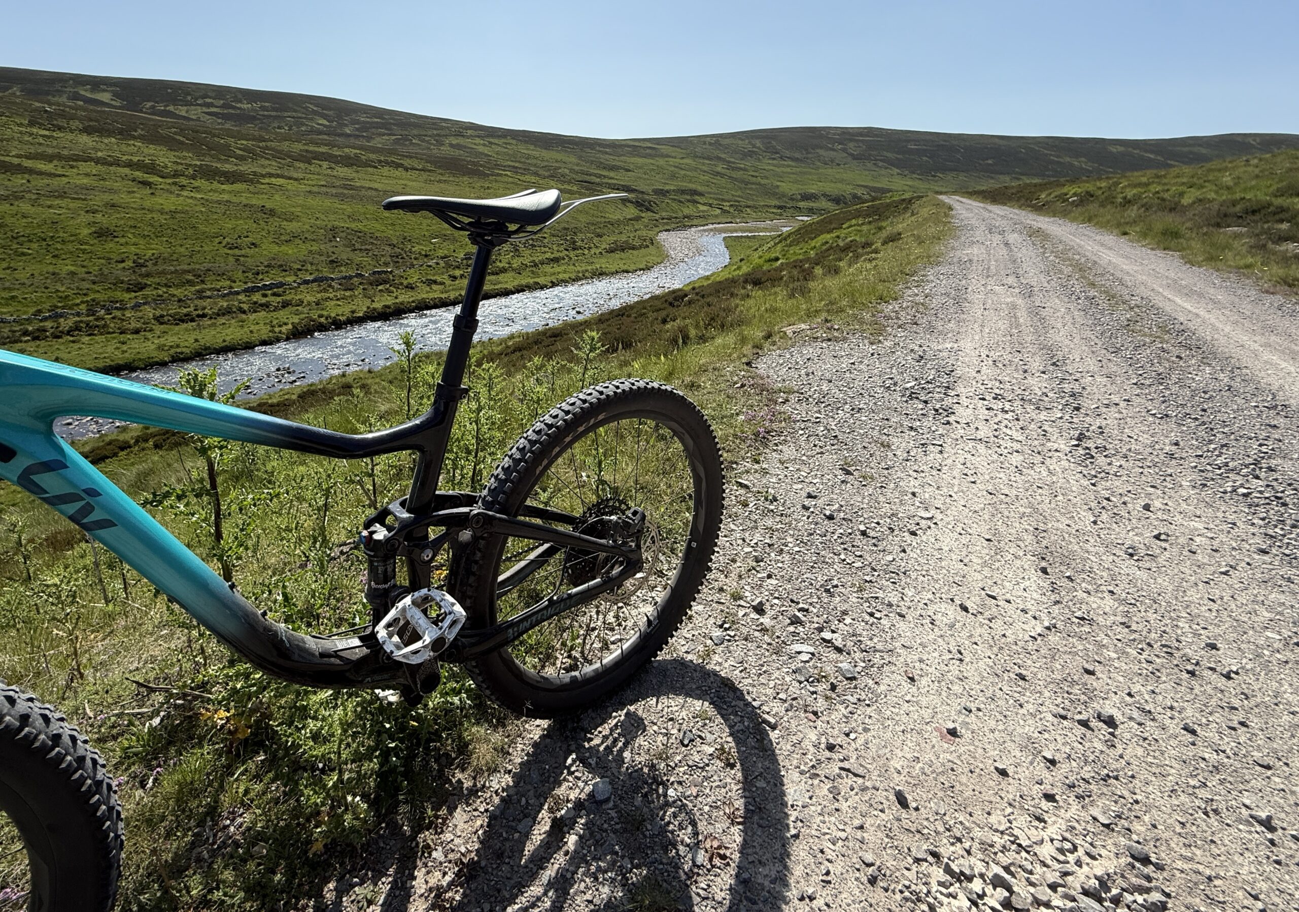
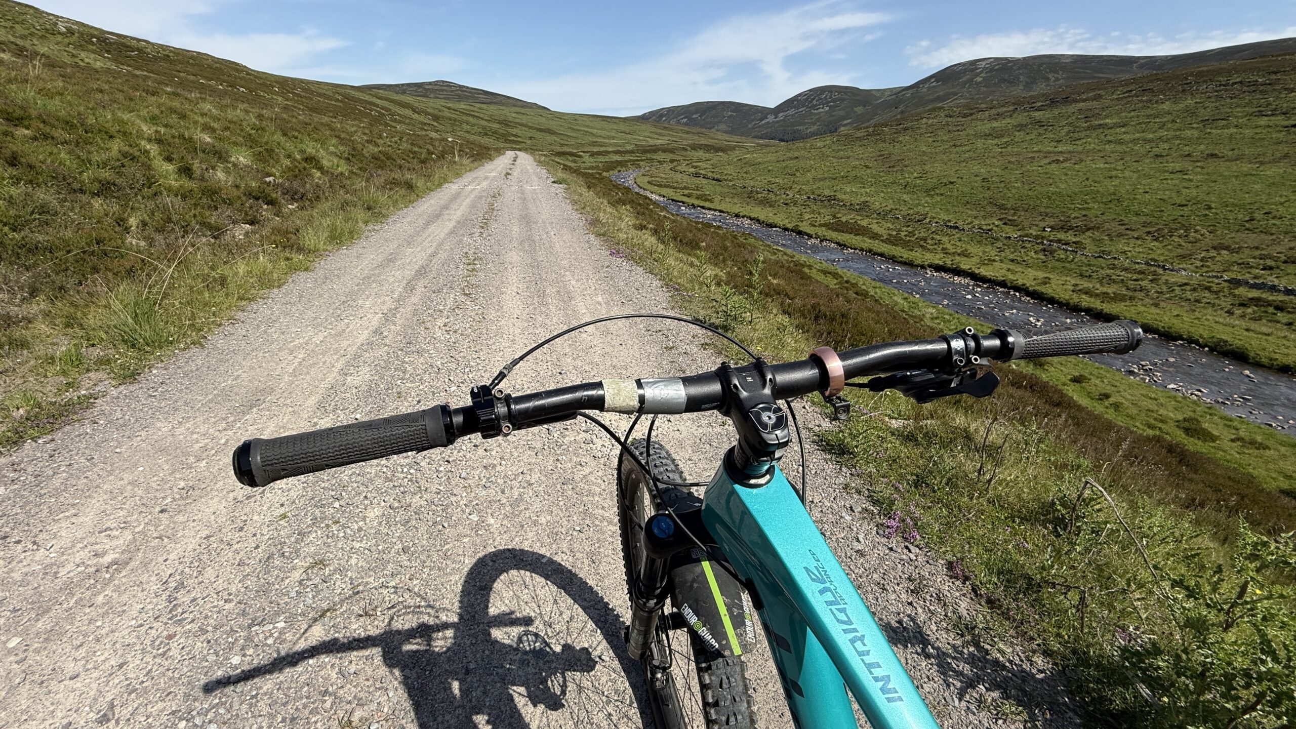
I cycled as far as a small dam on the Bruar Water. The glen is truly beautiful and you are never far from the river that meanders along its base.
Hike of Beinn Bhreac
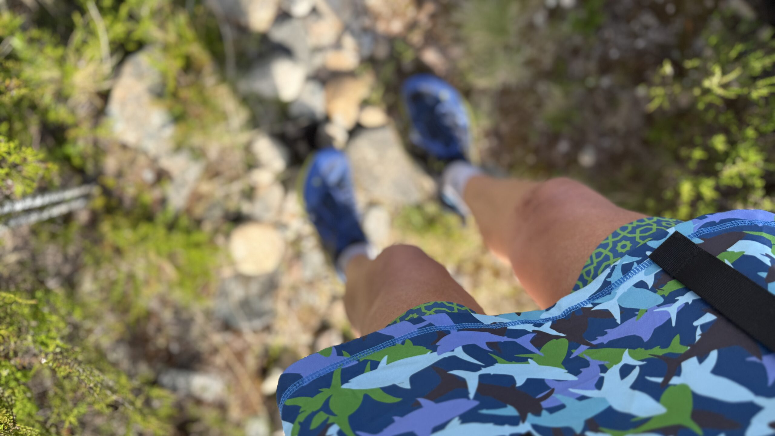
Having left my bike at the side of the track and swapped cycling shorts for my Flanci skort, I checked the map and then headed NE off the wide track and on to a narrow path through ground thick with vegetation.
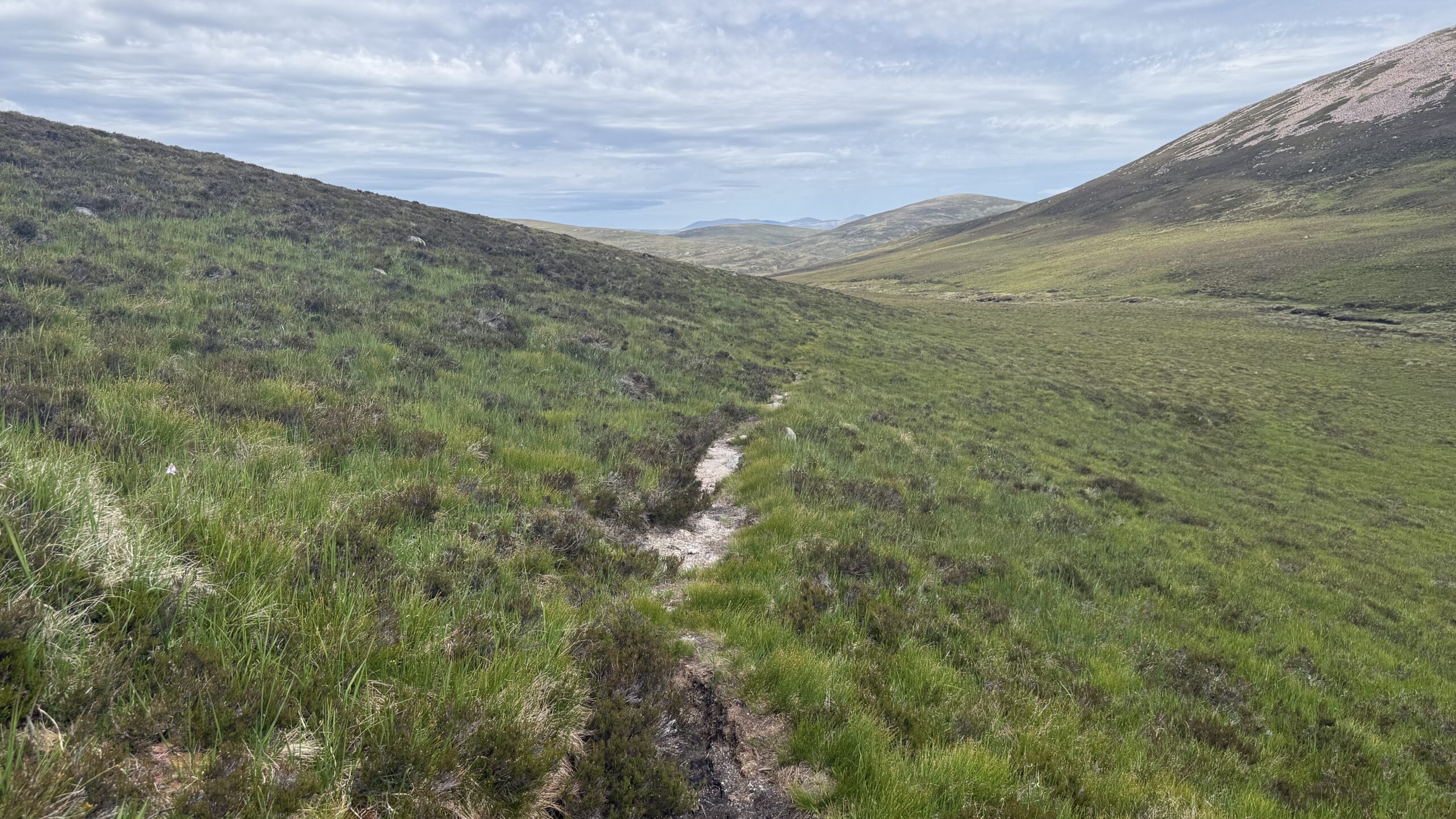
I was surprised that the path continued – remote Corbetts do not normally feature many paths – but I welcomed it. The path climbs steeply up the left hand side of Allt Beinn Losgarnaich. The steep-sided river gorge features a fast flowing burn and many stunning waterfalls.
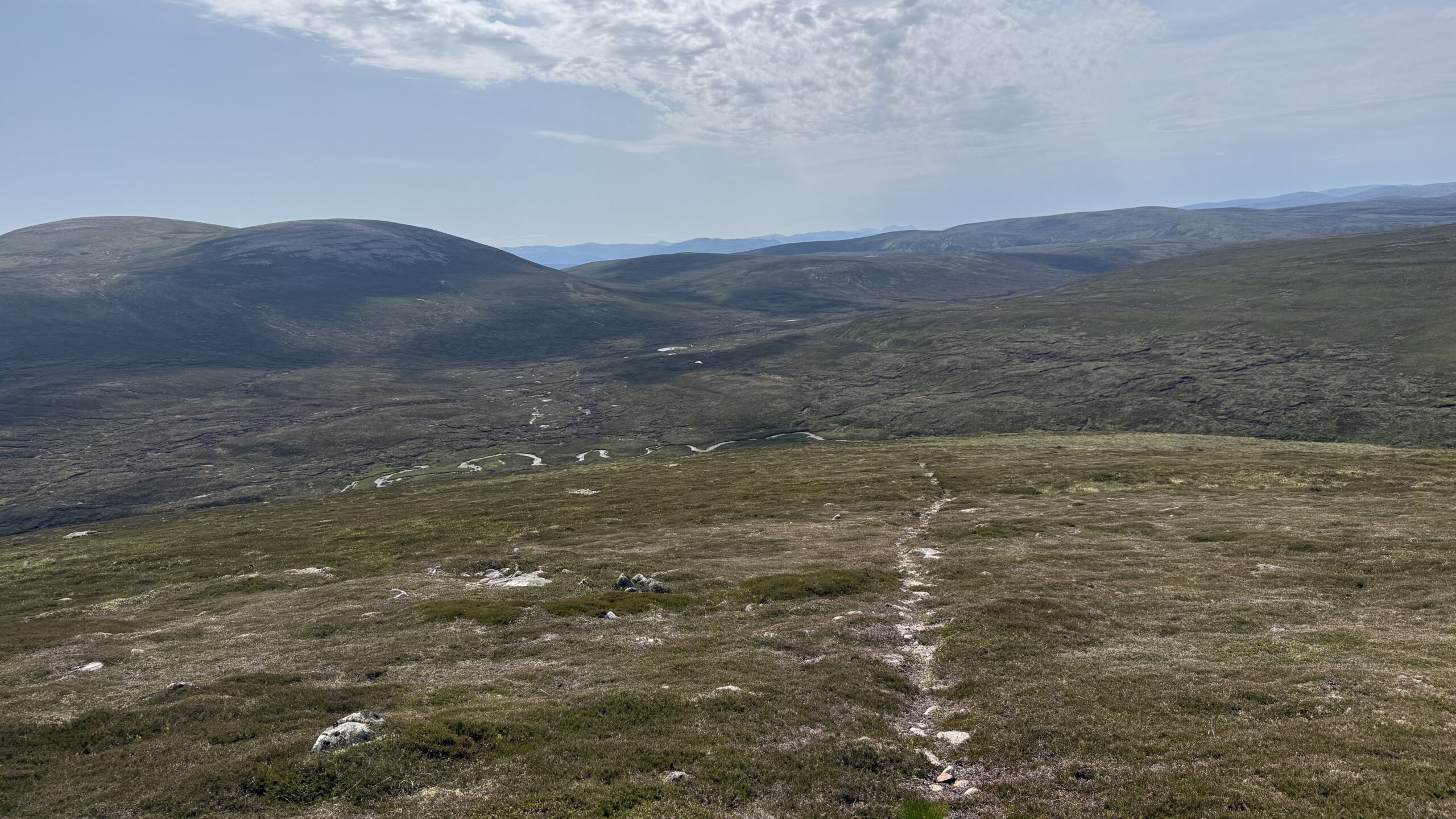
Having started the walk section at around 470m elevation, I made quick work of the further ascent. At around 635m, there was a short zig-zag in the path and then it continues to climb to reach a fairly flat area at round 700m elevation. This moorland plateau sits above the gorge, spanning to the north.
To my right, I could see the Munro Beinn Dearg and its neighbour summit Beinn Gharbh rising steeply. I wasn’t sure at this stage if I would include the Munro in my route, although anyone one who knows me would have said the chances were around 99.5%!
The flatter moorland walk – still on a trod – continued for around 2km in a generally northerly direction before the route turned east. The trod came and went through wet, boggy and haggy ground and then I started to climb again.
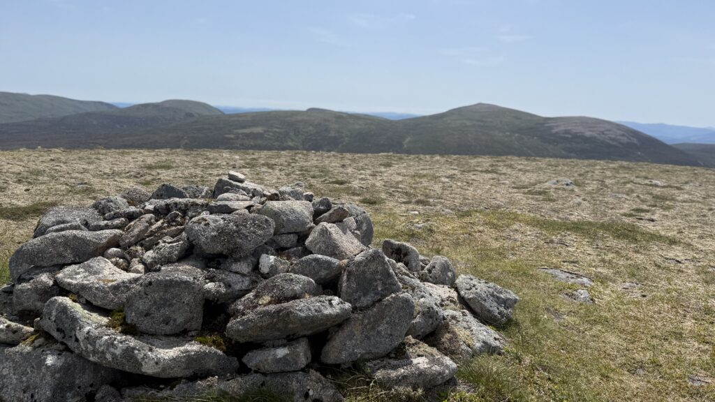
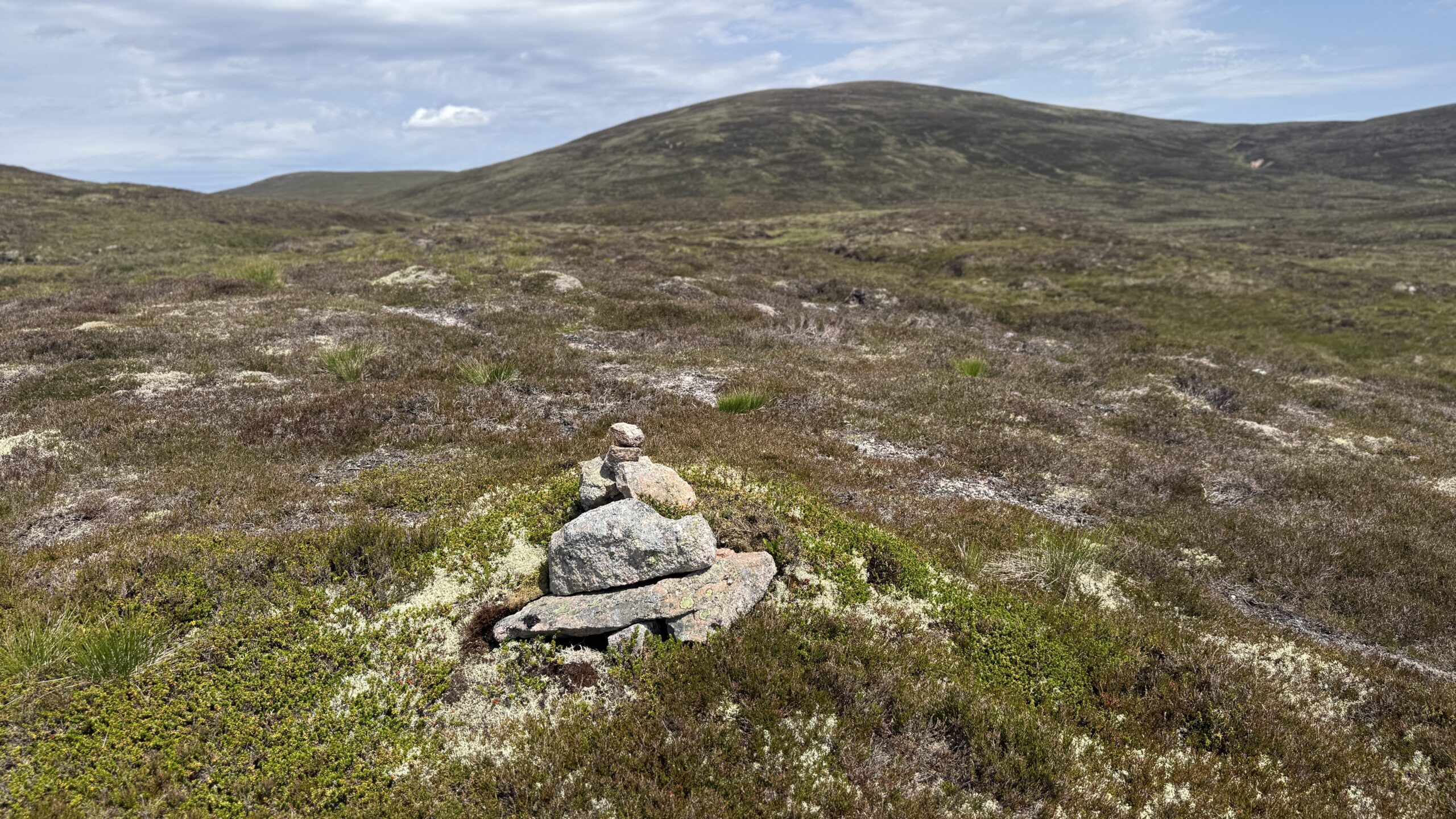
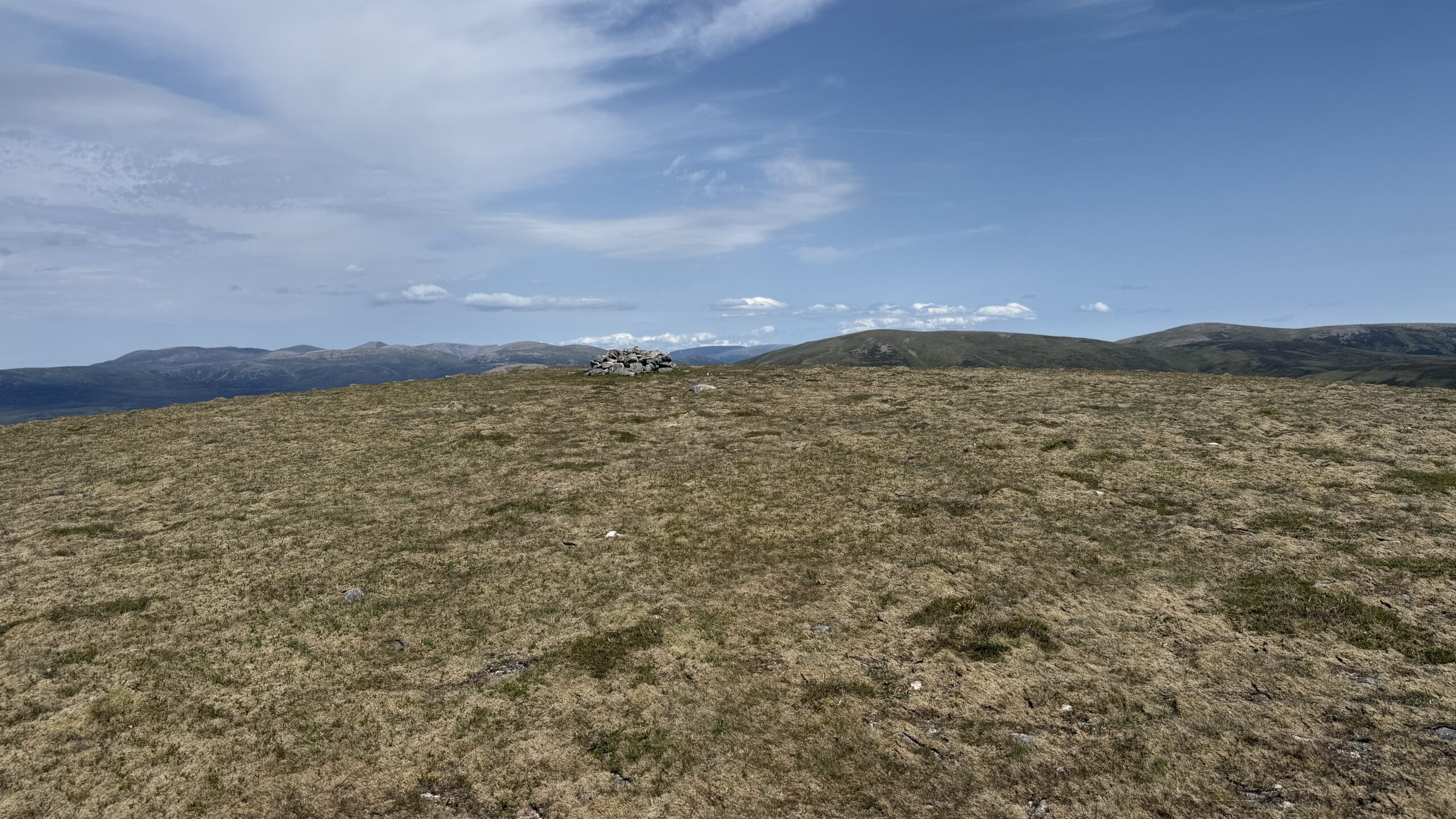
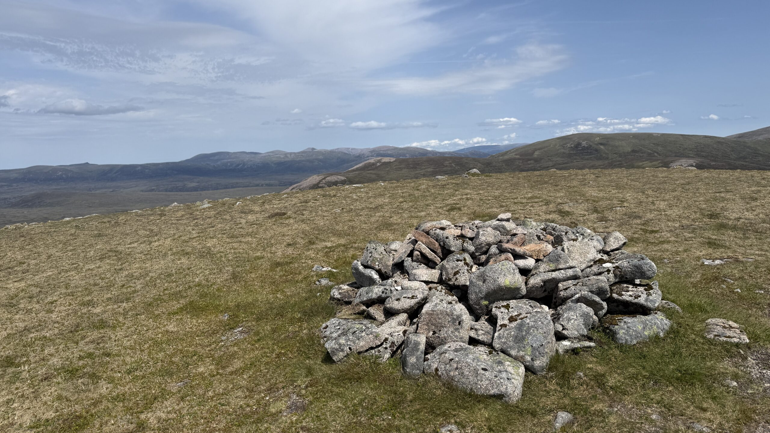
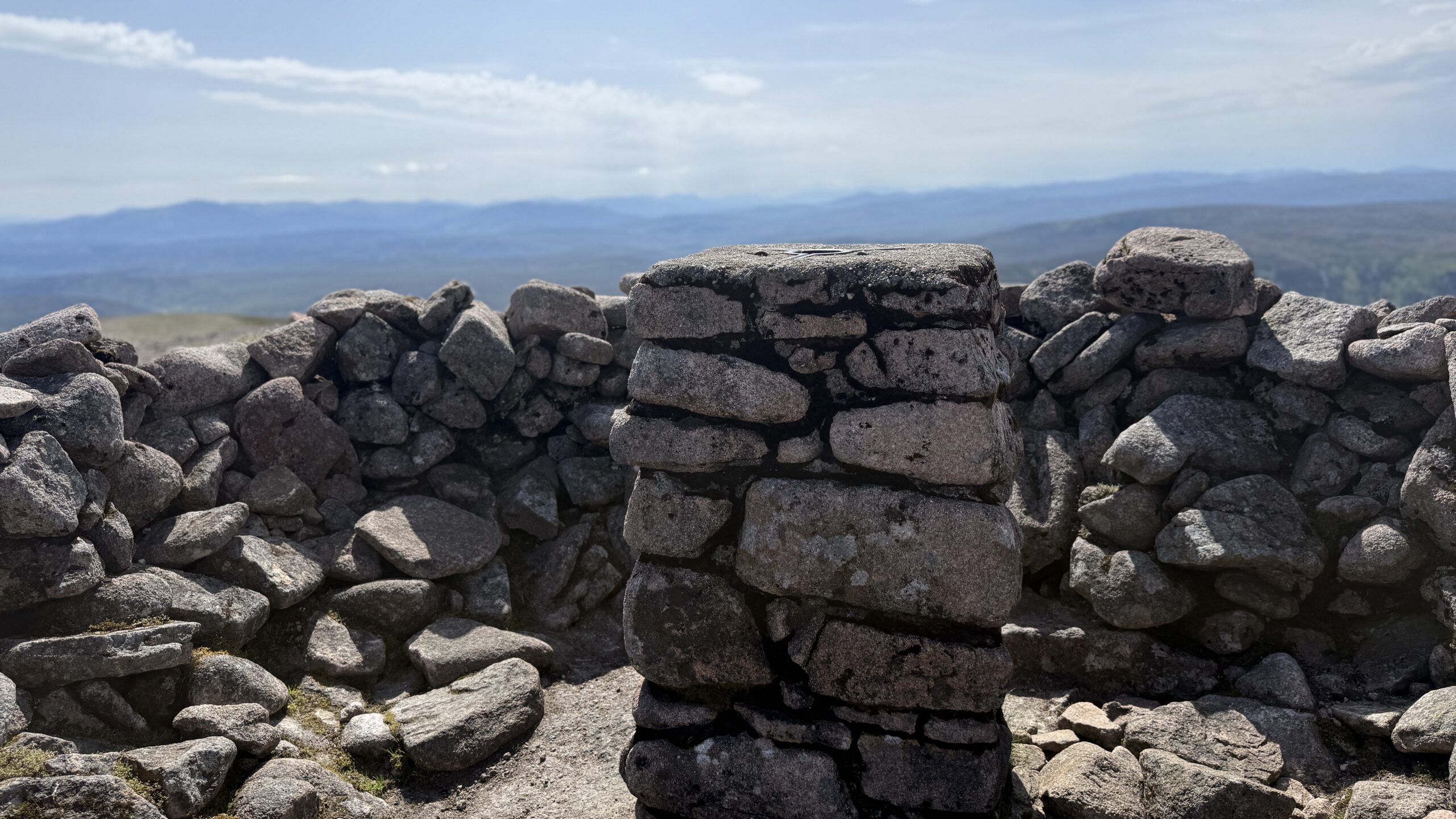
I took a line up the north-west side of Beinn Bhreac and finally reached the summit after some 7.5km of walking. At 912m elevation, this Corbett is only 2.4m shy of a Munro and it had seemed like quite a long trek from the start to the top.
The weather was very warm and the sun blazed in between brief periods of cloud cover and I was feeling quite drained of energy. Eating a couple of sandwiches and drinking more water – I collected extra water from various streams as I walked – I looked across to the Munro, Beinn Dearg (Blair Atholl).
I wondered if I had the endurance to take in the extra summit but after consulting the map I realised it was “sort of” on the way back to my bike and would only add an extra few hundred metres of ascent to the overall day.
I first bagged Beinn Dearg many years ago with Hubby G as part of my first round of Munros. I thought that if I ever do want to complete a second round, it would be worth ticking off Beinn Dearg while I was in the area.
Beinn Bhreac felt “properly” remote as I sat at the cairn and I loved the views of mountains in all directions.
Walk to Beinn Dearg (Blair Atholl)
As so, of course, I headed off Beinn Bhreac and towards the Munro. I found a fairly well-worn path to descend back to the lower plateau area. Instead of walking back to the top of the gorge, I cut across to the south and began the climb of the northerly flank of Beinn Dearg.
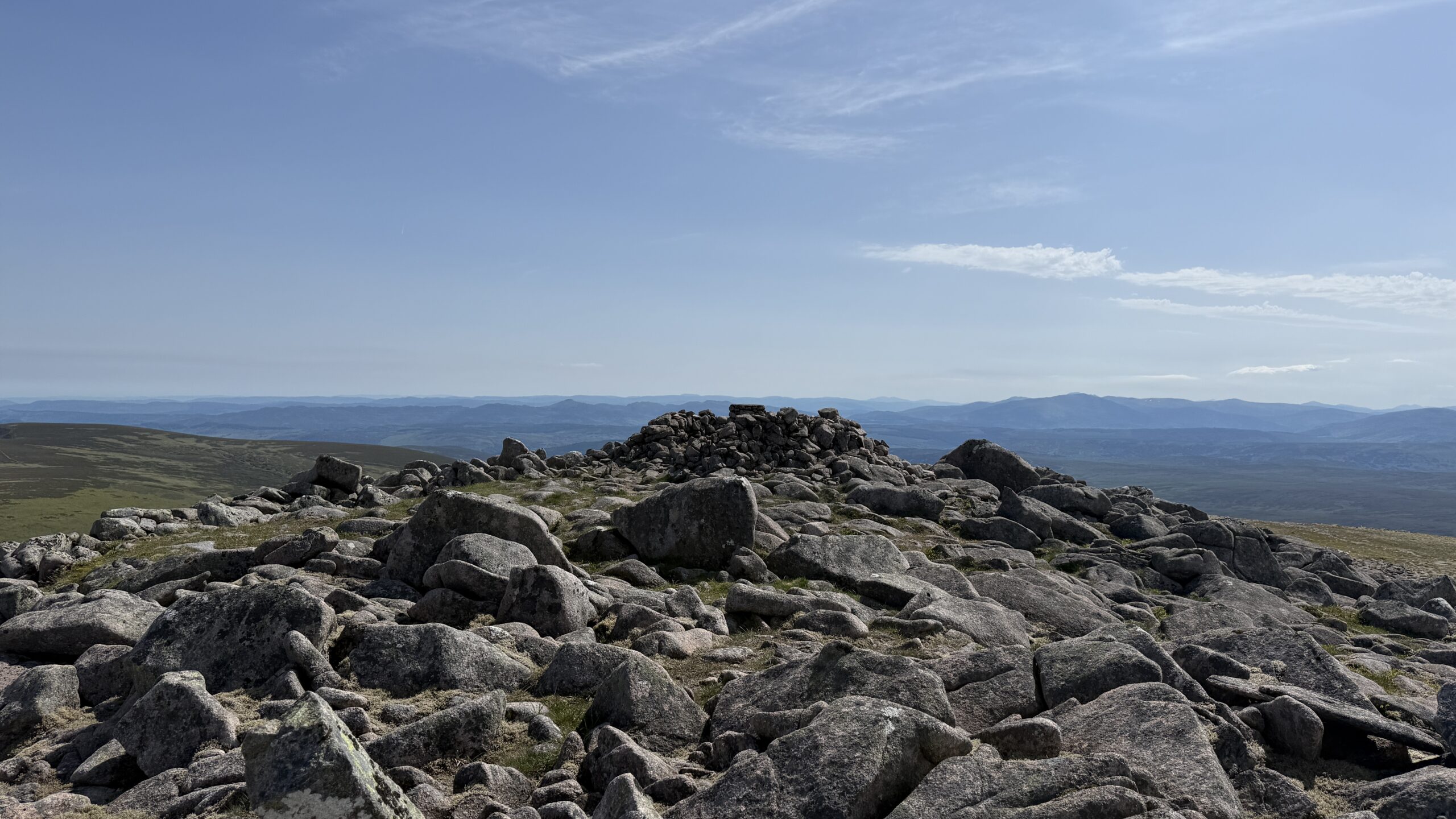
I avoided taking in the lower summit of Gharbh and simply ascended the rocky shoulder of Dearg. There was little that was particularly onerous about this extra bit of the route apart from rocks at higher elevation. The views as I crested the top were fantastic.
There is a short walk across the flatter summit to reach the trig pillar and shelter cairn, set to the north at 1008m elevation.
The shelter cairn provided some much needed shelter from the sunshine and also a stiff wind that had picked up over the preceding hour.
Walk back to bike
Having covered most 13km on foot, I needed to return to my bike for the return ride along the glen. I followed a wonderful path south off the Munro for a short while and then realised I needed to turn west, which entailed a tramp downhill to regain the gorge. This was a much less enjoyable hike because it covered a mountain slope covered in vegetation, mud, bog and many peat hags.
Thankfully, it didn’t last long and I was soon back at the head of the gorge at round 700m elevation. I followed the excellent path again but this time hiking downhill and not uphill.
By now, the wind was becoming quite strong and I was sure I’d find it annoying as I rode back along the glen.
Cycle route back to Calvine
As is so often is the case with the bike ride return leg along a glen, the overall experiences is fabulous. Yes, I had tired legs. Yes, my shoulders became sore because I was clenching the brakes. Yes, there was that annoying uphill section in the middle. And, yes, there was a bit of headwind in places. But, really, it was a fairly easy ride and much quicker than the outward ride.
You can see my moving times detailed below. I wasn’t rushing and the weather was hot.
I felt very happy to have finally ticked off this Corbett, which takes my tally to 183 of 222. In retrospect, I could easily have done this before but I am delighted I kept it for a day of fine weather and resulting great views.
Details of bike and hike: Corbett Beinn Bhreac and Munro Beain Dearg, via Glen Bruar
Bike ride 1: Strava and OS maps (Moving time 1 hour 20 mins)
Hike of the Corbett and Munro: Strava and OS Maps (Moving time 4:55)