
With a long weekend of good weather and a trip to southern Scotland planned, I decided to bag some of the 2000ft summits known as Donalds. The Donalds are named after Percy Donald and are identified as hills over 2000ft (609.6m) in the Scottish Lowlands. They are based on a rather complicated formula for determining separate hills. Currently, the list extends to 89 Donalds and 52 Donald Tops, which gives a total of 141 summits.
I recently walked the Glenartney Donalds in Perthshire, which qualify as the most northerly.
Donalds: Alhang, Alwhat, Meikledodd Hill, Blacklorg Hill & Blackcraig Hill
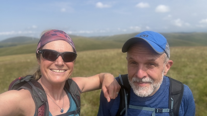
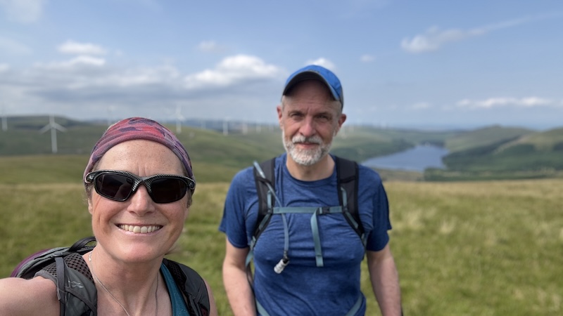
My friend Ben has completed a round of Donalds, but he was very happy to return to Ayrshire to walk a 21km circuit of Donalds and Donald Tops with me. We planned a circuit to reach three Donalds, Alhang, Blacklorg Hill and Blackcraig Hill, as well as two Donald Tops, Alwhat and Meikledodd Hill. The Donald Blackcraig also qualifies as a Fiona (Graham).
Car park to Alhang
We started at a small parking area (NS628055) next to waterworks and below the dam of Afton Reservoir, some 15 minutes from the village of New Cumnock.
Heading south on a track, we walked towards the dam. We cut right just after a second metal gate and climbed up over rough ground to reach a track higher up to the west. On another walk, a couple of days later, I discovered a path that leads up the right-hand side of the dam, then zig-zags through forestry to reach the same higher track at NS629048.
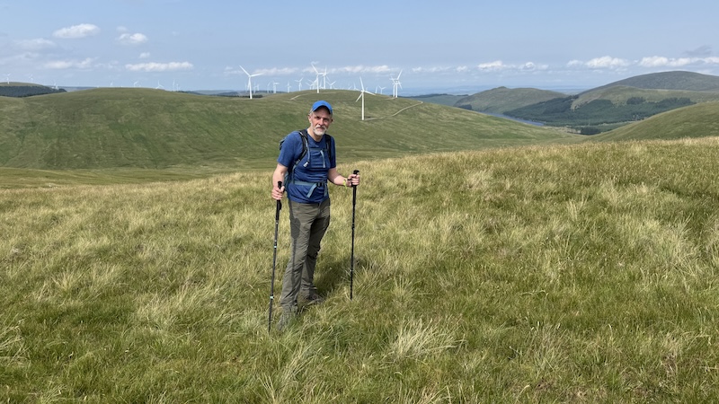
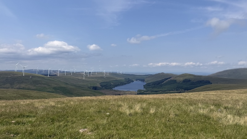
Once on the track, we turned left and walked south-west. The track is wide and climbs quite gently at first. This area forms a vast windfarm and many of the tracks have been created to serve construction and maintenance of the wind turbines.
At each junction, we considered the map as we headed towards Lamb Hill, then climbed steeply to Wedder Hill at 597m elevation. We skirted to the east of Millaneoch Hill, where we then met a fenceline. A trod follows the fence south-east and over rough moorland. There were some boggy areas but it was mostly an easy route to find and we made good progress to reach our first Donald, Alhang at 642m elevation.
The day had started warm and a bit cloudy but by the time we were sat on Alhnag, having a snack, the air temperature had risen and the sun was shining. It always feels like a treat to sit on a summit in Scotland wearing only a skirt and a vest top.
Alhang to Alwhat & Meikledodd Hill
The next hills seemed to come quite quickly after Alhang. Alwhat, a Donald Top, was situated a short distance north-east. We descended and then ascended over less than a kilometre, again following the line of the fence. If you are not familiar with the Donalds, you should note that it can sometimes be difficult to find the actual top of the rounded hills. This was the case with Alwhat and the 628m summit.
Sticking close to the fence, we used it as a guide to reach the next summit. Turning east, then north-east, we walked towards Meikledodd Hill. The summit of the Donald Top at 643m was a little way off along an ajoining fence line to the south-east and then up a little. When walking the Donalds, you often need to wander around a bit to find the top.
Blacklorg and Blackcraig hills
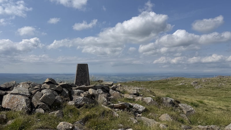
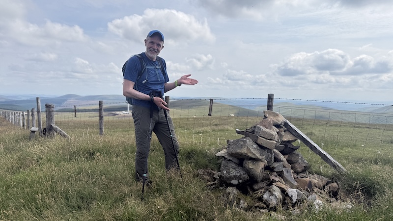
Returning to the original fenceline, we walked north and skirted around Littledodd Hill, then dropped to a spot height of 588m, before ascending NNW on to Blacklorg Hill. A pile of stones at 681m made the summit of this Donald much clearer than other local hills.
By now, the heat was oppressive and there was little wind or cloud cover to cool the atmosphere. Ben and I started to feel hot and fatigued but we still had another hill to climb.
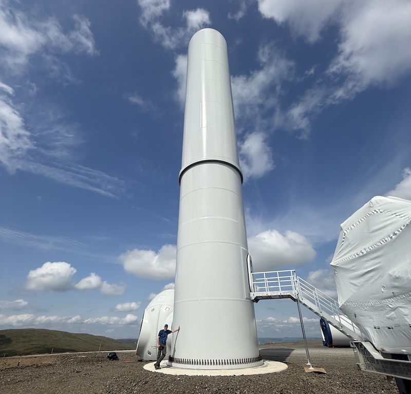
With the windfarm continuing to expand, we found ourselves back on mandmade tracks for a while and walking through a construction site. It turned out that a turbine was being put in place and a polite worker approached us to ask what we were doing. We explained we were headed north towards Blackcraig Hill and he asked that we move along quickly and didn’t stray towards the turbine and crane.
Leaving the construction area behind – we had to descend a short but very steep track edge – we walked on to much rougher ground. We knew there would be a trod heading uphill and we kept an eye out for this as we walked north uphill.
While we had found the trod, it was quite a struggle to push on because it was so warm and we both dropped our pace, especially as the slope steepened. The narrow path took us through grass and heather, and then to a trig pillar on the flatter, rocky summit. It was great to have a significant marker for the Donald. There is also a large cairn further north, which we passed as we made our descent route from Blackcraig. This hill – a Donald and a Fiona – was the tallest of our circuit at 700m.
It was tempting – at least for me! – to walk a little further north and then track directly west downhill and back to Glen Afton for the return. There are crags marked on the map, but it would have been fairly straightforward to avoid these.
However, Ben made a better suggestion to descend over Quintin Knowe and return to a wide track to the north. This turned out to be a good plan and once on the track, we made a easy descent west and then joined the narrow tarmac road to walk south and back to the parking area. It was very hot in the lower glen and the air was still so it was a relief to reach our vehicles.
This is a great rolling circuit of the Ayrshire hills. The views include dozens of wind turbines but if you look past these, the countryside is beautiful.
Route details: Alhang, Alwhat, Meikledodd Hill, Blacklorg Hill & Blackcraig Hill
Distance: 21km
Total ascent: 960m