
This route of 38km with 2100m of ascent starts and finishes at the Sugar Bowl car park on the road to Cairngorm ski centre, near Aviemore in the Scottish Highlands. I ran-hiked with my friend David V on a well-defined path via the Chalamain Gap, along the Lairig Ghru, to reach Corrour Bothy. We then completed a traverse of four Munros, Devil’s Point, Cairn Toul, Sgor an Lochain Uaine (also known as Angel’s Peak) and Braeriach.
The countdown to a Munro round
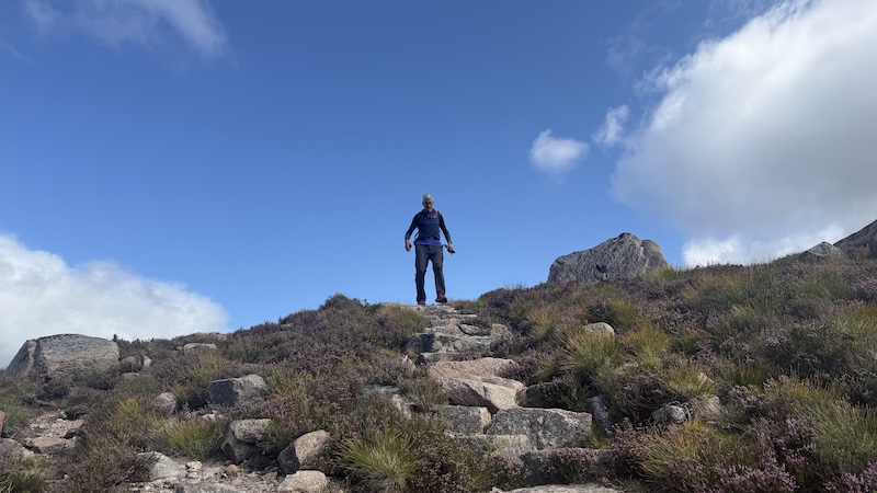
Against the odds, David was counting down the final 36 Munros of his first round and he had his sights set on the four Munros, Devil’s Point, Cairn Toul, Sgor an Lochain Uaine and Braeriach, above the Lairig Ghru.
It is only five years since my friend had a life-changing accident on a mountain in Glen Strathfarrar. You can read about his comeback, although he was told just after the incident he may never walk or run again.
Amazingly, he has returned to many of his former much-loved activities, including long-distance cycling and running, as well as Ironman. However, the mountains can still pose a mental challenge for David. He is much more anxious about the potential for trips and falls, so it makes a lot of sense for him to go out with a friend.
I am a friend who is very happy to accompany him in the mountains, especially on the longer and more remote routes.
Sugar Bowl to Corrour Bothy
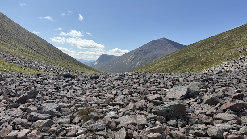
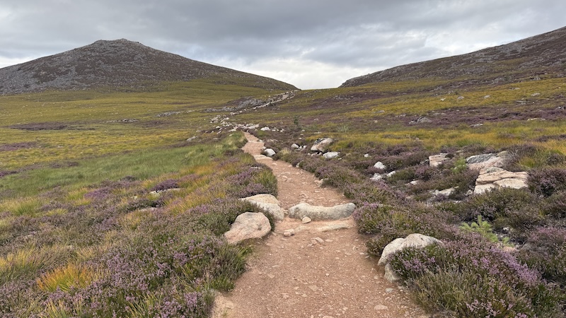
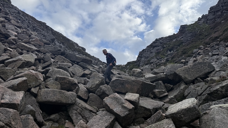
The start of the route leaves the Sugar Bowl car park, crosses the road, then joins a path (south-west) that descends at first to cross a bridge over a fast-flowing burn (Allt Creag an Leth-choin) before then ascending – and ascending. Our aim was the impressive Chalamain Gap, which we could see on the distant horizon. It was the first time that David had encountered the rocky gorge and we both enjoyed the easy scramble through the myriad boulders. The Chalamain Gap was created by a violent release of glacial meltwater during the last Ice Age.
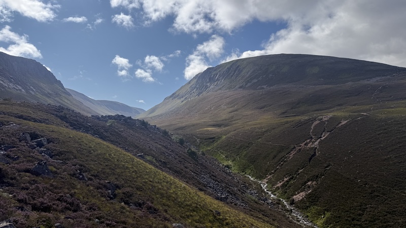
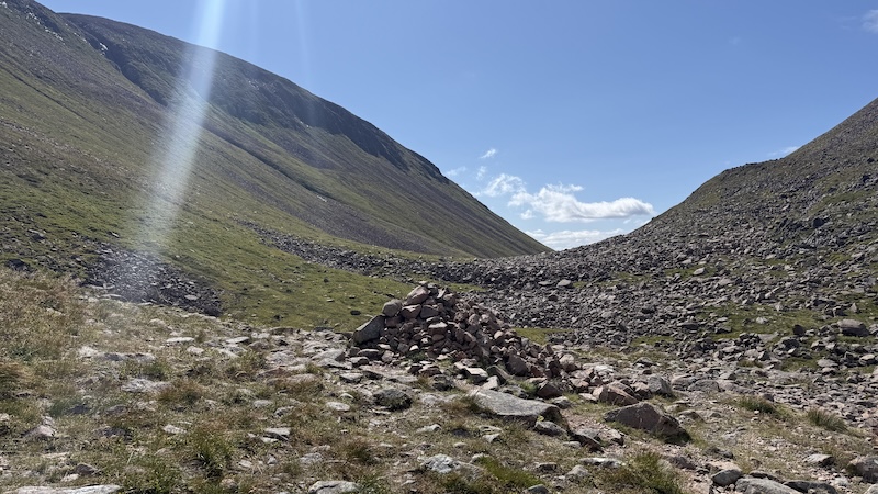
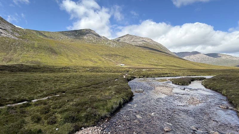
After a short descent, the path then starts to climb again and joins the Lairig Ghru, an old right of way between Speyside and Deeside. The path climbs to an elevation of some 835m, before it starts to descend again.
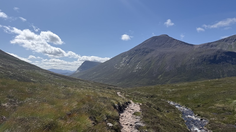
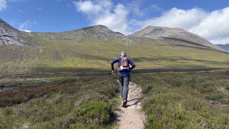
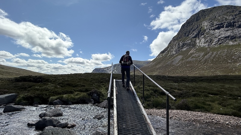
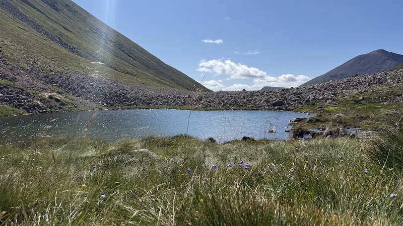
While this part of the route is long – and includes a somewhat disheartening descent to reach Corrour Bothy, it is very beautiful. Steep-side mountains line each side of the high pass and we enjoyed calm conditions. It had been a long time since David had been on a long and remote hike in Scotland’s mountains and he really relished the challenge and the landscape.
Another bonus is the obvious route finding. The path, running along the east side of the River Dee, is well-trodden and we could clearly see the way ahead.
Our aim was a bridge over the river just to the east of the bothy. If you prefer to complete the route over two days, the bothy would make a good overnight spot. I recommend you take a tent as a back up, though, because the bothy is popular with walkers on the Lairig Ghru. By this point, we had run-walked some 14km, which was not even halfway.
Corrour Bothy to Devil’s Point
Looking up from the bothy, a path zig-zagged steeply uphill to the west. This was our access route to the traverse of the four Munros and we set off at a brisk walking pace, rather than a run. My aim for longer mountain routes is to run the flatter sections and the downhills and to walk briskly uphill.
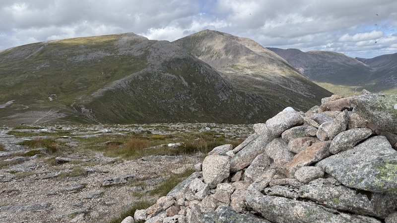
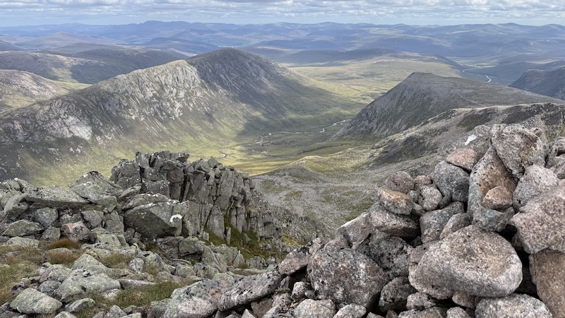
The summit of Devil’s Point requires a short detour from a bealach above Coire Odhar. It is also the smallest Munro on the ridge at 1004m elevation. The expansive views from the cairn are breath-taking and we stopped to take photos and eat a snack.
Devil’s Point to Braeriach
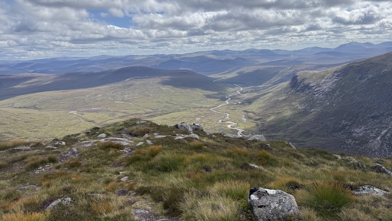
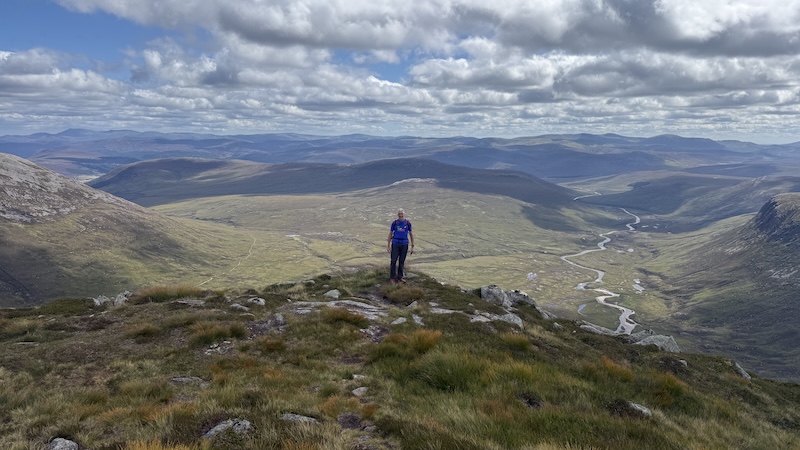
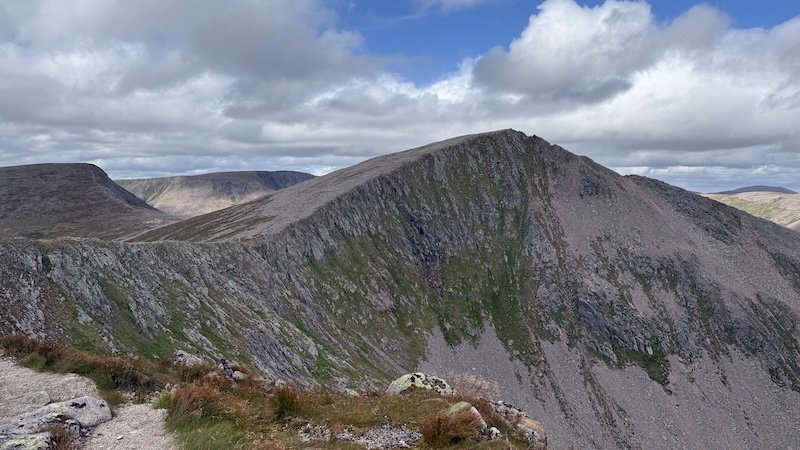
David and I needed to retrace our steps back to the bealach and then head north-west and uphill again towards Cairn Toul. There is a false summit at 1213m, which gives excellent views along the ridge and down to the Lairig Ghru. In fact, the entire ridge, which drops away very steeply to the east, provides the most awesome vistas and, for this reason, I suggest you save the route for a day of good weather.
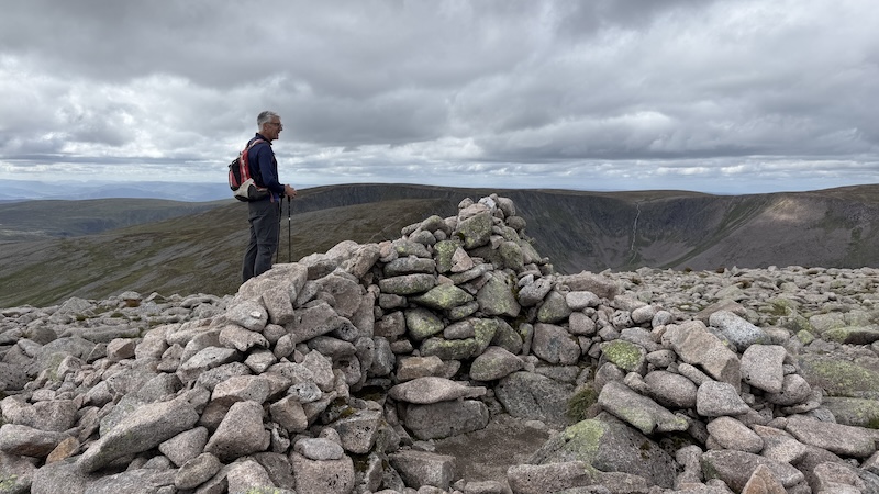
We were soon at the true summit of Cairn Toul at 1291m and stopped for another quick bite to eat before heading north-west and along a concave curve of the ridge to reach Angel’s Peak. I kept track of the descent and ascent between these tow Munros and I clocked it as 130m, which is not much at all.
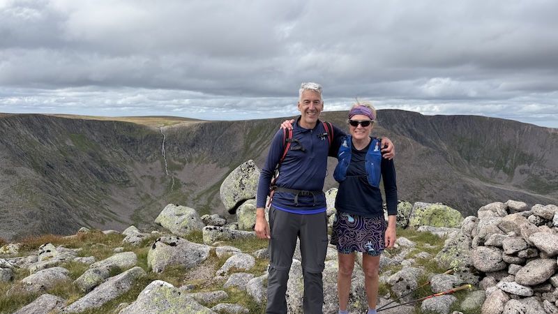
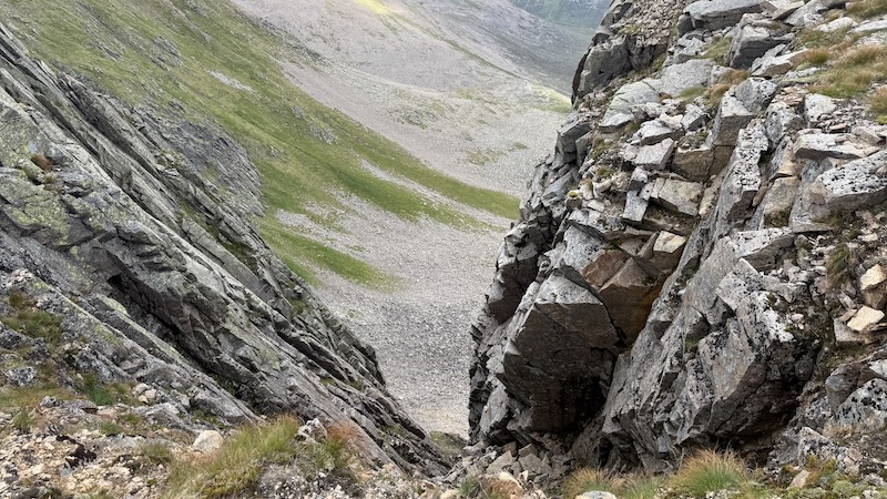
With three Munros under our belts in fairly quick succession we then head on to the final Munro. As I’d recalled from previous outings along this ridge, Braeriach is a long time coming! There are several undulations along the ridge and we needed to curve round to the west, then north and then north-east.
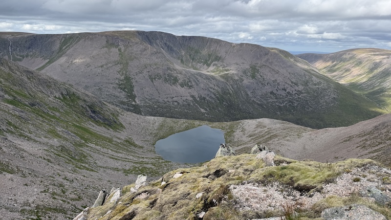
Neither of us minded the long traverse, however, because the ground was easy going and mostly runnable and the views were superb. We stopped to take photos at the Falls of Dee, a high waterfall that cascades into a steep corrie, and then focused our attention on the next high point on the ridge, although bit still looked to be quite far along the curvaceous ridge.
Braeriach, at 1296m, is the highest point on the route – and the third highest mountain in Britain – and gives the most incredible views. If you are not keen to complete the full traverse a hike up to Braeriach summit is well worth the effort.
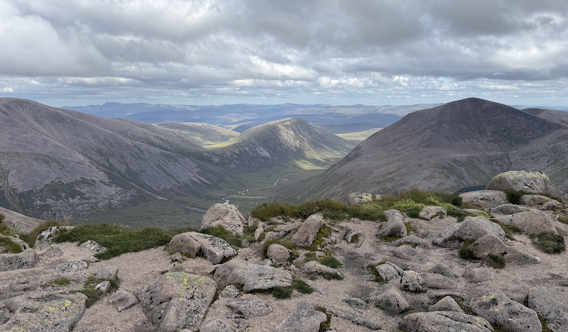
Braeriach to the Sugar Bowl
Having completed all four Munros, we knew we were on the homeward straight but there was still quite a long way to go, and on tired legs. We also remembered we had a section of uphill to come to reach the Chalamain Gap.
At first, we continued along the ridge, then descended to Sron Lairig before a long downhill on a rough and stoney path back to the Lairig Ghru.
David’s feet were sore and my knees were niggling me, but we remained cheerful. Camaraderie is always so important for motivation on long mountain days.
We stopped lower down to chat to a couple of men – most likely a father and son – who were setting up camp for the night. It was a lovely spot and they were hoping the stiff breeze would keep away the midges.
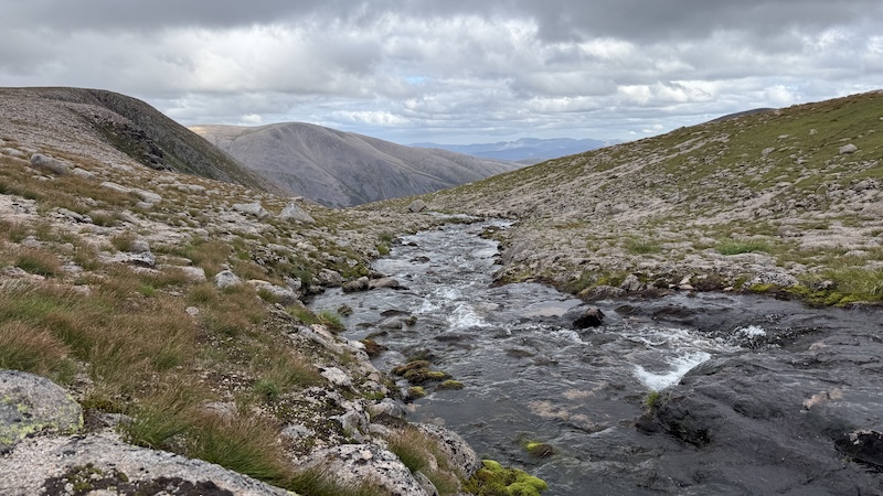
Descending a little further, we crossed a narrow part of the river and then looked uphill. The next section of the route seemed to ascend far too steeply and we questioned if this was the right way. Of course, it was and it was our memories playing tricks on us. Our earlier enthusiasm and fresh legs meant we had not taken in the descent form the Chalamain Gap to the river.
After checking the map, we knew we needed to get on with walking back uphill and, thankfully, the ascent looked worse than it actually was. We jogged and walked and before long we were scrambling through the rocks of the Gap again.
Now we truly were on the homeward straight and we enjoyed a run downhill on the same path we ascended that morning. There was a wee sting in the tail at the end, with a short pull uphill from the bridge over the burn to return to the roadside and then the Sugar Bowl car park.
Whether you decide to complete the route in one outing or over a couple of days, it’s one to save for a good weather forecast. It is remote and committing and the views need to be seen to be believed.
Route details: Devil’s Point, Cairn Toul, Sgor an Lochain Uaine and Braeriach loop from Sugar Bowl car park
Distance: 38km
Total elevation: 2100m
Our route: Strava