
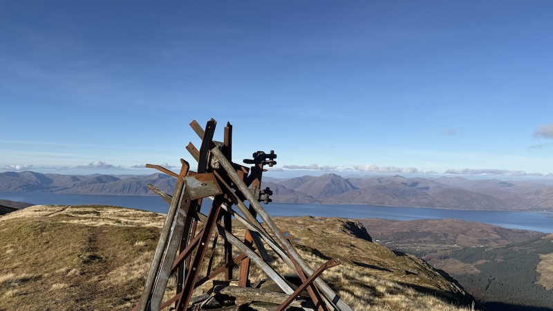
Fraochaidh is acclaimed for great views, set at the heart of Lochaber in the Highlands. I chose a route from Duror, on the A828, south of Onich, to reach the summit of the Corbett. There are a couple of other route choices, such as from Glen Creran and Ballachulish, but after checking a map, I decided the Duror route was the right distance for the time I had available.
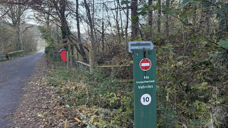
Parking is limited at the start of the route but I was able to park carefully at the side of the start of the walk, just off the road and before a stretch of tarmac that is signposted as “no entry: no unauthorised vehicles”.
Walk to Fraochaidh summit
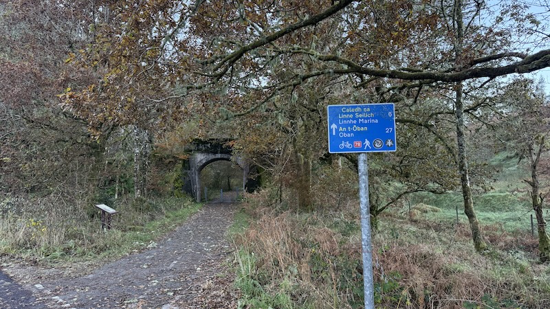
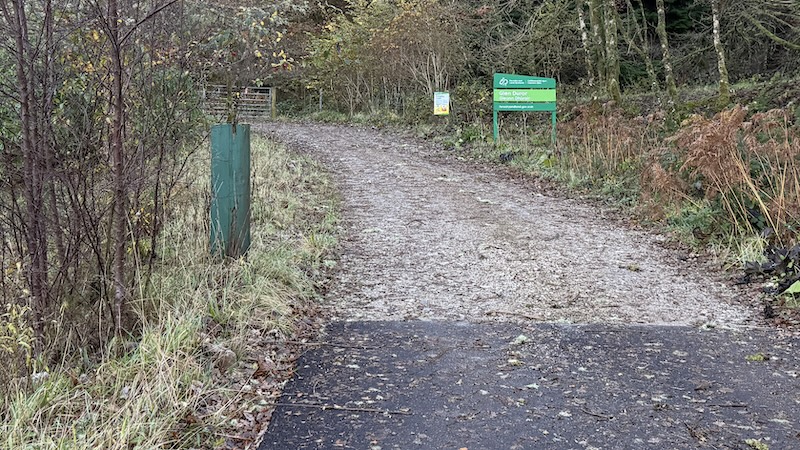
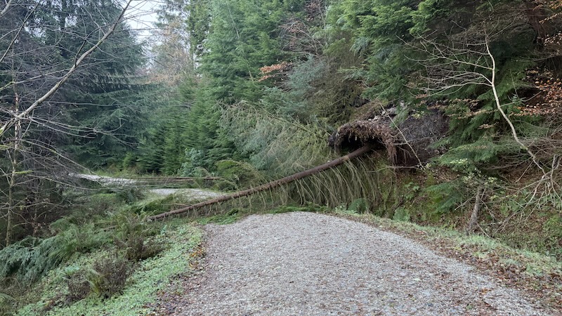
The first part of the walk heads along the private road, which is flat and tarmacked. It is part of the Route 78 cycle way and also serves several houses. After 500m, just before a bridge archway, there is a junction. Take the left track here and head into Glen Duror forest.
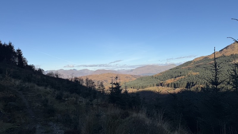
The wide track winds uphill, east and then south-east, through a plantation of tall trees. It’s not long before the views widen along the glen, with the steep-sided Munro Sgòrr Dhònuill (Beinn a’ Bheithir) to the north (my left) and other smaller peaks further east in the distance.
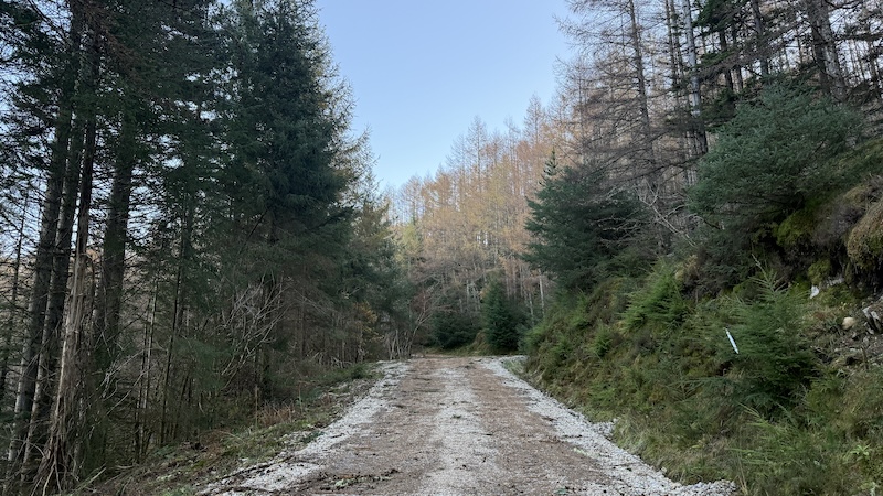
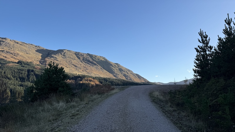
I was grateful that the forecast for a calm and sunny day had been correct.
By the time I left the forest behind, I’d ascended to more than 400m elevation and covered a distance of some 4.5km. Most of the climb thus far was gentle, so it felt like a bit of a rude awakening to find myself suddenly on a steep and narrow path tracking through vegetation and more widely spread trees.
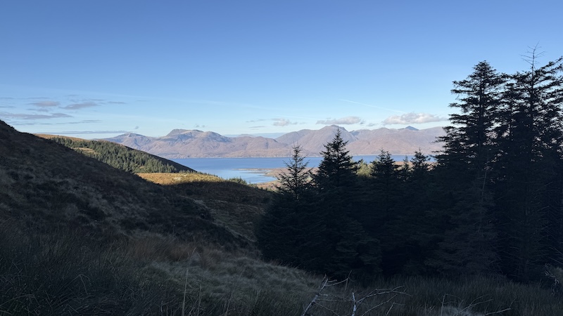
Where there were gaps in the forest, I enjoyed superb views of surrounding mountains and lochs.
The path ran out at a fence line, which I then followed for a short while SSW before the next stage of the route on open moorland.
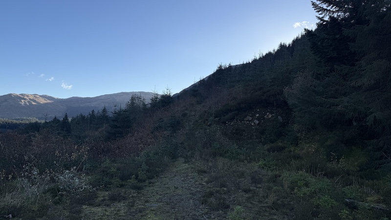
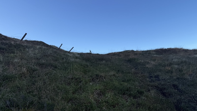
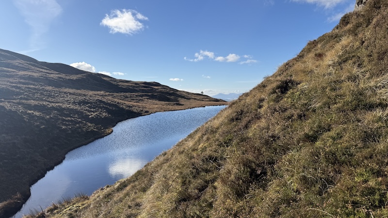
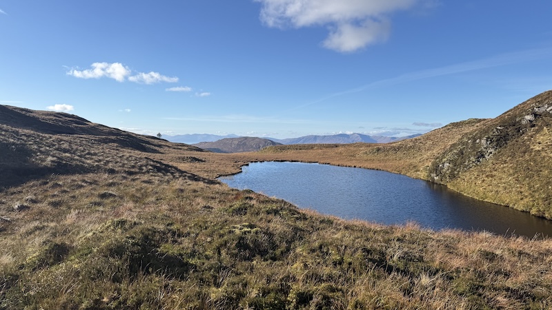
My route changed direction to ascend south-east and steeply uphill. There were bits and pieces of trod but since I knew my objective was two lochans, I simply tramped over the vegetation in generally the right direction.
On the climb to the summit of Fraochaidh, I chose a route between the lochans. It was quite wet and boggy but it avoided a steep section of decline. Meanwhile, on the descent route, I took a slightly shorter route to the east of the more southerly lochan. You can see a link to my route in the “details” lower down this article. Both routes are good.
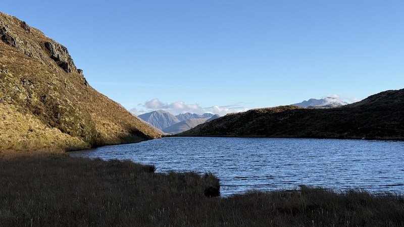
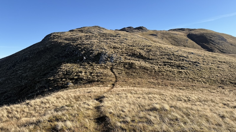
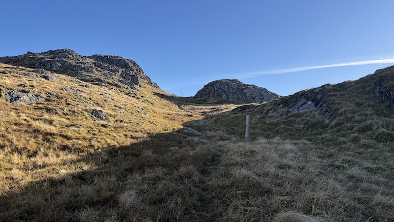
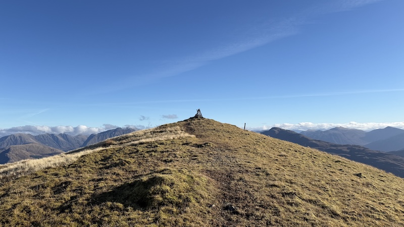
From the lochan, the ascent continued south-easterly and staying west of a long length of crags. The going was not too strenuous and the views continued to grow ever more stunning. The sun was so strong and bright at times that I had to shield my eyes from the glare so I could stay on course.
The route turned a little more easterly from around 700m elevation. From Coire na Capuill, I picked up a faint path that wound more gently uphill in a south-easterly direction.
Then, from around 800m, a series of old fence posts pointed the way uphill and through outcrops of rock to reach the summit at 879m. The top is marked by an unusual looking cairn constructed from lengths of metal, presumably formally part of a fencing system.
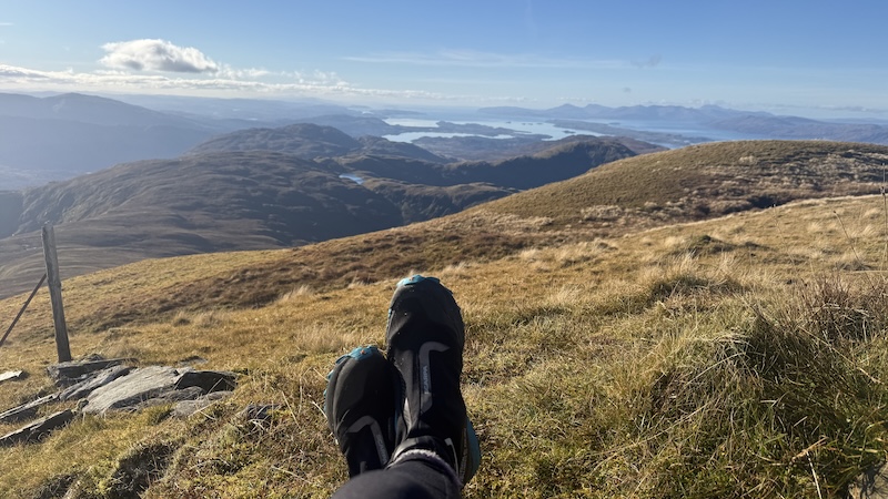
It was still amazingly calm even at this elevation and I stopped for lunch, taking in the fantastic full 360-degree vista.
Return walk on Fraochaidh
My descent route was almost exactly the same as the ascent except I managed to find longer sections of a trod on the upper mountain slopes and I diverted to the east of one of the lochans. From here, I quickly regained the track to return back through the forest on the wide track.
The full walk took around 3 hours 20 minutes of moving time, with extra time to stop to take photos and for lunch. This is a walk I would highly recommend on a fine day because the views are impressive.
It would be possible to reduce the walking distance by using a mountain bike to ride the forest track to 400m elevation, there and back.
Details: Fraochaidh, from Duror, Appin
Distance: 14km
Total ascent: 960m
Corbetts bagged: 185