
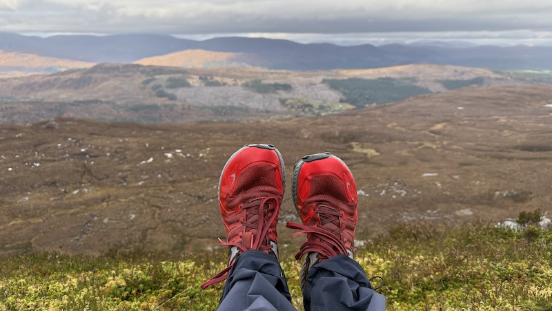
Very much in need of a leg stretch and some time to myself after a busy week of work, I decided to head to a fairly local Fiona, Carn a’ Chaochain, in Glen Affric. The mountain rises in a long ridge and to a height of 706m south-west of the small settlements of Cannich and Tomich.
I decided to follow Steven Fallon’s route. The Munro rounds record holder – currently 16 rounds – has been turning his attention to Fionas (Grahams) more recently and he has been documenting his routes on his excellent website.
The start of Steven’s Carn a’ Chaochain route is at the car park for Plodda Falls, at the end of a long, single-track tarmac road south-west of Inverness. There are charges for parking. I paid £5 for a day’s parking and used a card on my phone to make the payment.
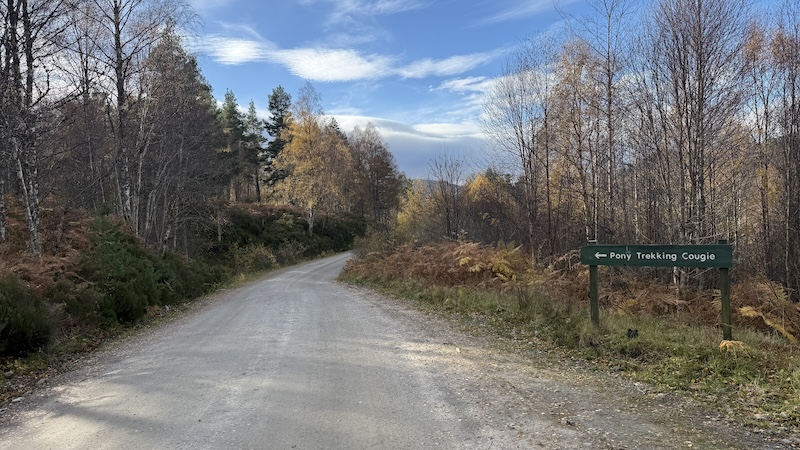
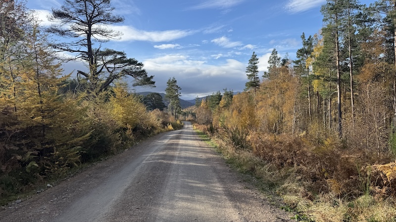
Bike route to the mountain
I chose to follow Steven’s example and ride my mountain bike – a gravel bike would be fine, too – from Plodda Falls car park along a track of some 5km towards Cougie pony trekking centre. In retrospect, it would have been possible to carefully drive the track.
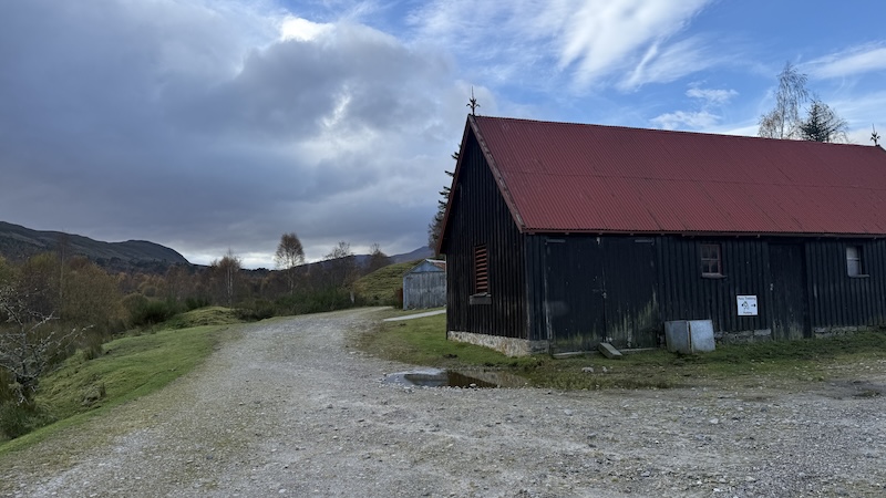
Just before the pony centre there is a red-roofed building at a junction. There is possible parking for one or two vehicles to the side of the building or the track.
However, the advantage of the bike was the extra 500m of cycling past the building to reach the turn-off for the start of the walk up the hill. If you drive, you will walk this 500m at the start.
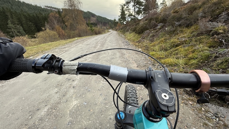
The cycling was not arduous and included only a few short hills. In total, the elevation gain was just over 100m. The track was fairly smooth for a non-tarmacked surface. It also offered breath-taking views of Affric forestry, looking even more beautiful with the autumnal foliage.
I took a left fork at the previously mentioned buildings and then cycled on before spotting a small pile of stones on the left hand side of the track. I left my bike and swapped to walking.
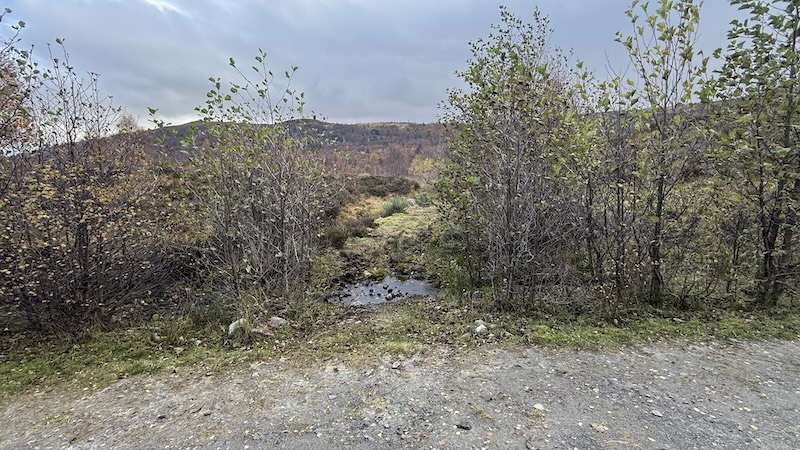
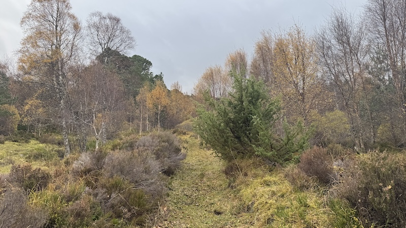
Hike of Carn a’ Chaochain
The path headed almost immediately uphill through woodland and it was quickly obvious this would not be a dry hike. The ground was water-logged and boggy and it was only after the forest track that things became drier for a short while.
I enjoyed the path through the forest. It was steep in places but the woodland is pretty and includes Scots pines and native trees. I also spotted the remnants of patches of different fungi, including chanterelle mushrooms, on the path.
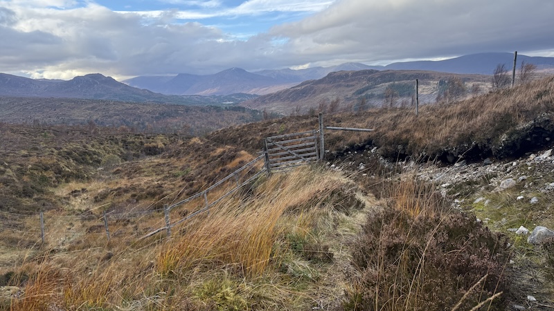
The track continued as I came out of the top of the forest, before reaching a gate in a deer fence. From here, I could see the track curving uphill to my right and onwards to reach a ford. The crossing of the shallow river was fairly easy on rocks and I continued on a wet and boggy path towards a bealach.
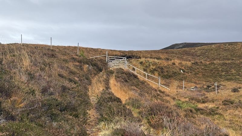
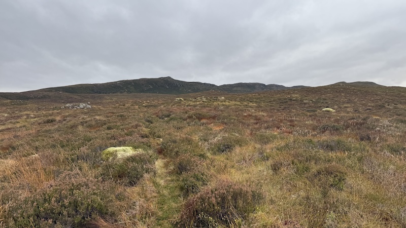
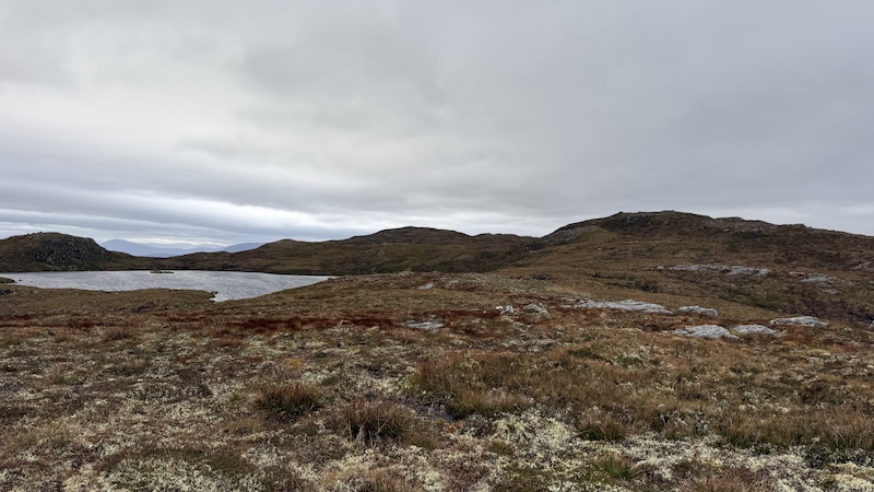
After the steep forest path, the first section on the open hillside was gentler. But this was to change from the bealach, when the going became steeper again.
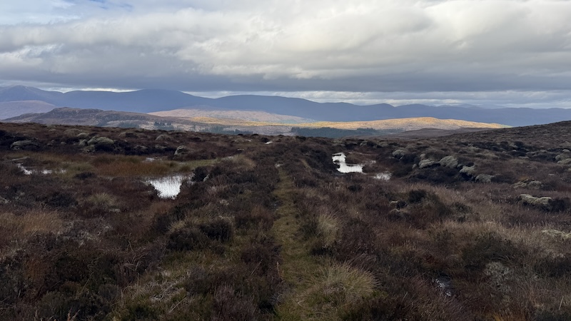
I confess I lost the route of a trod at this point and simply tramped over rough moorland in a south-westerly direction. The visibility was good and I could see the general direction to the first rise at the north-eastern end of the broad Carn a’ Chaochain ridge.
Looking back later on, I think was too eager to make uphill progress because on my descent I discovered a much more obvious trod that was far easier to walk. If you want to stay on the path/trod follow my return line slightly to the east of my outward route.
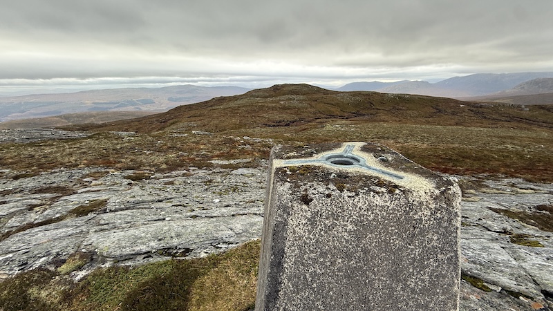
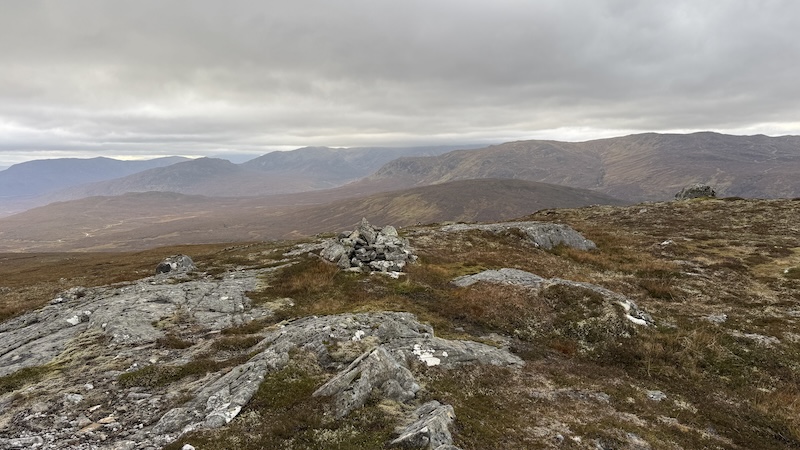
Again, my uphill route differed from my downward route and I headed up to the first rise at 669m. This isn’t necessary, although I don’t think it made a great deal of difference to the distance walked.
From the 669m summit, I tracked a direction generally south-west, passing to the north of a surprisingly large lochan, and on to another summit at 704m, marked by a trig pillar.
But beware all you baggers because this is not the true summit. There is little in the way of trods on this part of the walk, so if the visibility is poor, you will need to navigate with a map and compass.
To reach the highest point on the ridge, you need to walk in a more southerly direction, heading downhill and then uphill again to a height of 706m.
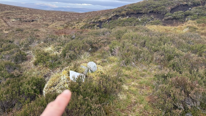
There is very little height difference but as a Fiona bagger I like to be as sure as I can that I have made it to the highest point. There is a larger cairn and a smaller cairn on this final summit and I touched them both (to be doubley sure!).
The summit offers fantastic views but it was quite breezy and I felt a bit chilly, so after a photo or two, I headed back downhill the way I’d ascended. I found a nice sheltered spot – out of the wind – for a sit down and a bite to eat. It was great to find myself with a much calmer head than when I set out.
I enjoyed the stroll back downhill. The wind was behind me and the day seemed warmer. Lower down, I could see the track and path that I would have been wiser to follow for the ascent. The path offered an easy snake through heather and other vegetation before I reached the ford once again.
The rest of the route was a described for the outward route. I rejoined a wider track, passed back through the gate in the fence and then walked downhill through woodland to reclaim my bike.
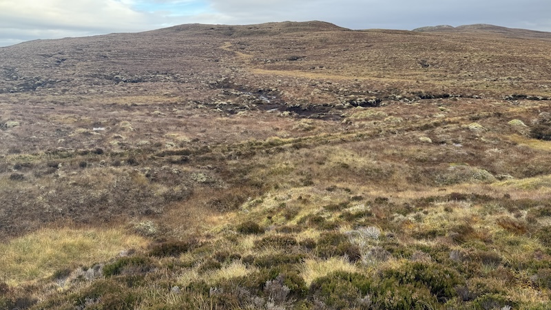
Return ride to Plodda car park
The ride back to the Plodda falls car park was a joy. There was very little ascent and it felt like a lovely, easy-going way to end a fairly short day out.
The attrataction of Plodda Falls
I also took the opportunity to visit impressive Plodda Falls, just 400m from the car park. A well-laid path leads downhill towards a wooden platform over a gorge. It offers a good but vertiginous viewpoint of the tumbling waterfall.
Route details: Carn a’ Chaochain
Total ride distance: 11km.
Total walk: 8km and almost 500m of ascent.
Routes:
Strava:
OS Map app :