
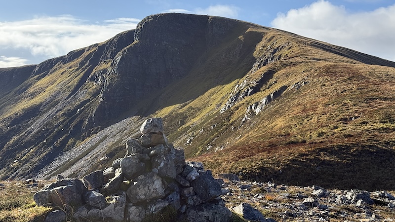
After a day of guiding on Ben Nevis as part of a team of four female MLs working for Girls on Hills, I craved a bit of solo time and the Corbett above Loch Eil looked very tempting.
The mountain can be easily seen in the west from Fort William and across the northern end of Loch Linnhe.
If you are interested, as I was, Loch Eil meets and feeds into Loch Linnhe at the northernmost point of Loch Linnhe, near the villages of Corpach and Caol just west of Fort William.
In any case, I needed to drive west of Fort William, along the A830 and along the length of Loch Eil, before heading south and then easy on the singletrack A861.
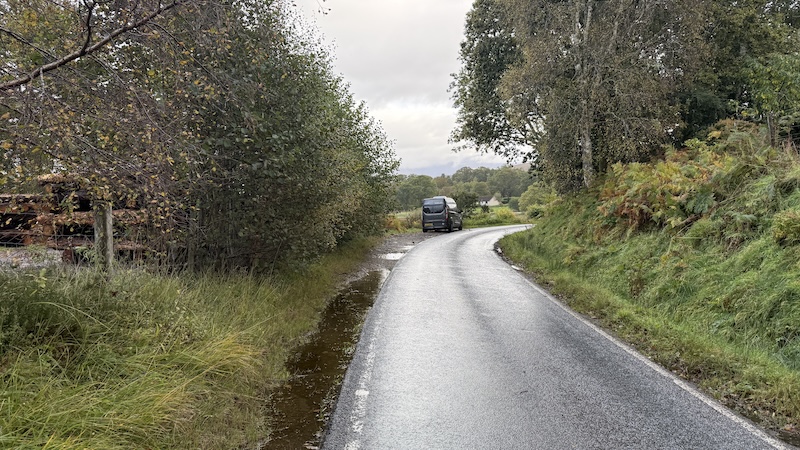
The walking route for Stob Coire a’ Chearcaill starts round two-thirds along the southern shore of Loch Eil. Be careful where you park, though, because the track at the start of the walk at the tiny settlement of Blathaich provides an entrance to an industrial outlet so it needs to be kept clear. There are a couple of signs to warn against parking here.
Instead, a small lay-by just 125m or so along the road to the east of the track and on the left hand side is a better place to park. See the start of my route on OS Maps.
It’s worth noting, too, that you need to be aware of the potential for stalking during season, from mid-August to mid-October, apart from on Sundays. Conaglen Estate should put up information signs at the parking areas at the entries to each glen.
For further information, you can email dmosgrove@broadlandproperties.co.uk or call 01855 841304 no later than 24-hours before planning to take access. I did both but got not reply so I assumed I would see a notice if there was stalking. I also didn’t see a notice, which meant I did have a slight anxiety during this walk but all turned out to be fine.
Start to summit: Stob Coire a’ Chearcaill
Having parked in the lay-by, I walked west along the roadside and then turned left and sharp left again to join a track that heads gently uphill in a southerly direction.
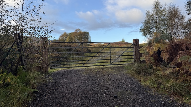
Early on, I passed a few scattered homes and then what looks like a car park for machinery before going through a metal gate.
All of a sudden, the landscape changed to open moorland and I relaxed into an enjoyable hike uphill. I often think about whether I prefer the ascent or the descent and I have decided its depends on the gradient and terrain. A fairy gentle uphill on a track can be very pleasant indeed.
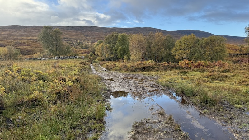
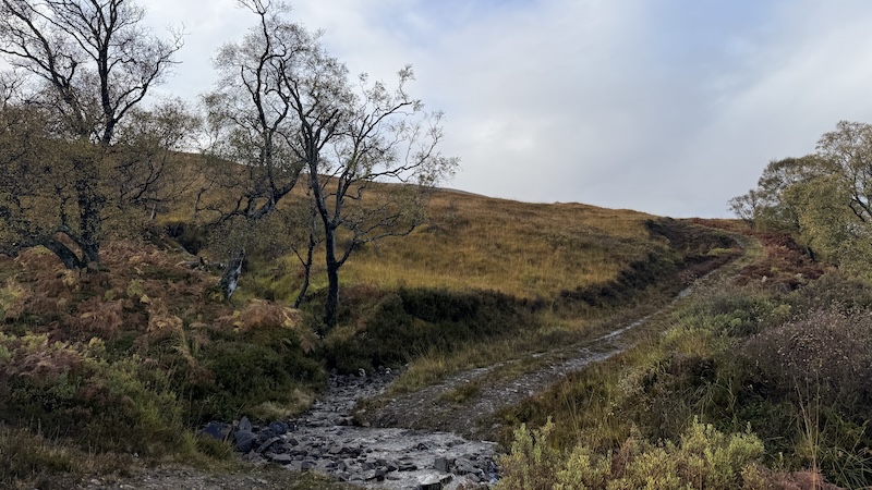
The track passes through some patches of native woodland and it was muddy in boggy in places early on. Higher up the slope, it steepens and I was grateful for numerous short zig-zags to lessen the gradient.
All the while, I could hear the sound of rushing water in the narrow burn to the side of the track. At regular intervals, the roaring bellow of red stags echoed eerily through the glen.
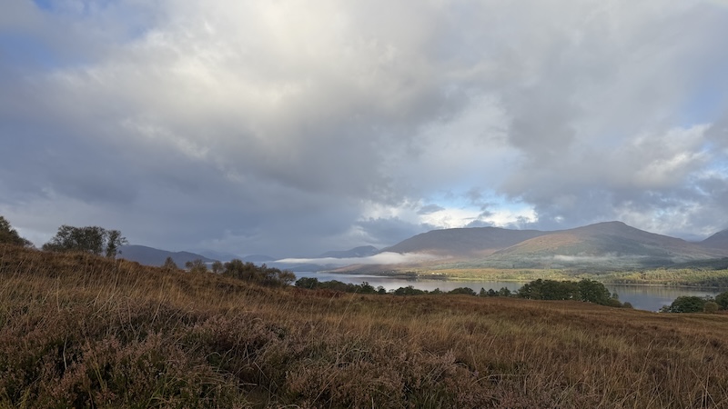
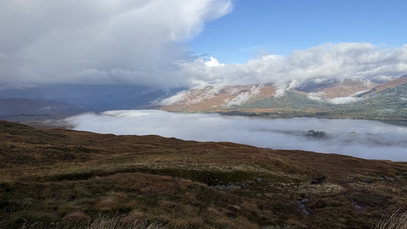
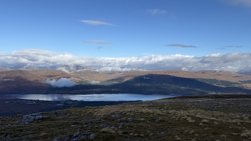
The autumnal scenery was also stunning and I looked down over Loch Eil, where banks of low cloud hung to add more drama.
It was also a warm day on the lower part of this walk and I found myself lulled into a fall sense of the seasons. I was even wondering if I should have worn my skort, rather than walking trousers, and if it was entirely necessary to bring all my layers and gloves in my pack.
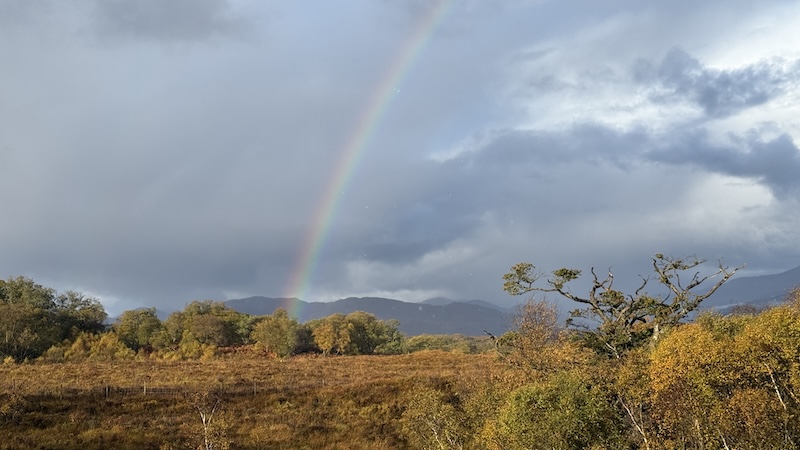
As it turned out, I was very relieved I had chosen trousers and all my winter kit because I faced several heavy downpours throughout the walk and, at higher elevation, there was a cold wind.
There is another gate, this time a wooden pedestrian gate, to pass through on the climb up the track.
At about 480m elevation, the track turned into rugged mountain slope and I could not see any kind of path heading in the right direction. (On the return, as I descended, I did find more bits and pieces of trod.)
On the map, I could see the summit of Stob Coire a’ Chearcaill was in a south-westerly direction and so I continued uphill on this trajectory. I could see a couple of small cairns in the general right directions too, and up ahead, on the first highest rise, there looked to be another cairn with a tall stick.
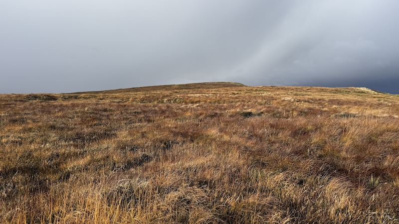
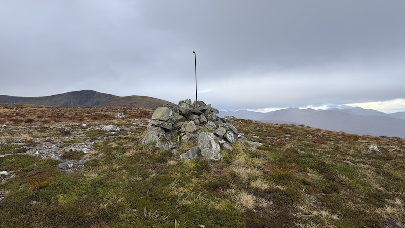
Thanks to clear visibility, it was easy to find my way over the rough vegetation to the first rise at 609m. Indeed, it was a stick in a cairn that I’d spotted.
I continued in the same direction, going downhill for a short while and then uphill again. There was a steep section as I left behind Braigh Bhlaich (detailed on the OS Map) and ascended to another high point of some 700m.
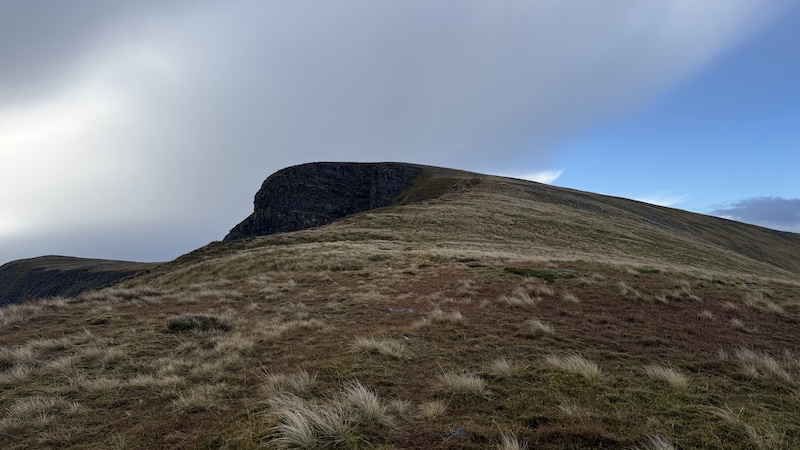
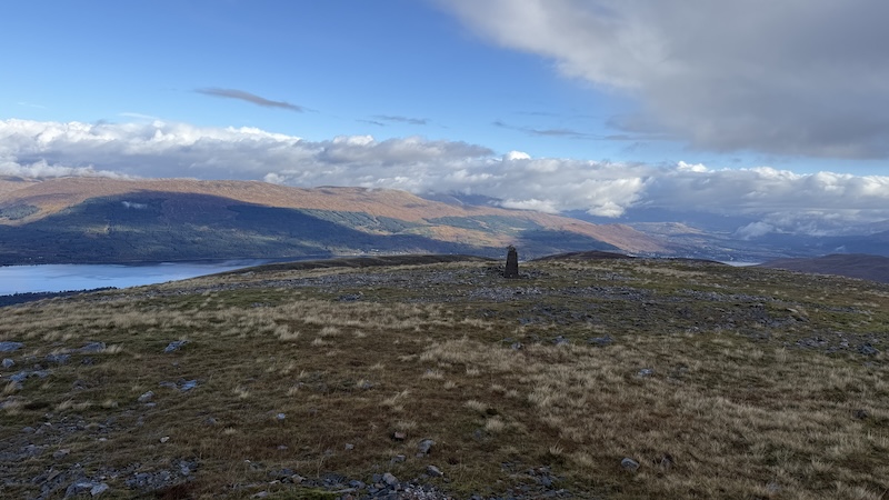
The eastern cliff face of the Corbett summit towered ahead of me and I could see a trig pillar high above.
Again, the gradient steepened as I crested the top edge of the cliffs. In poor visibility, care would be required but in clear conditions, I enjoyed looking down on the deep corrie below and to the east.
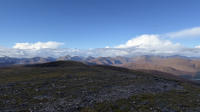
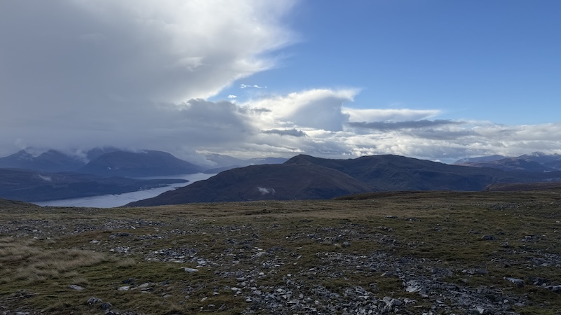
The summit area included the trig pillar and a large cairn marking 771m elevation. Both provided a superb viewpoint and I could see many Lochaber mountains in every direction, including Ben Nevis, where I had been the day before. As is so common for the UK’s tallest mountain, the summit was shrouded in cloud.
Summit and a return walk
After a sit down and a bite to eat thanks to the shelter of the large cairn, I headed back down the mountain the way I had ascended. While I do enjoy a walk that offers a circuit, an out-and-back can also be rewarding because you see different views in each direction.
By now, the rain had stopped, the sun was coming out and I had the wind behind me, so it felt much more clement. On the descent, I also found a few more trods to follow and I did wonder how I had not seen these on the ascent. No matter, because I largely took the same route.
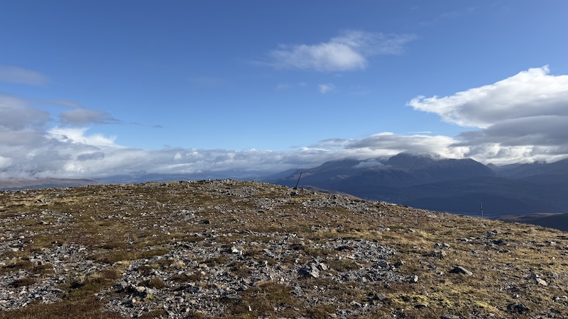
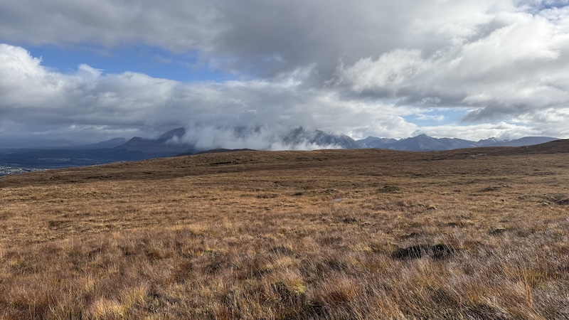
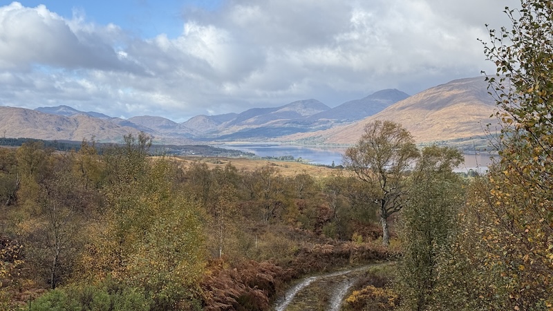
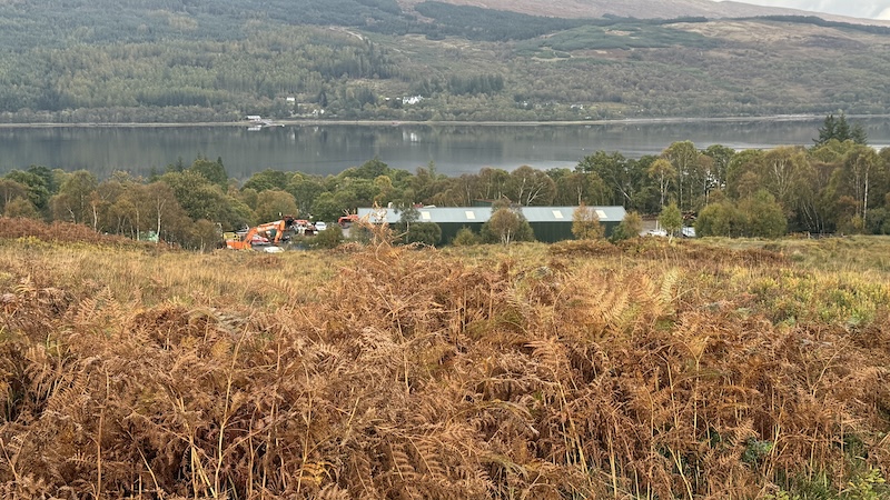
I greatly enjoyed the huge views over mountains and lochs as I walked and I reminded myself how lucky we are in Scotland to have such fantastic access to an amazing landscape.
It seemed to take much less time to cross the rugged terrain tha I had expected and suddenly I was back on the track and striding out downhill back to the start of the walk.
The total distance was close to 15km with just over 820m of total ascent. The Corbett is my 184th (out of 222).