
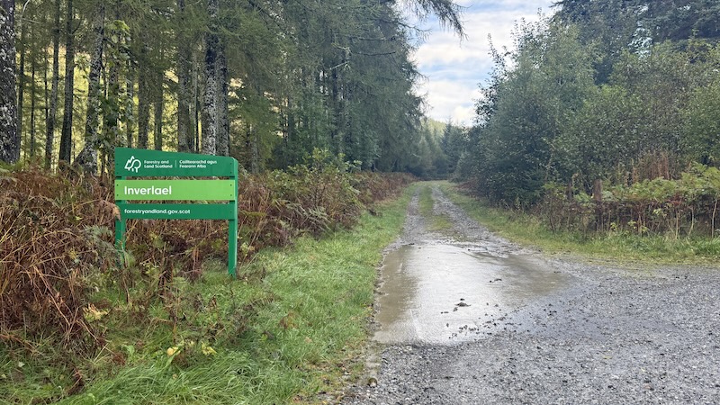
Keen to make the most of a good weather window but also knowing I had limited time, I chose the Fiona, Beinn Bhreac from Inverlael, near Ullapool, for a recent outing. Just an hour’s drive north-west from Inverness, Inverlael is located at the southern end of the long sea inlet of Loch Broom. It’s also the start point for the four Munros circuit including Beinn Dearg and Seana Bhràigh. It’s also where I began a cross-Scotland walk to Ardgay taking in the Corbett, Carn Ban.
Note, while the name given to this Fiona is Meall Dubh, that is actually the lower top of this hill and it’s Beinn Bhreac you are aiming for.
Start to summit of Beinn Bhreac
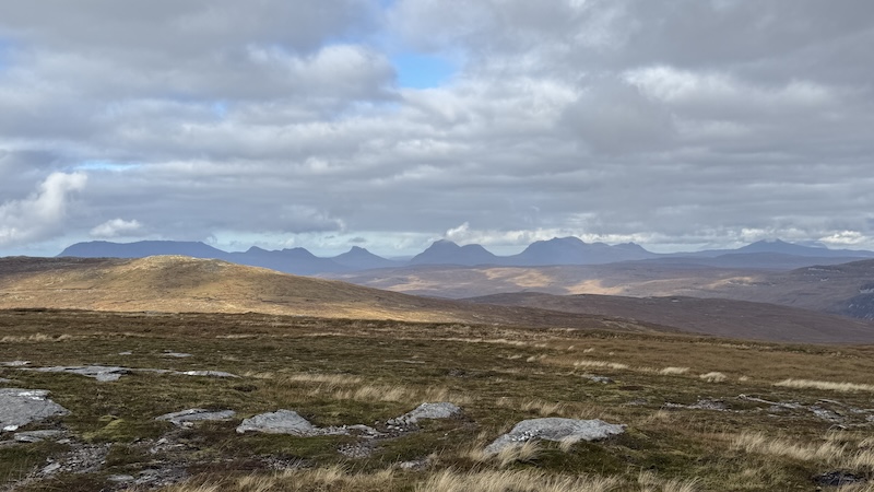
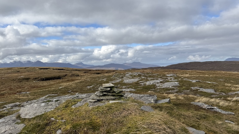
While a fairly rounded and undistinguished mountain rising to the east of Loch Broom, Beinn Bhreac offers superb views all around. From the summit, on a good weather day, there are wide vistas, including the Beinn Dearg mountains, north to the Assynt mountains, such as Canisp, Stac Pollaidh, Cul Mor, Suilven and more. I also spotted the Summer Isles at the head of Loch Broom.
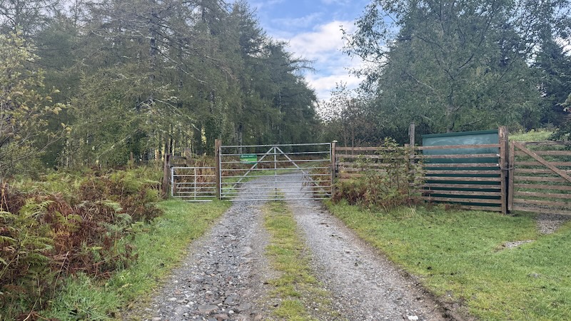
There is a walker’s car park at Inverlael, although I had to park on a verge on the track leading to the car park because my van is too tall for the (low) barrier. I walked through the walkers’ gate where there are warnings of livestock in the field. I didn’t see any cattle, but it would might be different in the spring and summer.
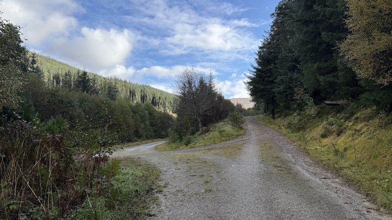
In any case, there is a wide track all the way through the field, heading east for Inverlael forest. You need to pay attention to the network of trails in the forest and, at the first junction, I took the left track. Going straight on takes you to the Munros. I then turned left again over a bridge across the river and swing right to stay on a track to the north side of the river.
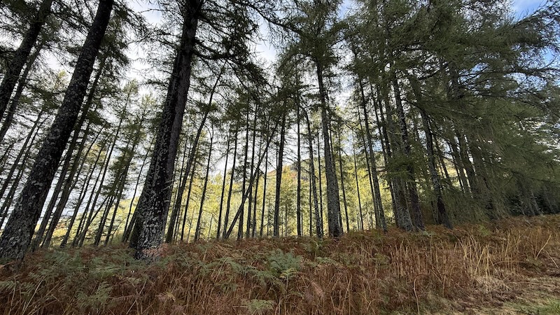
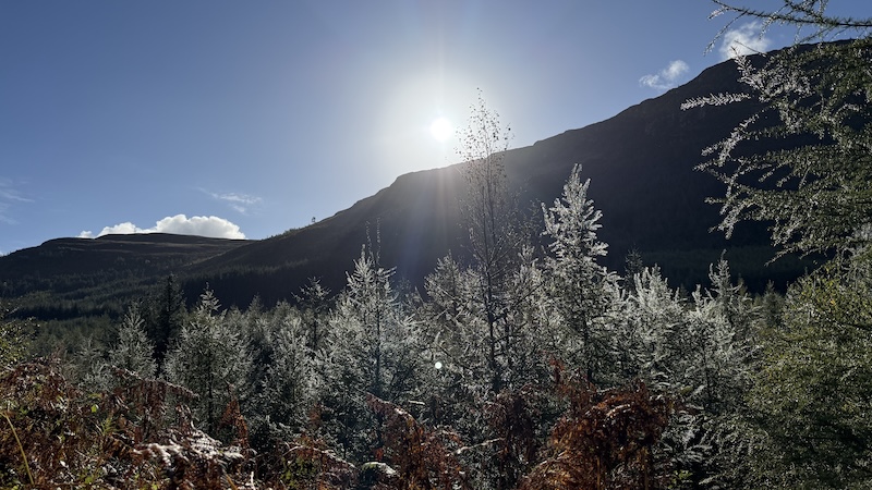
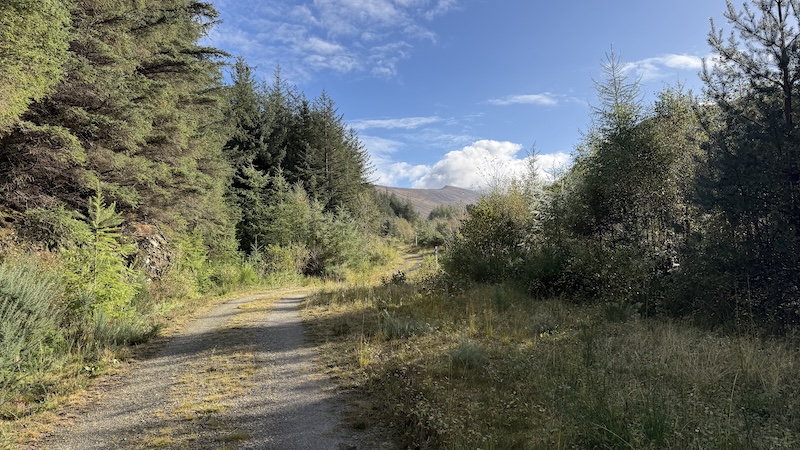
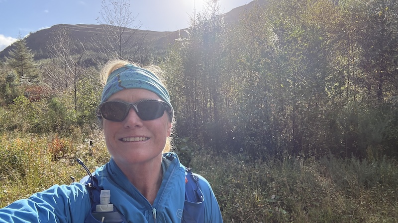
I stayed close to the river, ascending fairly gently. I actually walked a little too far and on to a muddier track and then had to walk back on myself to rejoin the main track. (See my wee error on the outward route just over 2km into the walk.)
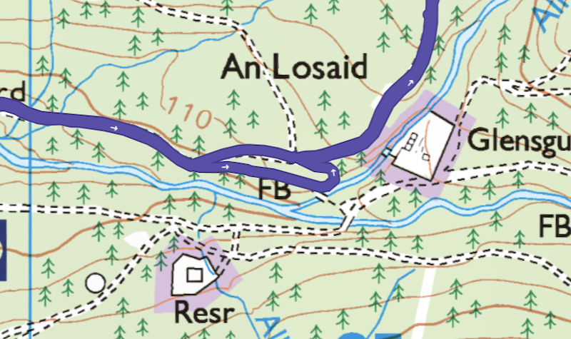
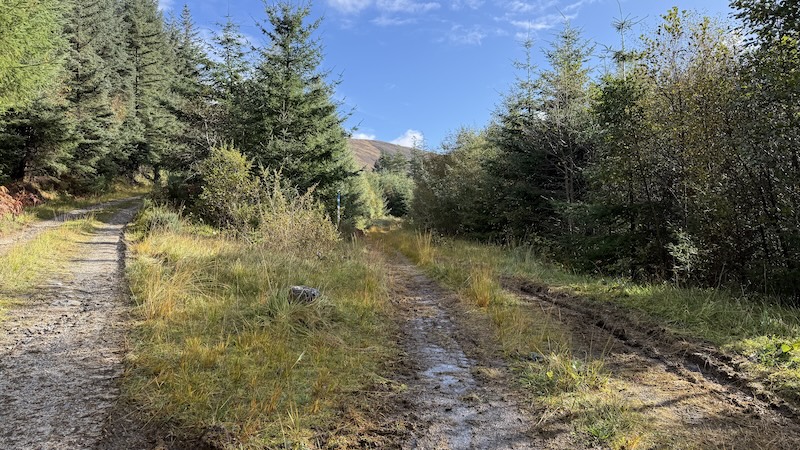
I noticed on the way back downhill that it’s probably best to stay on the track that has white and blue poles with the words “HWE Hydro: Pipe below” either side.
I knew I was aiming for a steep path uphill through the forest and discovered it is marked by a small pile of stones at the track side. It’s not easy to see unless you are really focusing but keep an eye on Grid ref: 206855 (ish).
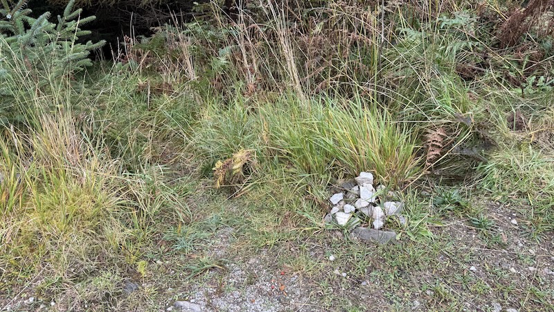
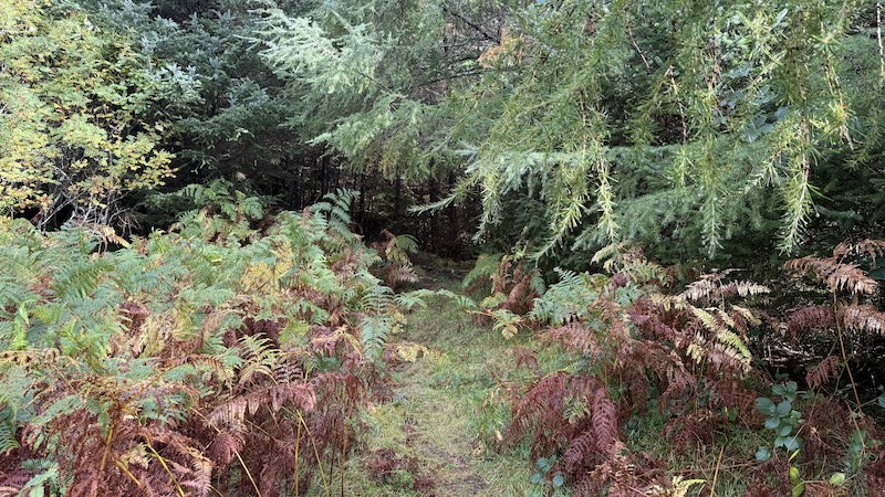
After the wide and gently ascending track, the muddy forest path seems very steep but it winds uphill in zig-zags and is not really too arduous. There is a gap in the forest where another wide track crosses left to right (west to east), which I crossed over and headed on to a forest path again.
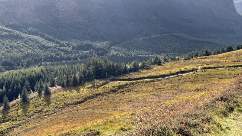
Once out of the forest, the moorland feels suddenly open and the views subsequently widen. I continued on the track for a while and passed through a wooden gate next other a wide metal gate.
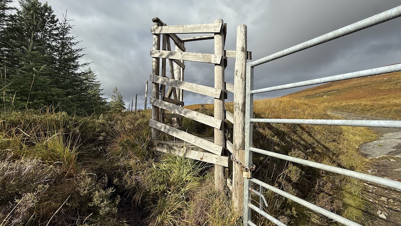
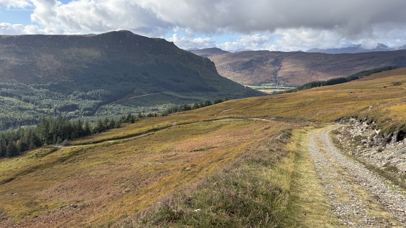
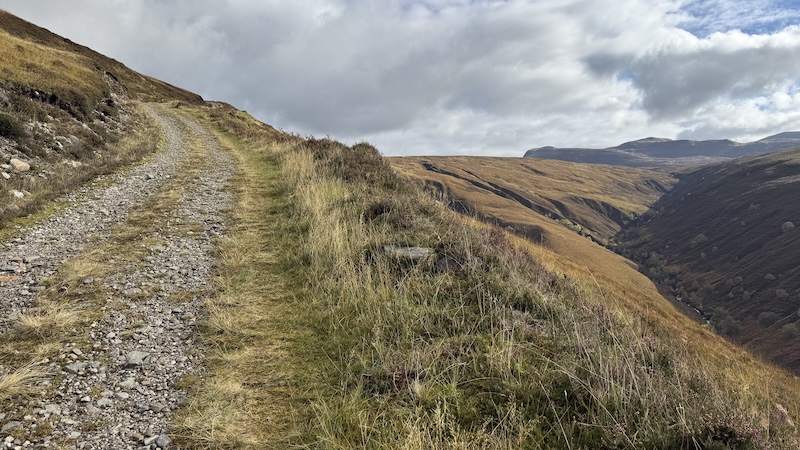
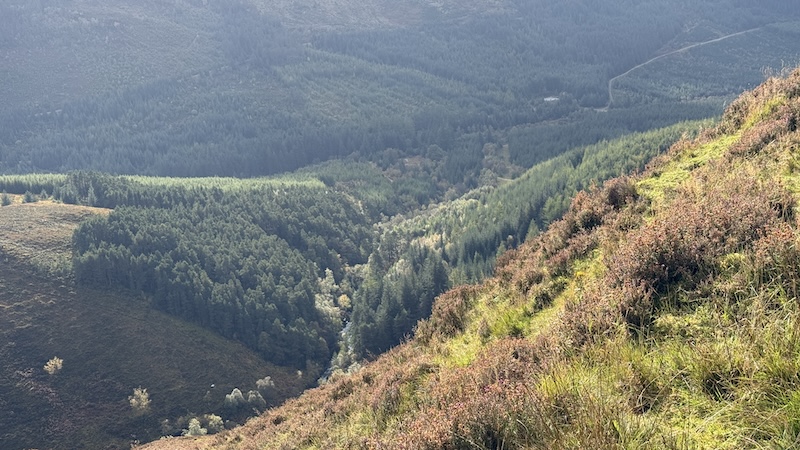
The track heads uphill and in a north-westerly direction. The views to the tight of a stunning wooded gorge are breathtaking. I could see a waterfall and hear water rushing far below me.
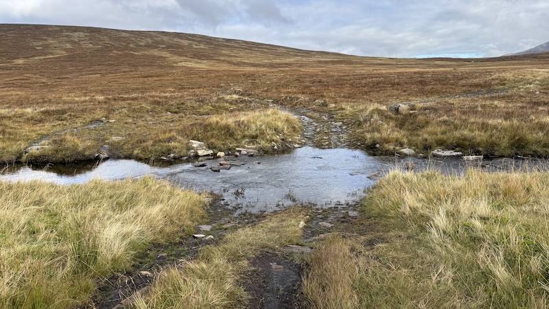
After about 1.5km, I reached a ford in a river. I was able to keep my feet dry by stepping on stones across the narrow waterway.
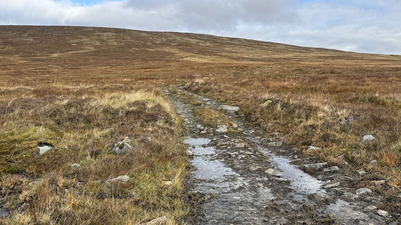
On the outward journey, I followed the track for a little further before then peeling off north and on to rough and boggy hillside. The rest of the walk to the summit is rugged and wet. The vegetation was not too deep because it was autumn when I did the walk. However, it is boggy and, at higher altitude, there is an area of small peat hags to navigate.
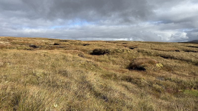
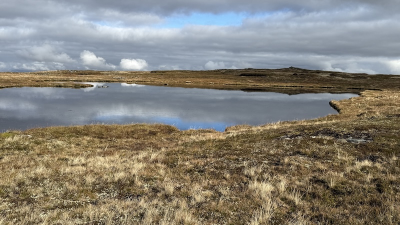
Near and far, I could hear the eerie bellows of the red deer stags. It was rutting season as I did this walk.
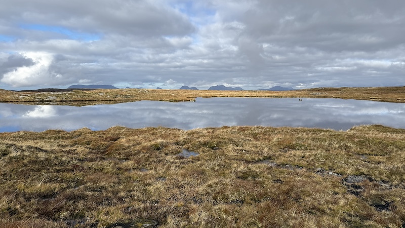
After a fairly steep climb of around a kilometre, I crested a contour at about 650m and spotted a beautiful high lochan. From the southern shore, I could see the summit cairn to the north and I simply walked around the south-eastern edge of the water.
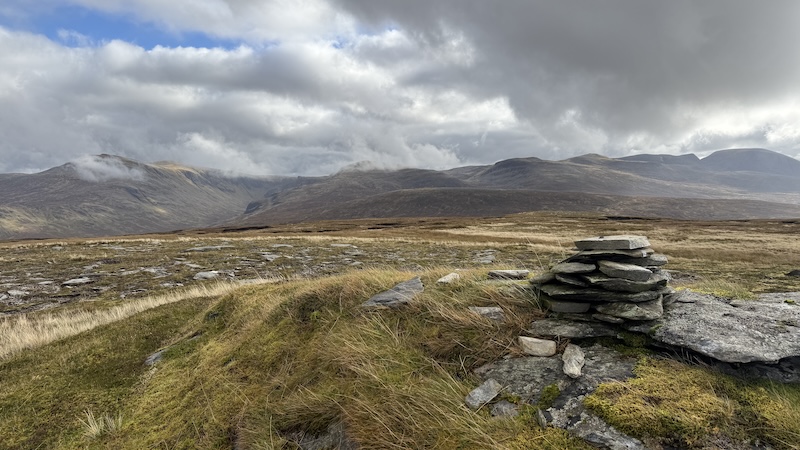
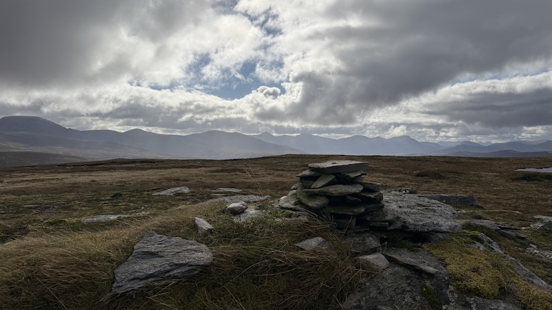
The summit is at 667m elevation. On an amazingly calm day for the season, I was able to sit at the top for a while to enjoy my sandwiches. The sun was coming and going but most of the high mountain tops were still below the clouds. The views form this Fiona are magnificent in all directions.
Beinn Bhreac: Summit to finish
I pretty much retraced my footsteps although I found myself drawn to the views out west and on to an ATV track at the start of the walk downhill. It was a lesson to myself to remember to plot the right bearing as I headed off the summit.
It didn’t matter in the end and I was treated to great views of the Assynt mountains and Loch Broom. After leaving the ATV track to wind further west, I walked downhill and to the south to reach the ford at the river once gain.
Once back on the track, I started to jog downhill and it seemed like no time before I was back at the gate next tot the top of the forest and then down through the forest on the muddy and rooty path, to the lower and flatter tracks.
I passed three people as I approached the final section of track back to the car park. They looked to be dog walkers out for a short walk. They were the only people I’d sighseented during the entire 15km outing.
Details: Wester Ross Fiona, Beinn Bhreac
Distance: 15km
Total ascent: 669m