
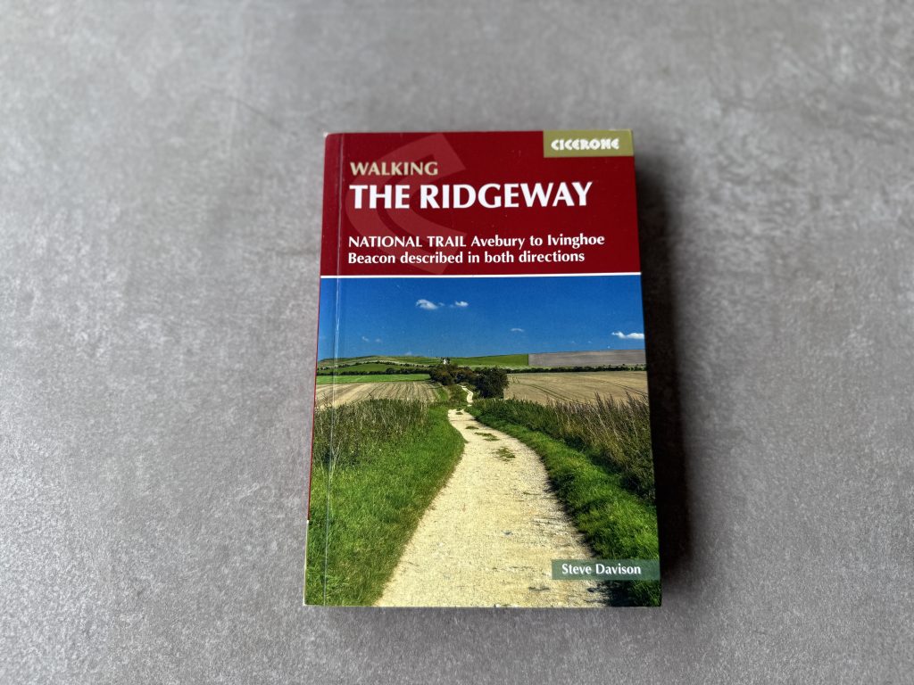
The new Cicerone guidebook details a route that is claimed to be Britain’s oldest road. The Ridgeway National Trail journeys 139km (86 miles) from Avebury in Wiltshire to Ivinghoe Beacon in Buckinghamshire. The way-marked trail heads along chalk ridges and open downs, passing Neolithic burial mounds, Iron Age hill forts and with sweeping viewpoints across the North Wessex Downs and the Chilterns.
The book details the trail in both directions and is accompanied by a pull-out 1:25K trail map booklet.
Details: The Ridgeway National Trail guide book
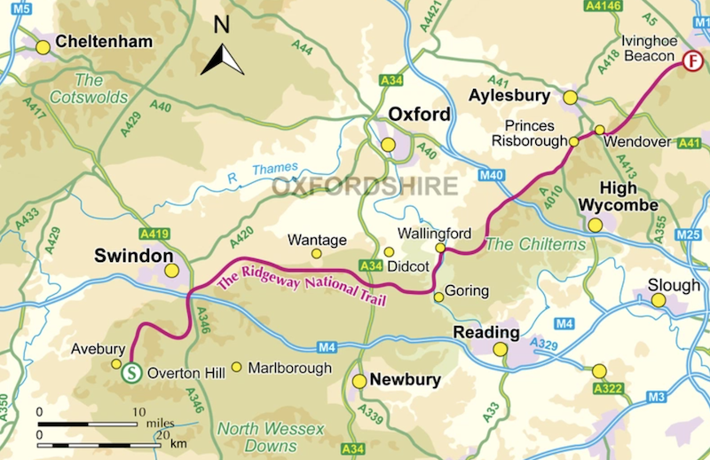
The Ridgeway National Trail travels from Avebury in Wiltshire to Ivinghoe Beacon in Buckinghamshire.
Distance: 139km / 86 miles
Duration: Typically 6 to 9 days, with options to extend or shorten stages.
Stages: 12 stages of 8km to 16km (5 to 10 miles), described in both directions.
Difficulty: Easy to moderate, low-level walking on well-waymarked tracks and paths.
Highest point: Never exceeds 300m, following the crest of chalk downs.
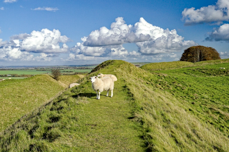
Landscapes: North Wessex Downs and the Chilterns, with open ridges, woodlands and panoramic viewpoints.
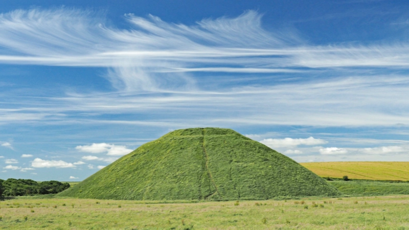
Heritage: Prehistoric monuments, Neolithic burial mounds and Iron Age hill forts along the route.
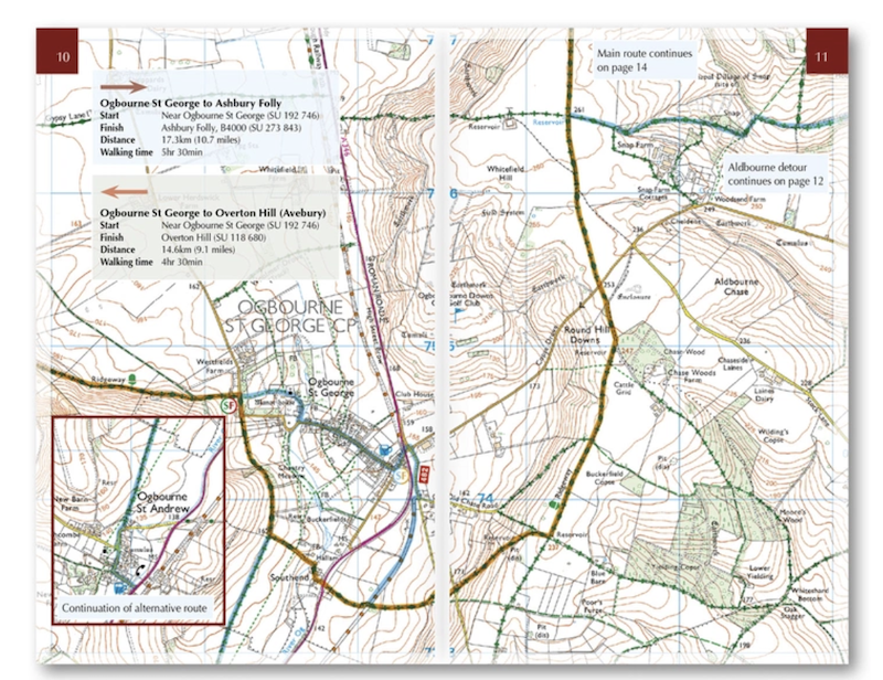
Mapping: 1:50,000 OS maps in the guidebook, plus a separate 1:25,000 OS mapping booklet.
Navigation: GPX files available to download for digital navigation
See Cicerone to buy the book £18.95 and ebook also for £18.95.
The author: Steve Davison
Steve is a writer and photographer who has authored a number of books, including several guidebooks published by Cicerone. He has also written articles for a range of outdoor magazines and other publications.
A keen hill walker for most of his life, with interests in nature, geology and the countryside, Steve is a qualified Mountain Leader and has also previously worked as a part-time outdoor education instructor. He is a member of the Outdoor Writers and Photographers Guild.
My thoughts: Cicerone’s The Ridgeway National Trail guidebook
While I have visited this area of England to see friends and family many times, I was not aware of the Ridgeway National Trail. The guidebook tells me this is, in fact, Britain’s oldest road, dating back some 5000 years.
Today, walkers can complete the way marked trail from from Wiltshire to Buckinghamshire over 139km (86 miles).
The route can be walked in 12 stages of 8km to 16km, so you can dip in and out if you live locally, or walk the whole route over six to nine days. It looks like it would make for a relaxed week of daily walking.
This is a flatter part of England, with mostly low-level tracks and paths. The trail rarely rises to more than 300m.
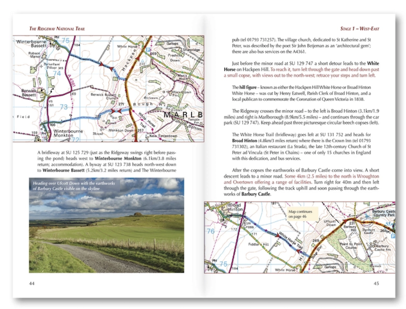
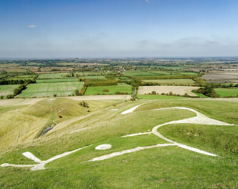
There is plenty see and do along the way. Looking at the photos in the book, the landscapes looked varied and there is plenty of historical interest, including prehistoric and historic sites such as Uffington White Horse and Wayland’s Smithy.
The book also offers plenty of information about accommodation and places to eat and drink, as well as public transport detail for each stage to help people to plan flexible start and finish points.
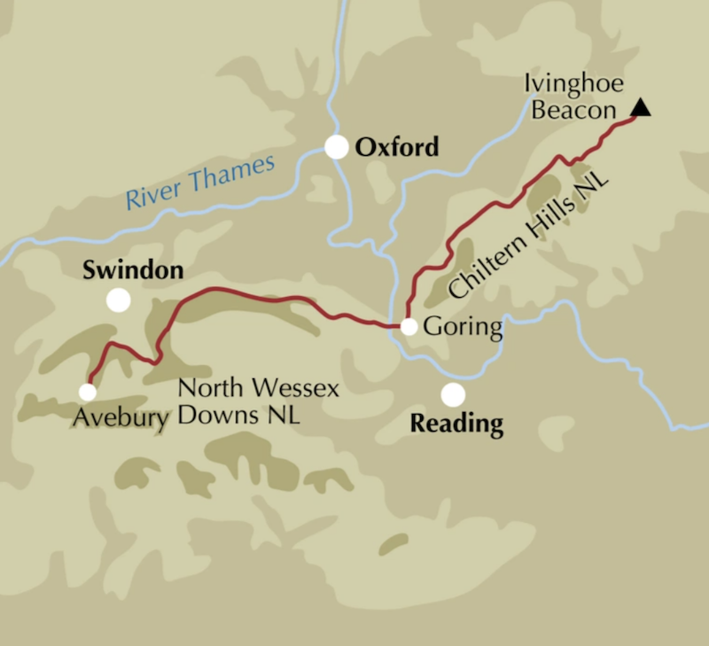
The mapping in the book and the additional separate pull-out 1:25,000 OS mapping booklet, plus GPX navigation downloads, makes the route seem very clear. Additionally, there is good way marking on the actual trail.
I also like the route summary table and facilities planner that allows for quick referencing for daily distances, services and logistical details along the Ridgeway National Trail.
The route appears to be one suitable to all levels of fitness and a good one to choose for people new tomorrow multi-day walking trips.
Cicerone publish excellent, highly comprehensive and trusted walking guidebooks.
Also read my review of Cicerone’s The Two Moors Way and Cicerone’s Best Walks in the Lake District: 50 Great Mountain Days.