
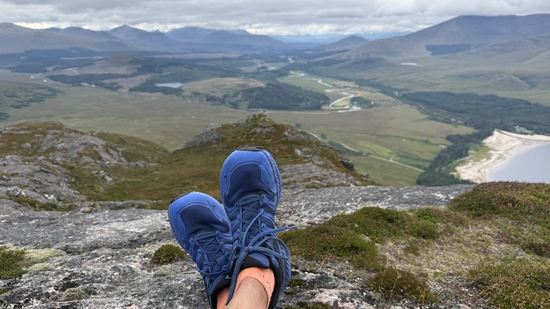
The two summits of Binnein Shios and Binnein Shuas sit to the south-east of Loch Laggan on the A86 between Spean Bridge and Newtonmore. Although distinct and prominent, the peaks rise to a height of less than 750m and they are most often over-looked by walkers for several higher and better-known Munros, Beinn a’Chlachair, Geal Charn and Creag Pitridh. Across the A86 are the Creag Meagaidh Munros and Munro Tops, too, which also attract many walkers.
Suffice to say, my friend Ben and I met not a single other person when hiking these two Fionas despite the layby at the start being filled with cars.
Another point to note about this area is that the lochan on the other side of the hills is the focus of the Earba project, which is a proposed pumped storage hydro (PSH) scheme and could see the flooding of parts of the loch. It could be that the landscape changes quite dramatically if the project goes ahead.
Start to Binnein Shios
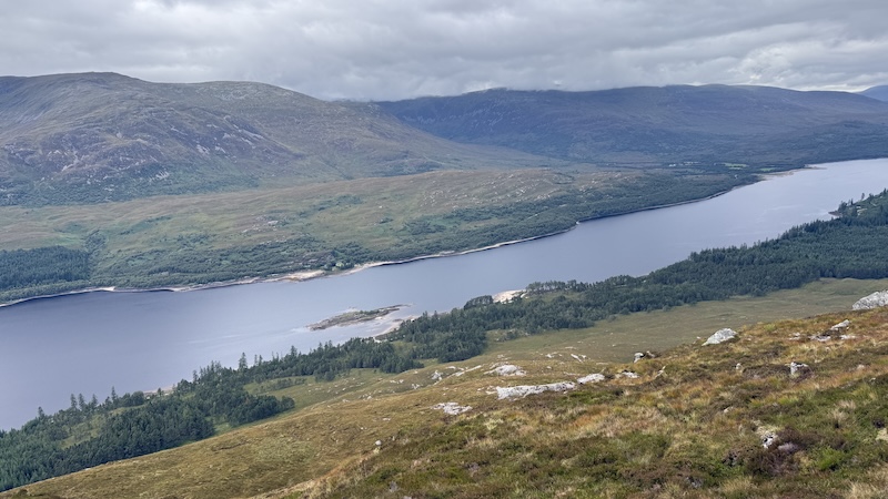
Ben and I had planned our own routes of Binnein Shios and Binnein Shuas but when we compared them they were broadly similar. We decided to walk from the A86, east along a wide track on the south-western shore of Loch Laggan before cutting up through an area of woodland towards Shios.
We used a small island in the loch as our guide. Once opposite the isle on the track we looked around for a trod of some kind to aid the ascent of the rough woodland, but we couldn’t see one.
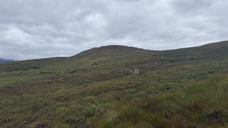
We simply walked off the track and began the climb on thick, tussocky vegetation. In some areas it was worse than others but after 10 to 15 minutes we walked on to a blanket of slightly shallower and less dense vegetation.
I am not going to tell you there was ever a path on this route but we did occasionally spot some flattened vegetation and the odd boot mark, which led us to believe other people had recently walked in the same place.
There were, however, plenty of animal trods and while these were helpful to follow for short stretches they usually ended up going in the wrong direction or back downhill.
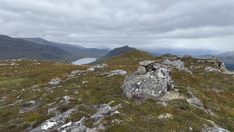
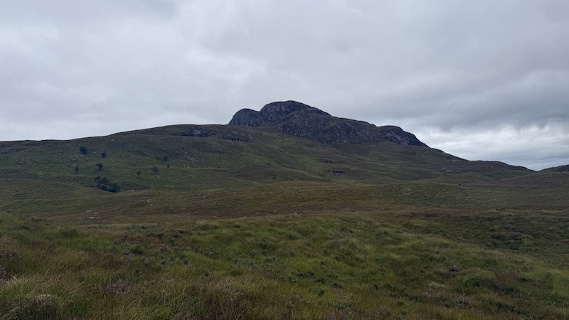
As we ascended we looked across to the gentler, grassy slopes of Binnein Shios – and then also across to the neighbouring rocky slopes of Binnein Shuas. The only part of the walk that we were not too sure about was how to penetrate the craggy surrounds of Shuas summit and we thought that, while looking from afar, we could see a possible route. But more of that later…
Having ascended in a generally easterly direction, at around 450m we veered more north-easterly and headed uphill towards what we thought might be the summit of Shios. That summit proved to be rather elusive though and after checking the map again, we could see we had a few false tops to claim and some 1.5km of walking to reach the true summit at 667m.
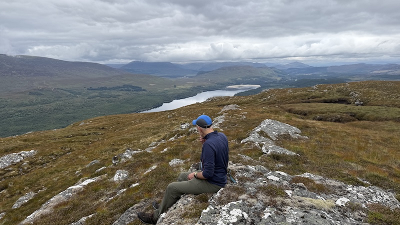
We were in no rush though and the terrain was pleasant enough with shorter grass and vegetation for most of the way. The views were also well worth the hike and ben and I always have plenty to chat about so we enjoyed the warm, still air and felt pleased with our choice of hills because most of the nearby Munro summits were shrouded in cloud.
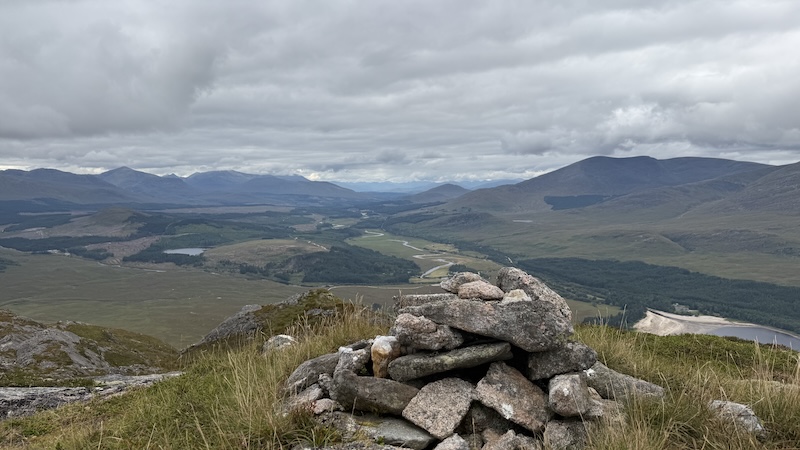
A small cairn marks the highest point on Binnein Shios and we stopped to enjoy a sandwich.
Binnein Shios to Binnein Shuas
We retraced out steps downhill and towards Binnein Shuas. We needed to descend to around 380m between the hills and then ascend again, returning once again to ticker, tussocky ground. We reflected on how much easier it is to walk many of the Munros with their well-defined paths but we were very happy to be on two hills that were much less walked and, therefore, without the Munro busyness.
There are days when I enjoy the socialising of busy mountains and other days when I relish being in solitude.
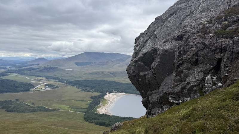
As we approach the craggy sides of Binnein Shuas, we decided to head right up a grassy flank and then see what the crags threw up. The OS map doesn’t offer full rocky detail and we simply needed to navigate and negotiate the rocks on the ground.
Having chosen the right-hand flank, and ascended, we then skirted around the base of another steep rise in the rocks. It was difficult to be sure of an easier line and we walked a bit further on before then ascending again. There was nothing too scrambly or daunting about our progress but we did weave and zig-zag quite a bit to gain the north-eastern side of Shuas summit.
Once past the steeper crags, we progressed on easier but still rocky ground in a south-westerly direction towards the 747m top. The cairn on the summit was not visible until we were almost upon it.
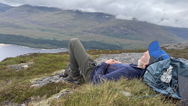
We took some time to enjoy a rest and a bite to eat. The views were beautiful, over mountains and lochs, as well as a long, ribboning river to the south.
Descent from Binnein Shuas
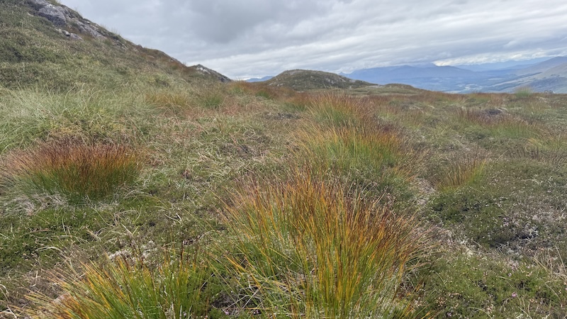
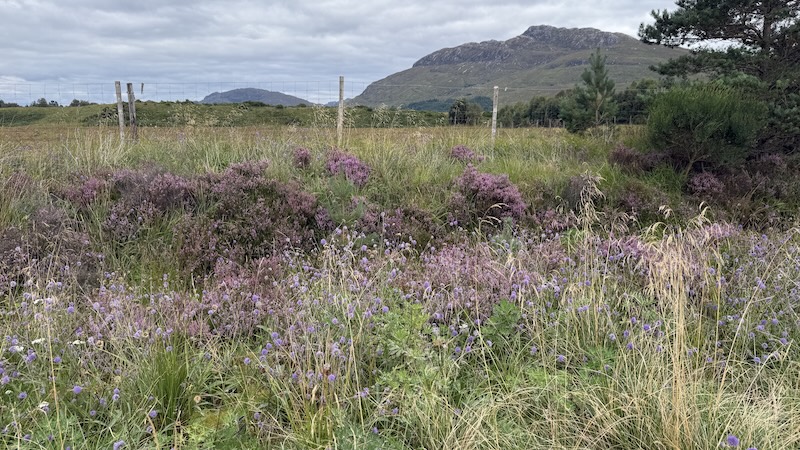
Ben and I simply headed downhill in the general direction of an area of woodlands and the track we had started on earlier in the day. There was no trod, nor path, to follow and the ground became quite thick again, with grass, tussocks and heather.
As we closed in on the woodland, we could see a high deer fence and we needed to decide whether we would veer right or left around the fence. We decided to head to the left and further west. From here, it was straightforward enough to reclaim the wide track.
After many, many kilometres of fairly tough hiking, we were both relieved to find ourselves back on an easy-going and flat track. The final kilometre took us back to the road and then to the layby where we had both parked.
Overall, this is a great route with good views although on typically rough and rugged ground that I have come to expect when walking the Fionas. The chances are it would be easier in spring/early summer or autumn when the vegetation is not quite so advanced. However, it might also prove to be a lot boggier if the weather is wet.
Details: Binnein Shios and Binnein Shuas, Loch Laggan
Distance: 18.5km
Total elevation: 900m
Our route: OS maps and Strava
Also see Steven Fallon’s website for an alternative route.