
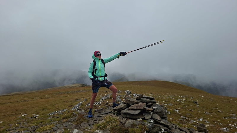
The weather in Scotland is notoriously fickle and on one day, several forecasts can give varying results. Looking at Sunday’s forecast for Wester Ross, I read 60 per cent chance of rain on one forecast; fog and high chance of drizzle on another report; and mixed spells of rain and sunshine on another. Thankfully, all the reports suggested the wind strength would be low and temperatures would be relatively warm for September in the Scottish mountains. So, along with my friends Alice and Susanna, we decided to take a chance on a day of walking to reach the mountains of Moruisg and Sgurr nan Ceannaichean in Glen Carron.
We also had two plans: Plan A was to bag both summits, while plan B was to aim for the summit of Moruisg only and then turn around for a shorter walk if the weather was poor.
Walk to Moruisg summit
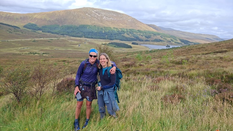
This route is well known for being steep, as well as for being on wet and boggy ground. Moruisg translates as “the big water” and, certainly, you’ll find it to be water-logged on many sections, apart from after perhaps a very dry spell of weather.
The highest point is at 928m elevation and the start point, at a lay-by on the A890 between Craig and Achnasheen, is at a height of around 150m. After a short downhill and flatter section along the glen base, crossing a river on a wooden bridge and walking under a railway line via an underpass, the route then heads straight uphill.
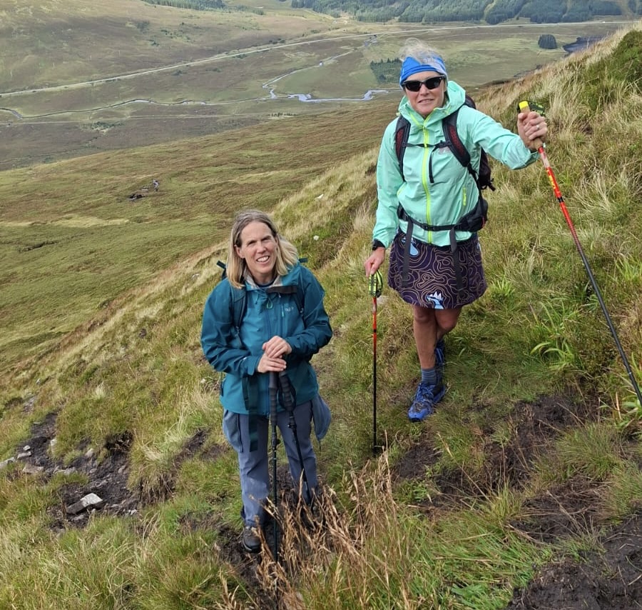
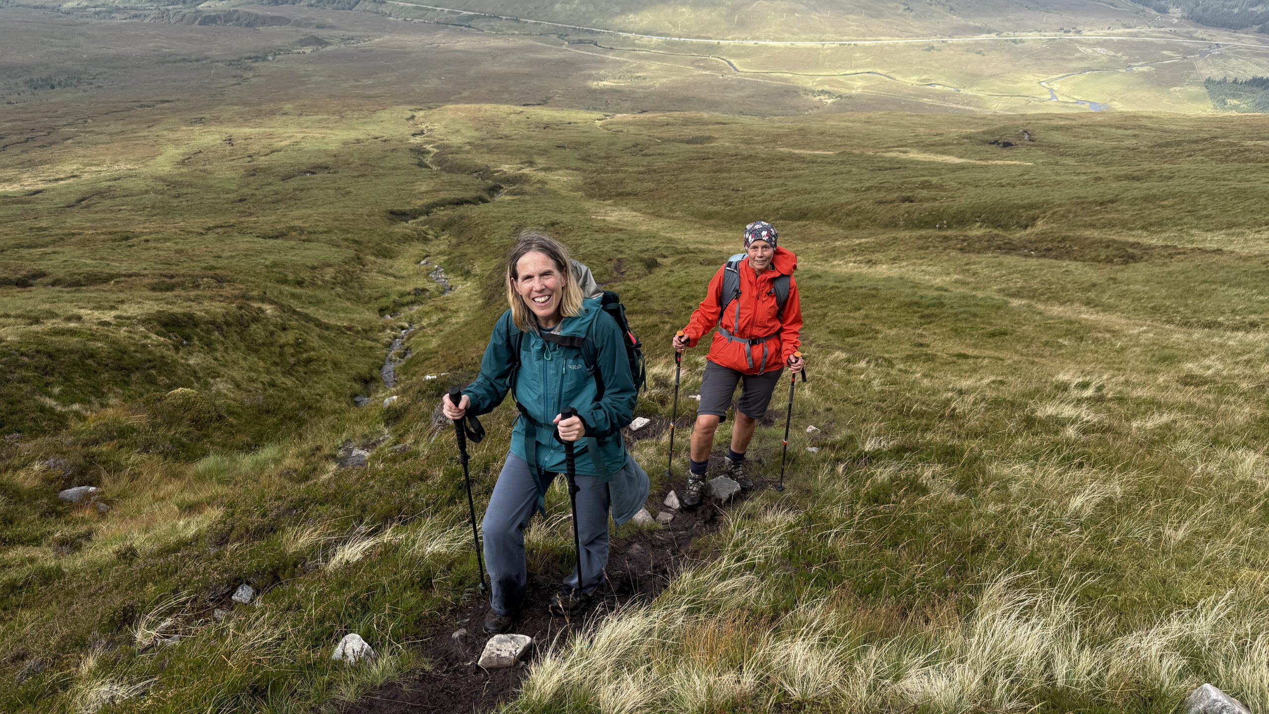
The higher we climbed, the steeper the mountain became until close to the top of the ridge, where the gradient eased. The entire route was on an obvious path, or trod, so there was little requirement for navigation at this point.
Even at its steepest, the mountain side did not pose too many issues. In fact, although it was constantly uphill for 2km or so, it was enjoyable thanks to ever-expanding views, plus lots of great chat.
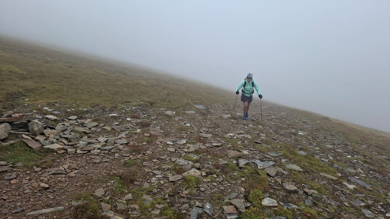
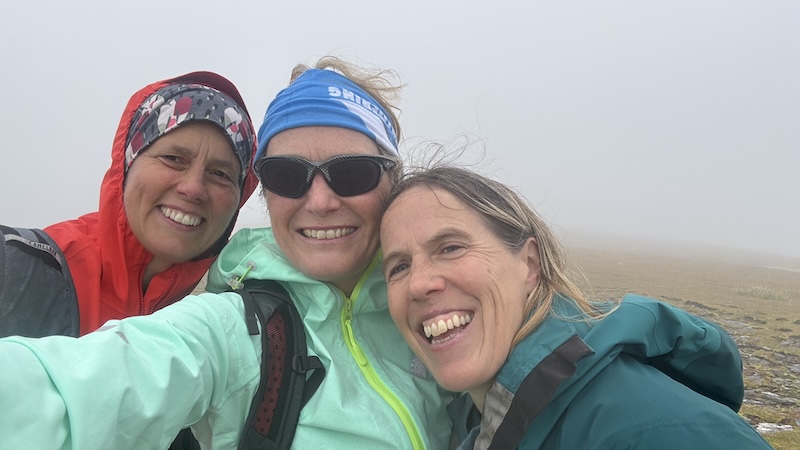
Sadly, we could see that the summit was shrouded in mist and, from around 650m elevation, it started to drizzle, but we had all the necessary wet weather kit with us and we had already decided we would continue to the top.
We met a couple of women who were descending after completing the two summit route in the opposite direction. They had decided to bag the Corbett and then the Munro and they told us they had enjoyed clear views.
Coincidentally, I had met them five days earlier as I descended Ben Macdui and a Munro Top. It’s a small world!
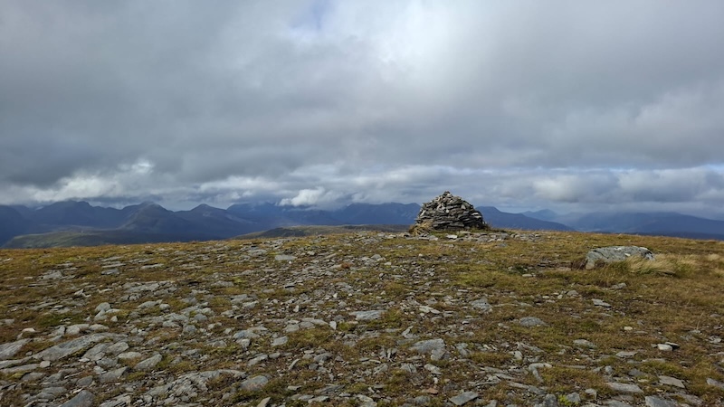
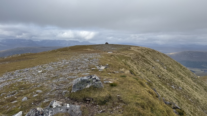
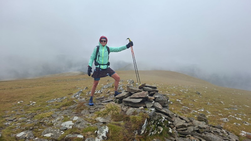
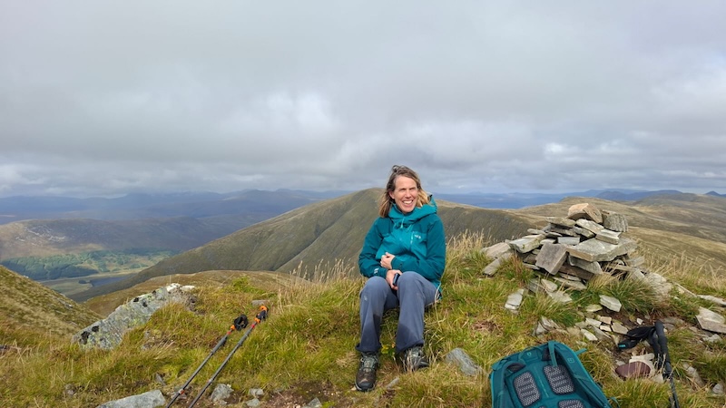
At the top of the slope, at the most northerly part of the Moruisg ridge, there is a large cairn. It would be easy to think that this was the marker cairn for Moruisg summit, especially in poor visibility, but it’s not! To reach the true summit, we needed to walk south past another smaller pile of stones to reach another cairn, which is the true summit.
Susanna, Alice and I were in thick cloud at this point on the ridge and we asked each other whether it was worth walking on.
Our consensus was that a ridge walk to reach Sgurr nan Ceannaichean, further south, would only be worth it if we could actually see where we were going.
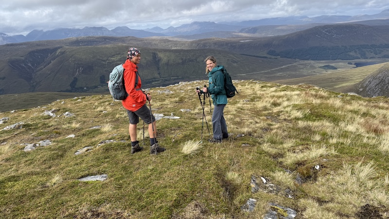
Suddenly, as if our questioning was being answered by the weather gods, the cloud started to lift and stunning views of the ridge, the Corbett further on and the wider mountains of Wester Ross were revealed in all their glory.
From the ridge, we could also make out the peaks of Torridon rising behind the Coulin Forest.
We didn’t hesitate after the clouds parted – and we continued with Plan A.
Moruisg to Sgurr nan Ceannaichean
Until September 2009, Sgùrr nan Ceannaichean was listed as a Munro. It became a Corbett after being surveyed by The Munro Society, which concluded its true height is 913.43m, falling just short of the 914.4m (3000ft) requirement for Munro status.
No matter what its height, completing a circuit of Moruisg and Sgurr nan Ceannaichean, rather than the Munro only, provides a more interesting and scenic walk in my opinion.
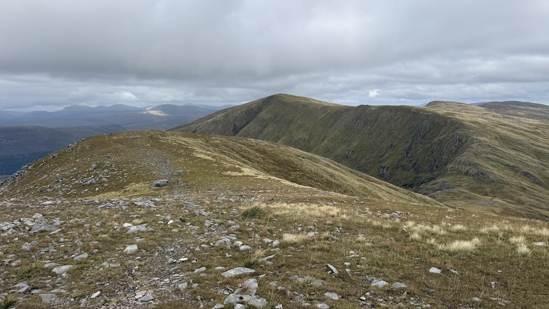
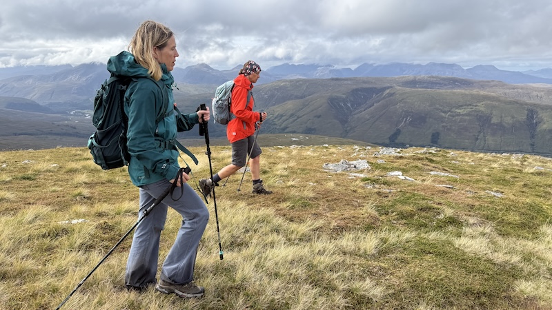
The broad ridge continued south, then curved south-west with the crags of Coire Toll nam Bian dropping steeply at the western edge. Meanwhile, the other side of the ridge was far more rounded and fell gently to the east.
For the most part, we followed a path, which snaked along the ridge and then curved further south-west and downwards to a bealach. We dipped to around 725m elevation before ascending once again and in a more directly westerly direction. At around 850m elevation, we climbed more steeply south to reach a large cairn on a small plateau on Sgùrr nan Ceannaichean.
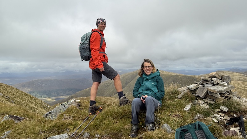
Again, this was not the true summit. Instead a smaller cairn a little way further south marked the highest point of the mountain.
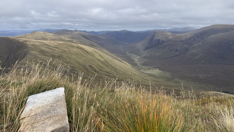
The location is very dramatic with a steep drop off to the east, and overlooking Gleann Fhiodhaig. Susanna spotted a lodge building far below us – it turned out to be the remote hunting lodge of Glenuaig – and we could see a long river ribboning through the glen.
We spent some time trying to identify various mountain outlines in the distance and vowed to check the map later to clarify some of the peaks and summits.
Descent from Sgurr nan Ceannaichean
After a short stop for photos and food, we retraced our steps back to the larger cairn and then down the northern shoulder. Back at around 850m elevation, we came to a junction in the path. To the right was the way we had ascended from the bealach, but our route was left.
A man was ascending, seemingly quite late in the afternoon. Stopping to chat, we discovered he had walked the Corbett Beinn Damh in Torridon earlier and had his sights set on his second Corbett of the day. He also told us how many Corbetts he had bagged in an impressively short time. I enjoy a bit of bagging banter and chat in the hills!
Alice, Susanna and I said goodbye and continued north, down a shoulder and following a trod through grass until this seemed to disappear. The route over and down a rocky bluff, named Creag a’Chait, became unclear so we had to pick our way carefully down a short but very steep grass-and-gravel descent.
Looking up a bit later on, it appeared that veering more to the left of the crags might have offered a slightly gentler descent route.
We then crossed a narrow burn, Alltan na Feola, on rocks before picking up another trod heading downstream on the north-western bank of the stream.
It’s a soggy path with plenty of mud and bog but, by this point in the walk, we were all choosing to walk through the wet and mud rather than attempting to go more laboriously around it.
Fortunately, this long path, by the side of the burn, is quite picturesque with clear, rushing water and small waterfalls. The area has also benefitted from some rewilding with many native trees sprouting up.
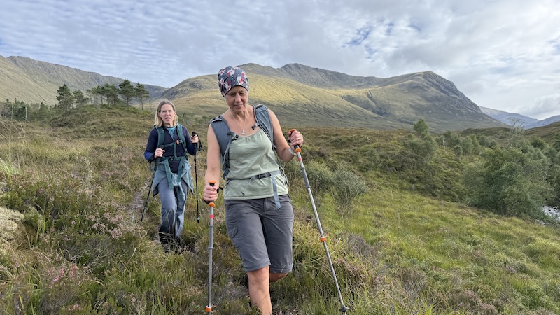
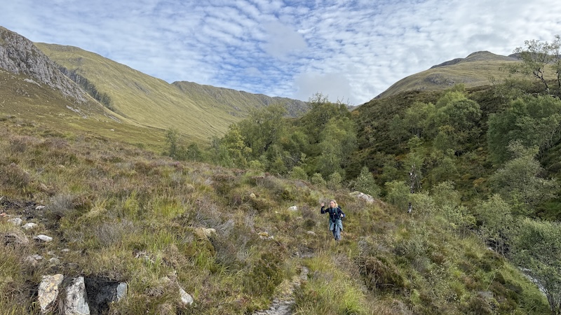
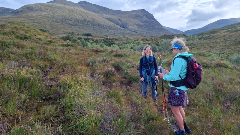
Eventually, the route curves away from the side of the steam. The ground here was covered in heather and large boggy sections, so route finding became trickier. We tried to stick to a narrow and drier path as much as we could but we inevitably came to boggier areas and needed to skirt around.
Our aim was the railway underpass, after which we picked up a more obvious path, crossing the river again on the wooden bridge before making a final ascent back up to road level and the lay-by.
We all agreed that it had been worth taking our chances with the weather. Aside from the cloudy and damp summit when we first arrived at the ridge, the rest of the walk was dry and with great views.
The kit I would recommend for this Munro and Corbett loop includes, hiking poles, waterproof hiking boots and gaiters if you are wearing trousers of leggings.
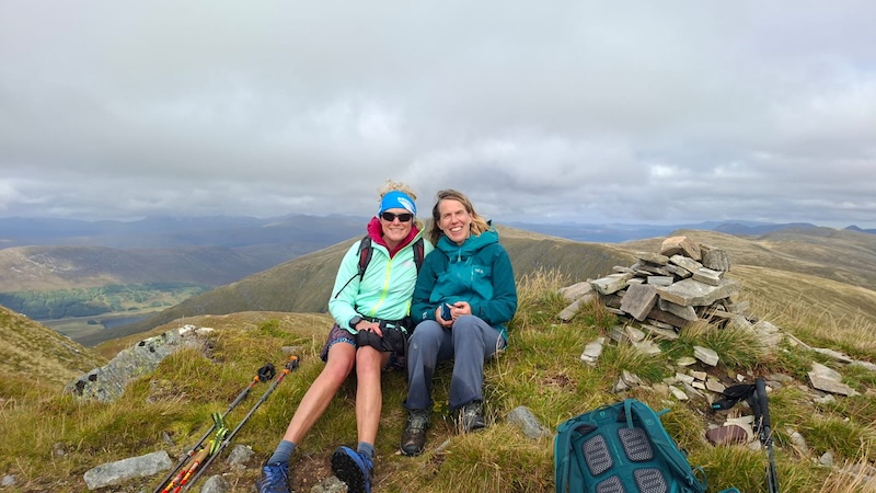
The details: Moruisg and Sgurr nan Ceannaichean
Distance: 13km
Total elevation: 1025m