
There are a number of different routes to reach the three Munros of Mam Sodhail, Beinn Fhionnlaidh and Càrn Eige in remote Glen Affric and on this occasion Hubby G and I chose to cycle from Chisholm Bridge car park along the northern shore of Loch Affric before hiking to reach the summits. We returned the same way.
It was our second time on these Munros and previously we walked the more traditional route as described by WalkHighlands.
These Munros are some of G’s final 20 summits in his second round of the 282 Scottish peaks with a height of at least 3000ft (914.4m).
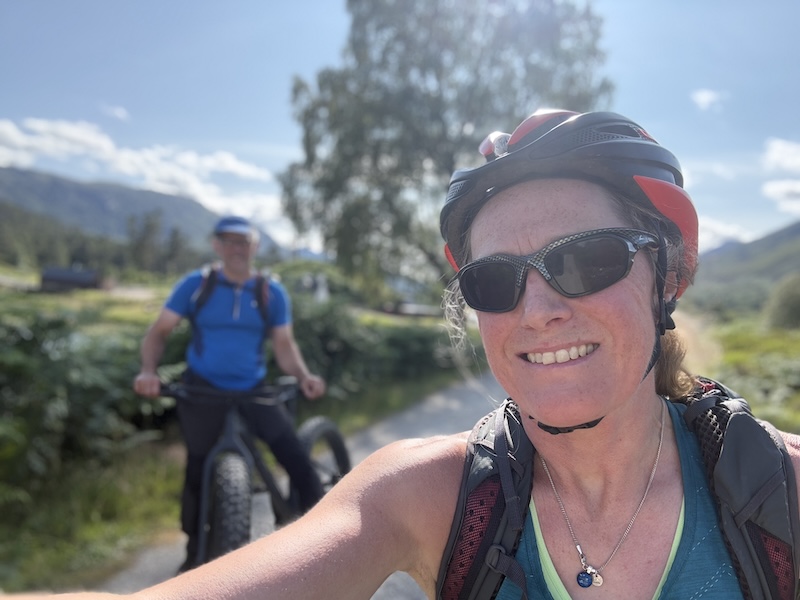
Bike ride to hike
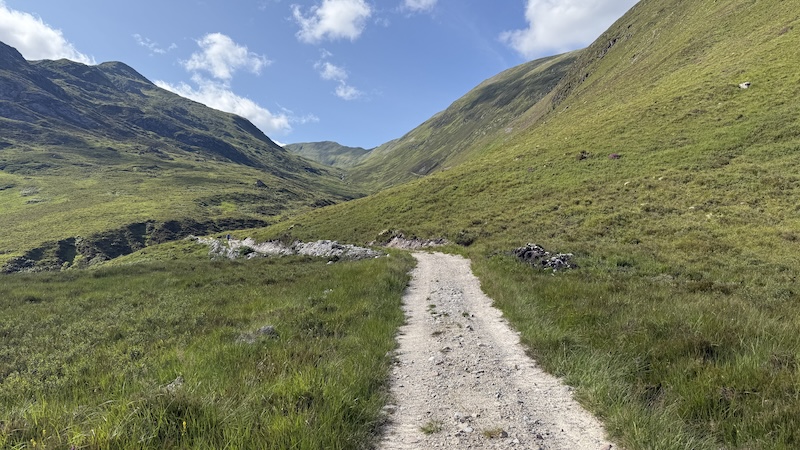
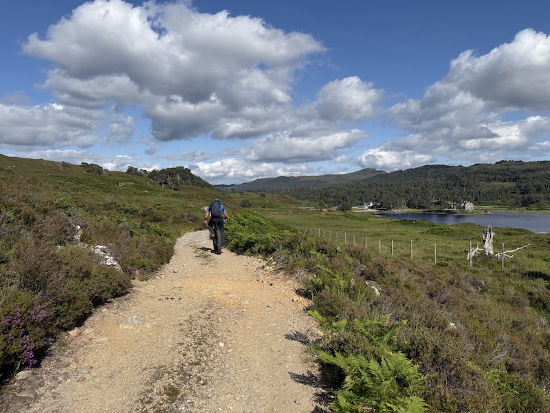
We chose to use mountain bikes for the ride although a gravel bike would be fine for more skilled riders. The route is a mix of wide landrover track, some singletrack and a rough, sandy trail. It was rarely technical and you will see from the stats below, there is not a great deal of elevation gain on the outwards cycling section, although the overall descent on the return ride was hugely welcomed.
The ride, west from the car park, was around 5.5km, which doubles to 11km overall and helps to reduce the remoteness of these Munros. We left our bikes by the side of the track, once it started to steepen significantly (at around NH148228).
Walk to Mam Sodhail
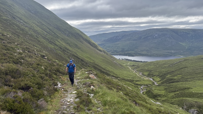
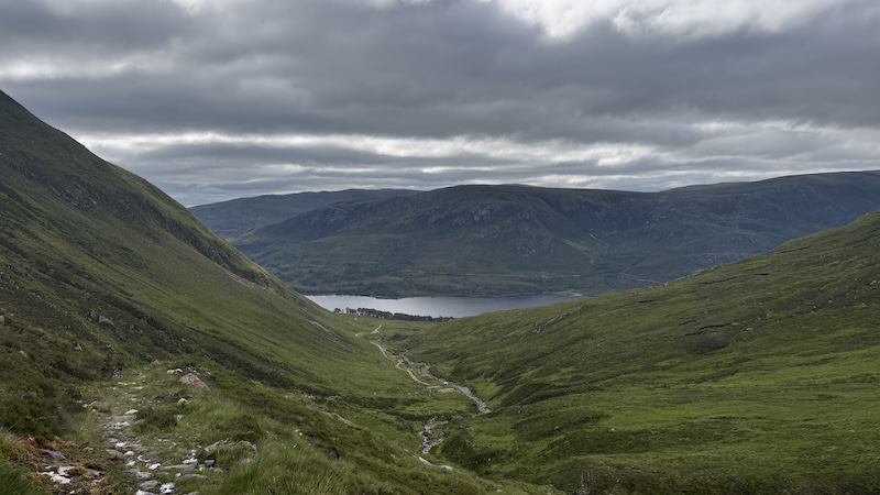
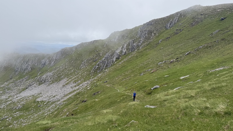
The first part of the hike uphill seems long but it is very beautiful. The weather was quite overcast with a light breeze and, thankfully, enough damp and wind to keep away the worst of the summer clegs and midges.
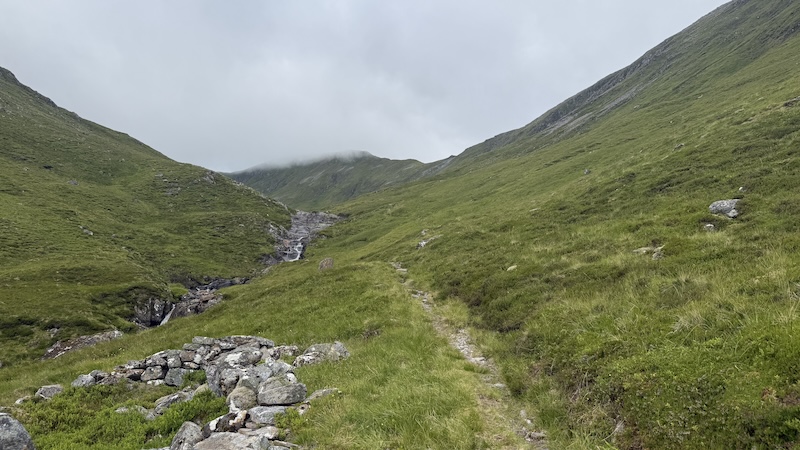
The clouds hung quite low over the Munro summits but I enjoyed the atmospheric views as we ascended on foot via Coire Leachavie and beside the tumbling waters of Allt Coire Leachavie. There are several beautiful waterfalls and clear water pools in the corrie.
The steep walls of the corrie higher up create a stunning grass-and-rock amphitheatre. There is a path to follow all the way, so route finding was not difficult.
Reaching the top of the corrie at about 1030m elevation, we turned north to gain Mam Sodhail at 1181m tall a short way further on. There is a large cairn shelter, although, strangely, there is no entrance opening other than to ascend the walls to get inside. Look for stones jutting out of the shelter wall on one side for easier access.
At this point, the cloud shrouded the Munro and we felt the cold and wet seeping into our clothes. We didn’t stop for long and while we were sad not to have a view, we knew we would be returning this way later in the day and we hoped the forecast for a brightening day would be correct.
Mam Sodhail to Beinn Fhionnlaidh
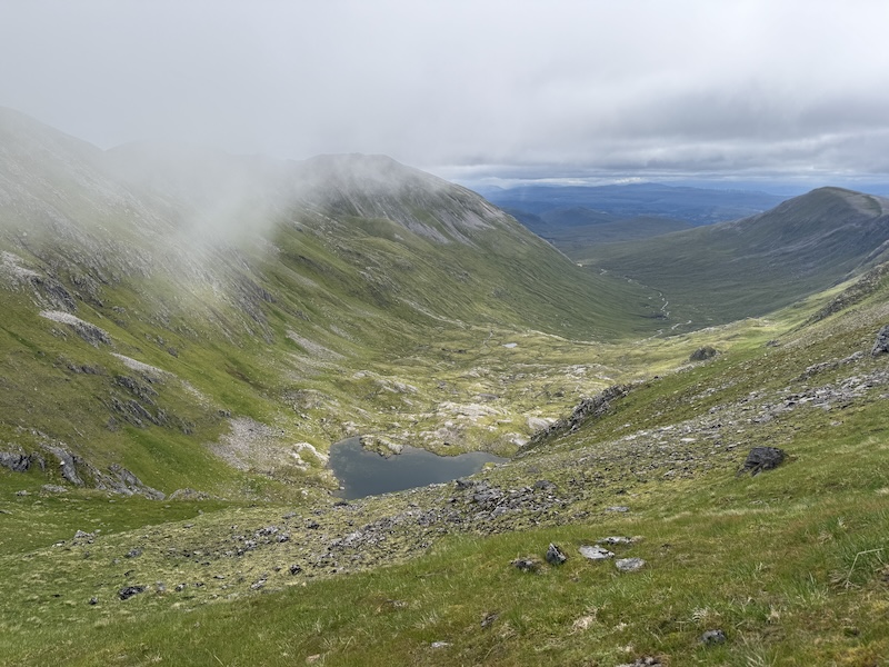
We had a choice: To walk to Càrn Eige or to bypass it and head straight to Beinn Fhionnlaidh first. We chose the bypass and decided to head over Càrn Eige later in the day.
The traverse of Càrn Eige was on the western flank, which turned out to be quite rocky. Contouring a steep mountain side is never easy and it was made trickier because we kept losing the various trods created by other walkers.
I was sure there was a stronger path further down the slope but we stayed relatively high and tried to aim for Bealach Beag, between Stob Coire Lochan and Beinn Fhionnlaidh.
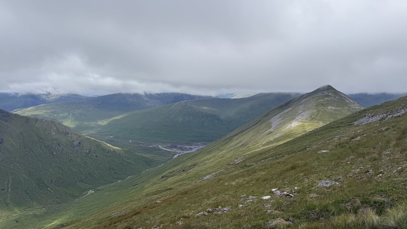
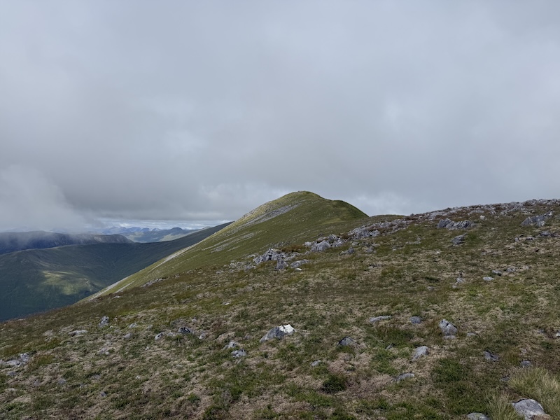
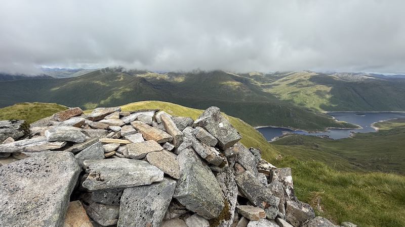
Once at the bealach, we left our rucksacks and followed a much more obvious path to gain Beinn Fhionnlaidh at 1005m, which is marked by a cairn. We passed another couple of walkers and stopped for a chat.
They had chosen the opposite route to us, first ascending Càrn Eige and then planning the bypass route for their return. I don’t think it makes much difference which way you tackle this. The alternative is to head over Càrn Eige twice.
Beinn Fhionnlaidh offered clearer views. Although cloud still lingered on some of the higher, distance summits in the surrouding area.
Heading back to the bealach was straightforward and we stopped by our packs – and the two other walkers – for a bite to eat.
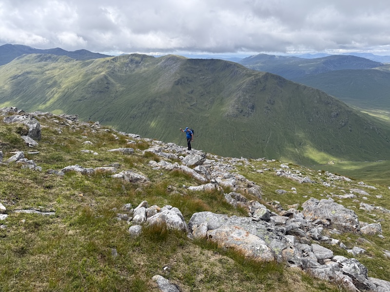
As the others headed off for the lower traverse, G and I climbed towards Càrn Eige. We had to make a bit of a steep detour on to the ridge – somehow we missed the main trod at the northern end – but once on the ridge, the route finding was easy.
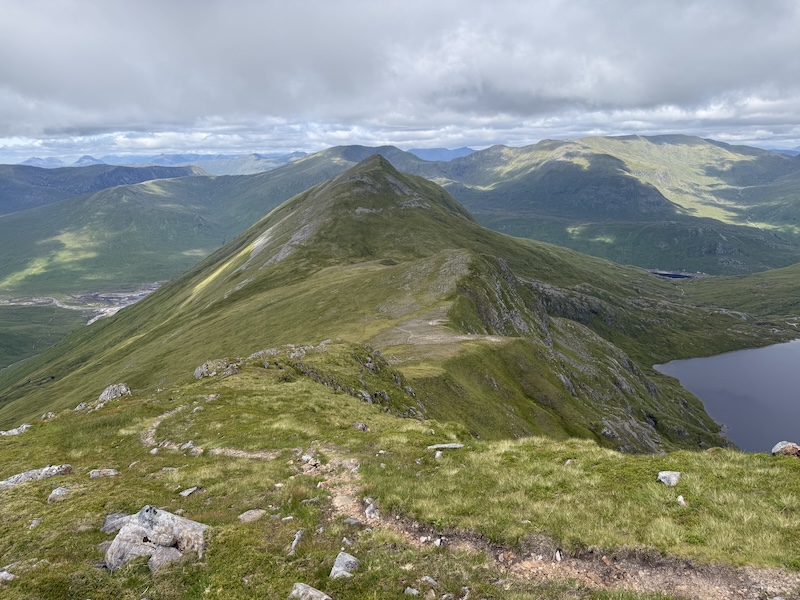
I enjoyed this part of the walk very much. The views grew more expansive thanks to improving weather and the corrie below us was impressive.
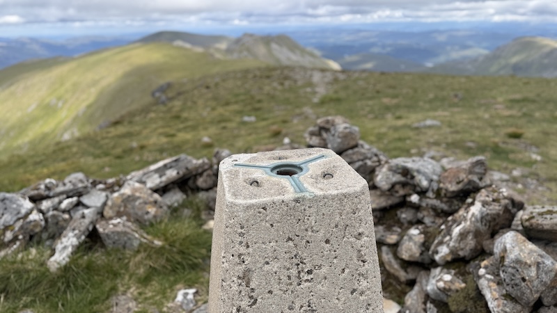
Càrn Eige rises to 1183m elevation and it topped by a trig and a (smaller) cairn shelter. As we enjoyed another snack, two men arrived from the east. They were completing a big day of Munros and Munro Tops and we exchanged summit bagging chat for a while.
I had previously bagged a few Munro Tops in the area but I realised there are plenty more to be reached in Glen Affric. If I had been aware of Munro Tops when walking my first Munro round, I am sure I would have included them in my Munro hikes. Now, as it stands, I will be returning to many Munros to reach some very remote Munro Tops.
Càrn Eige to Mam Sodhail
As G and I looked back across to Mam Sodhail, the first Munro of our day, I pointed to a couple of Munro Tops that I had not yet bagged. I think, if I had been on my own, I would have pushed on to include these in the return walk but G was tiring and we had a dinner date booked in Inverness for that evening.
I satisfied myself with the alternative idea that I would return sometime to bike and hike to reach these two Munro Tops.
You will have already worked out that this round of three Munros actually extends to four because you go over Mam Sodhail twice.
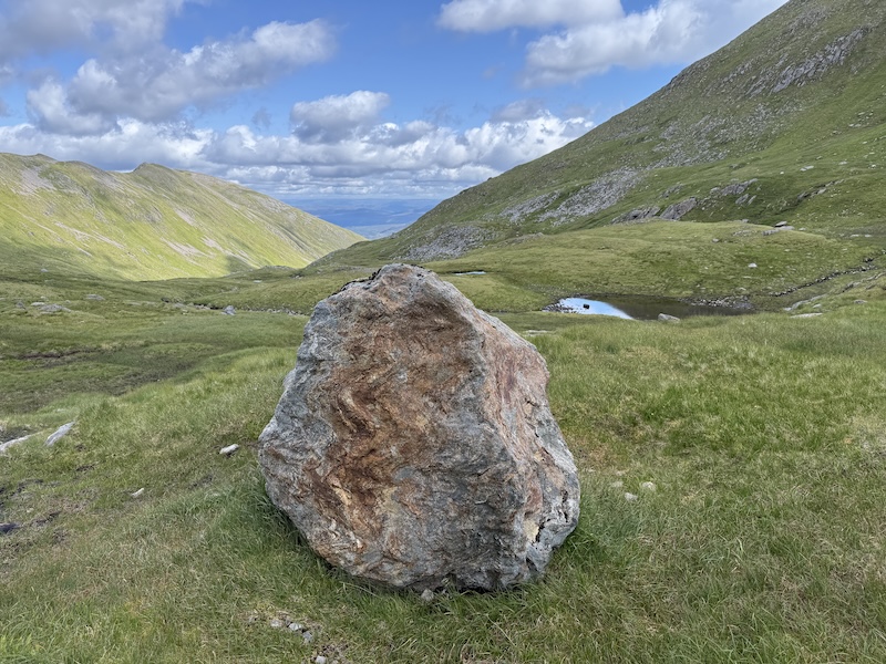
But once on this Munro again, the route was mostly downhill and the return through the corrie was very beautiful. The cloud had dispersed a little to reveal a bright blue sky and we could feel more warmth from the sunshine.
Return by bike
By the time to reached our bikes, both G and I were ready to swap walking for cycling. The total ascent for the hike is more than 1500m, which felt like quite a bit day.
It seemed to take hardly any time to ride back along the glen, then quickly pack the car with bikes and walking kit for the drive home.
A word of warning: The midges in the car park are often fierce. We didn’t allow them time to settle before and after the outing by being very efficient with our unpacking and packing.
Note: There is a charge to park the car – you can pay by card – and there are toilets.
Details: Mam Sodhail, Beinn Fhionnlaidh and Càrn Eige
Bike ride to and from
Distance: 5.6km each way
Ascent: 135m elevation on outward ride; 58m on the return
See: Strava
Walk section
Distance: 17.5km
Total ascent: 1535m