
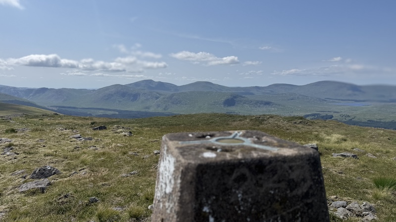
My walk report of a route to bag four Donalds and a Donald Top on the eastern edge of the Galloway Forest Park in Kirkcudbrightshire, Dumfries & Galloway.
This route takes in the northern part of the Rhinns of Kells ridge, which forms a wide ridge that doesn’t fall below 620m. The result is a fairly long walk of some 24km that undulates over many rounded summits and gives a relatively low total ascent of just over 1000m for the distance.
The Donalds are a classification of hills in southern Scotland that are loosely described as being 2500ft or more, with significant prominence, and below the Highland Fault Line. There are aslo Donald Tops, which are the same height but with less promience.
Start at Bridgend to Coran of Portmark
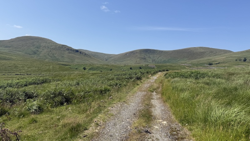
It was already warm and sunny when I set off at the start of the walk from Bridgend, near Carsphairn. I’d found a small area tucked off the road just south of Bridgend (on the right hand side travelling south) where I parked my van. The first part of the route was along the A713, north, to reach a track, heading south west. There is a signpost for Holm of Daltallochan.
I was grateful for a breeze lower down, which kept away the worst of the clegs, and I enjoyed the obvious route of a wide track that passed by several homes, including Garryhorn (marked on the map) and led towards a disused mine. The sides of the track were vibrant with summer wildflowers and overhead I spotted a buzzard.
In the 18th century, Garryhorn was the local headquarters of Grierson of Lag, whose dragoons hunted and killed many covenanters of the time. Covenanters where a Scottish religious and political movement that came together to defend the Presbyterian Church of Scotland against the attempts of the Stuart kings to impose royal control and Anglican practices.
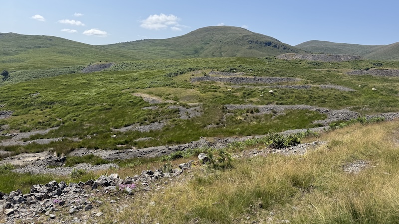
The abandoned Woodhead Lead Mines are large. At the hight of the mining, between 1839 and 1873, the area had a population of 300 people and its own school. Now there are only ruined buildings and some old shafts.

While I’d been on an obvious track at the start of the walk and then a rougher, narrower track, once amid the mine workings, the route became a bit confusing. I remember reading that I should head for a tree near the highest ruined building and when I could see a track fading to the south, I should look in the opposite direction for a clearer track going north. You can see how I walked around a bit on my mapped route.
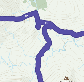
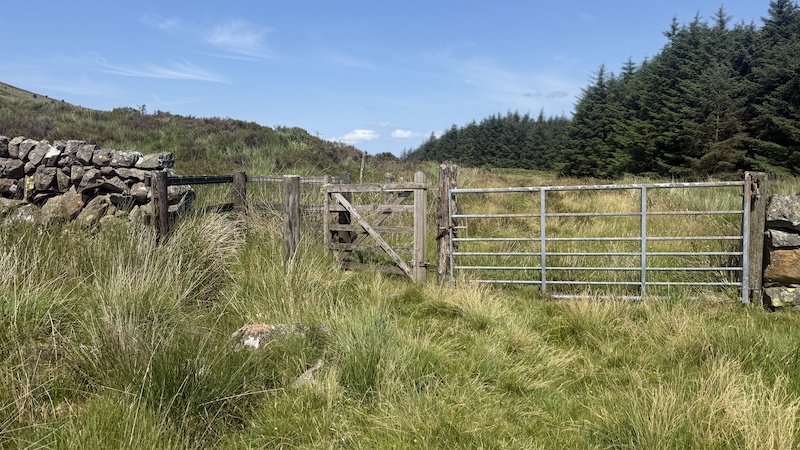
Once on the northerly track, I headed towards a clump of trees in the near distance, passing through a gate and then I turned left on a rough ATV track. This route climbs the southern flank of the hill Knockower and eventually on to Coran of Postmark.
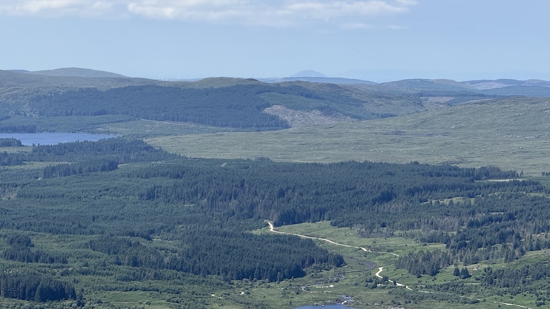
I was able to follow a path and a trod for most of this and so route finding became much easier. At the top, you need to leave the path for a short while to gain the summit of the Donald at 623m. The views are superb.

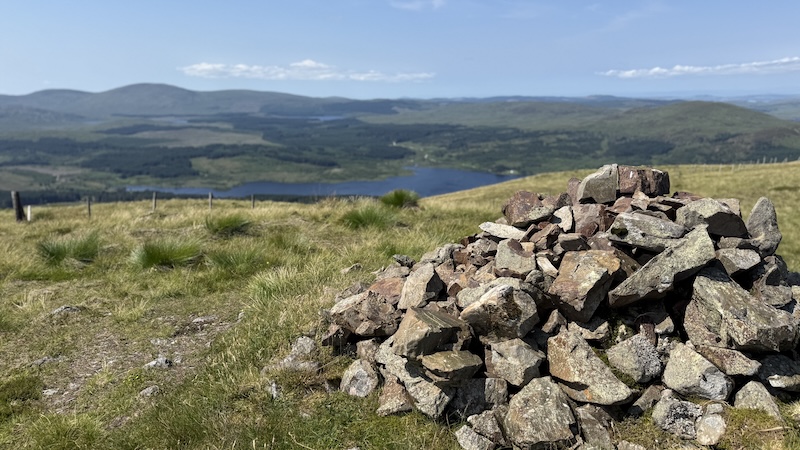
Coran of Portmark to Bow & Meaul
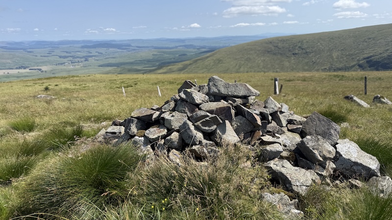
I walked back the way I’d come and refound the path, which then travels south and along the same route as a fence. It wasn’t long before I came to a cairn marking the summit of the Donald Top, Bow, at 613m.
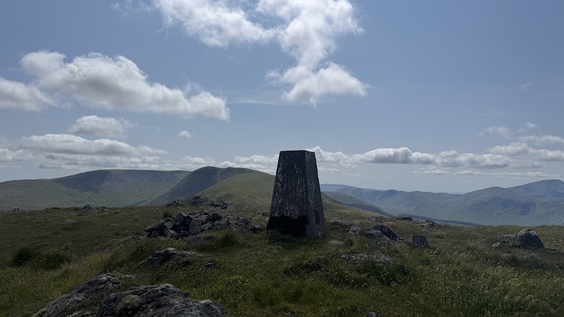
The fence continues to be a great guide, winding its way south-west and then west, down to a bealach and then up again to the Donald Meaul. There is a trig pillar on Meaul marking an elevation of 695m.
Look out for a single upright stone on the northern side of Meaul overlooking Loch Doon. A plaque marks the place where Covenanter John Dempster was believed to have been short in 1685, after being chased by Lag’s dragoons.
Meaul to Carlin’s Cairn
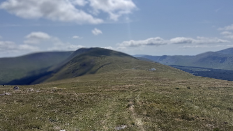
The route to Carlin’s Cairn is an out-and-back along a long, wide ridge. I could see it in the distance for what seemed like ages but the walking is easy despite there being a number of ups and downs. A path can easily be seen in short grass. I really enjoyed this section because the weather was warm and the views were lovely.
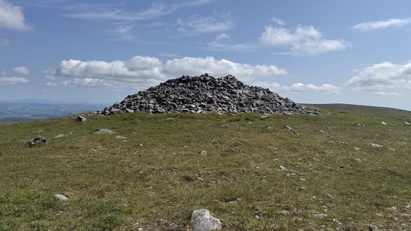
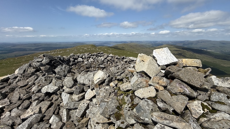
There is a huge cairn and shelter on Carlin’s Cairn, where I sat to eat some food. The summit is 807m and the tallest of this route.
According to a report I read, the cairn is from prehistoric times but legend attributes it to Carlin, a Miller’s wife, who aided Robert the Bruce while he was a fugitive in the area.
After a sit down, I simply returned the way I’d come to gain the summit of Meaul again.
Meaul to Cairnsgarroch
From Meaul, the route heads east and a convenient wall provides the perfect handrail. At times there is a wall and a fence and you can choose to walk either side or in between. There are trod lines all over the place but there is no mistaking the right direction (in good weather) with a descent and then another ascent.
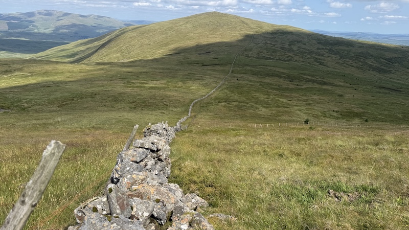
A small cairn sits on Cairnsgarroch at 659m elevation. I didn’t stop for long, before heading off the summit on a north-easterly direction and, finally, away from the line of the wall. I wanted to be sure to avoid steep terrain to the west and mostly kept to a trod for the upper section of the hill descent.
I had previously read about the “rough and tiring” slope down from Cairnsgarroch and back to the lead mine workings. But, to start with, I felt smug that I had found a trod. I started to really enjoy the descent and I kept thinking that maybe the information in the SMC guidebook – I do not own the most up-to-date book – was inaccurate.
I could see the lead mines not too far in the distance and the grassy slope and meadows looked perfectly fine for walkers.
However, as soon as I came to a rockier section, the trod disappeared and I found myself in some of the worst hiking terrain I’ve ever encountered; it might even be the worst.
I am used to tussocks, thick vegetation and bog because I often walk in remote, less frequented places but the ground was like nothing I’d ever encountered. The grass was tall and reedy and the tussocks were thin and unstable. One step on to a stalk-like tussock resulted in me falling to the side, or my foot slipping off into a hole.
I tried walking on other vegetation but this was a turmoil of water-logged holes, dips and collapsible ground. I had to wade through, taking giant steps or else tiny steps, or else falling over and having to climb up again.
Each time I thought I’d reached more solid ground, it once again became a riot of discomfort and annoyance.
I found myself cursing to myself and questioning how I would keep going. Of course, I had to keep moving forwards and after around half an hour of the torture, I finally made it on to a slightly more solid ground.
Reaching a sort-of track, closer to the mines but not really in the right direction, I chose this instead of continuing in a straight line. I walked a little out of my way and to the west of the old mines, to then regain the original – and solid – track. It was a huge relief!
I messaged my Donald bagging friend Ben as I walked the easy-going track back to the road, and then my van, and told him about the terrain from hell. He said that he had referred back to his notes on walking the same route and he had written: “A beautiful walk marred only by the tussocky grass. New worst walking surface.” I wonder if there is an alternative way to close the circuit on this route or if it might be better to return to Meaul and return on the ascent route. It would be much longer but far easier underfoot.
Route details: Coran of Portmark, Bow, Meaul, Carlin’s Cairn & Cairnsgarroch
Distance: 23k
Total ascent: 1050m
You can also read about my other recent Donald bagging walk: Alhang, Alwhat, Meikledodd Hill, Blacklorg Hill & Blackcraig Hill.