
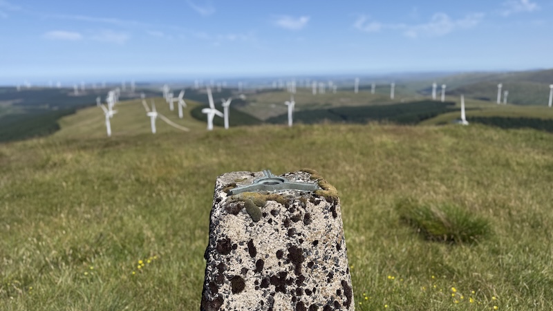
A third day of Donald bagging in southern Scotland took me on a loop to reach the Donald, Windy Standard, and a couple of Donald Tops, Dugland and Keoch Rig. This walk was a bit of a “mopping up” of Donalds route. I also spent most of the day walking between and around numerous huge wind turbines.
Afton Reservoir to Windy Standard
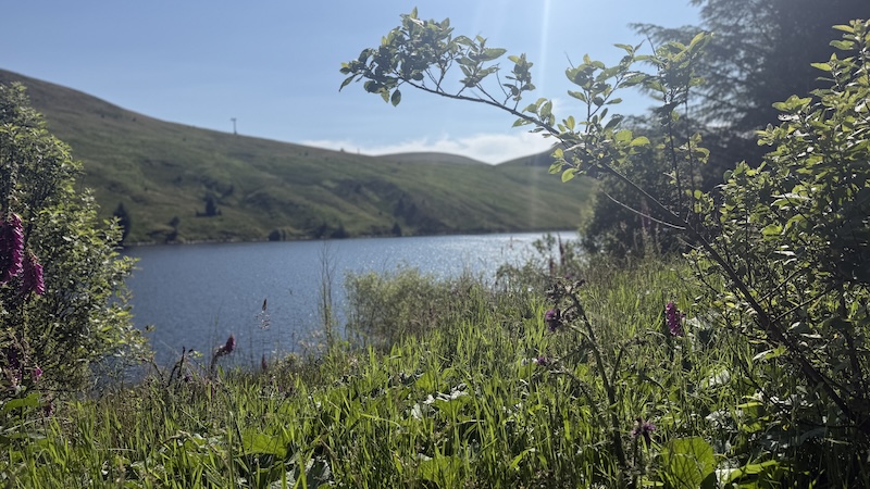
I started at Afton Reservoir, near Cumnock, where two days previously I’d walked another Donald bagging route to reach summits including Alhang, Alwhat, Meikledodd Hill, Blacklorg Hill & Blackcraig Hill.
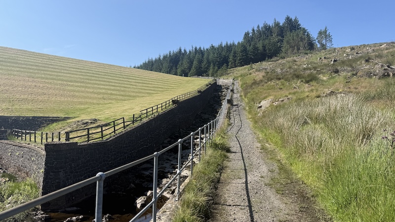
Instead of turning right after a (second) metal gate and tramping up a steep and rough section of hillside before the reservoir dam, I continued towards the dam and walked up a man-made path to the right of the dam wall. The route then zigzagged through cool forestry to reach the same higher-level track from the previous route. This was a slightly longer way to start the walk but it meant my feet stayed dry.
Once on the track, I turned left and walked the same way as I’d done to reach Alhang. Once on the lesser summit of Wedder Hill, I headed south downhill, still on a wind farm track, before peeling off south-west on to a trod that progressed fairly gently uphill on a rough, grassy hillside. There was a fence to handrail and I quickly reached my next target of Millaneoch Hill at 607m elevation.
The fence continued, in a more SSW direction, where I joined another section of windfarm truck before turning north-west to ascend Windy Standard, again on rougher ground.
The day’s walk was mostly spent on wind farm tracks but with some shorter sections of rougher terrrain.
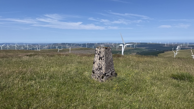
A trig marks the highest point on Windy Standard at 698m height.
Windy Standard to Dugland
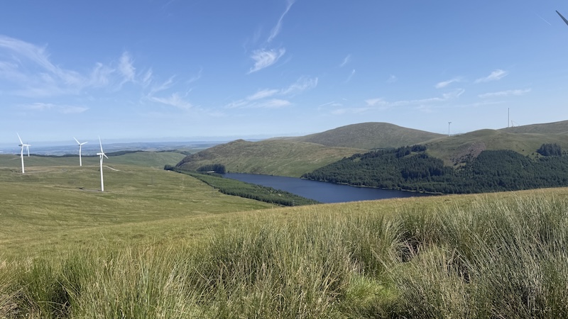
I descended Windy Standard to the west and then stopped to look out further west and south where I could see the chalky coloured wind farm track contouring around numerous hills.
Although these are not tall hills, the snaking track reminded me of the landscape in the Alps, where wide tracks give easy access to mountain routes and paths.
While it would have been possible to take more direct routes on rough hillsides, I decided it was much easier to walk on the windfarm tracks.
In this way, I skirted the southern flank of Trostan Hill and then kept south of Polwhat Rig before reaching the lower slopes of Dugland. A short stroll up over rough vegetation took me to a small cairn atop Dugland at 612m.
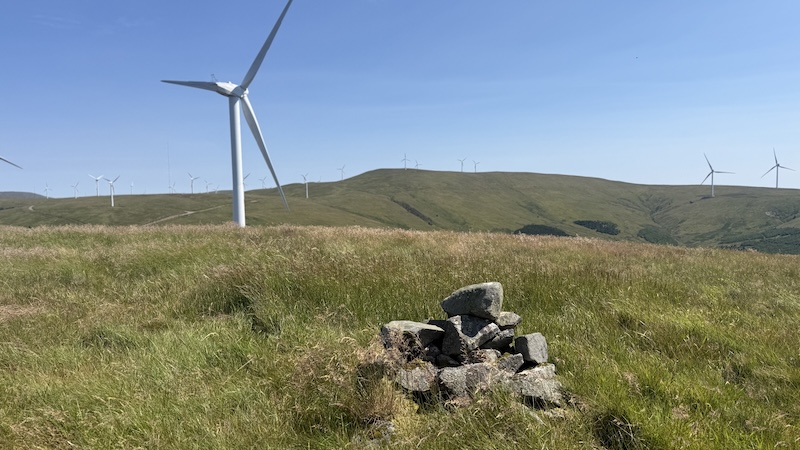
I stopped for a short sit down and a bite to eat. The weather was warm but there was a cooling breeze and I enjoyed being alone on a fairly random hill amid a vast wind farm. As a note of interest, Dugland was reinstated as a Donald Top on February 18, 2021, after Ordnance Survey mapping measured its height at 612m – exceeding the 610m / 2000ft threshold – having previously been removed from the list in 1997.
Dugland to Keoch Rig
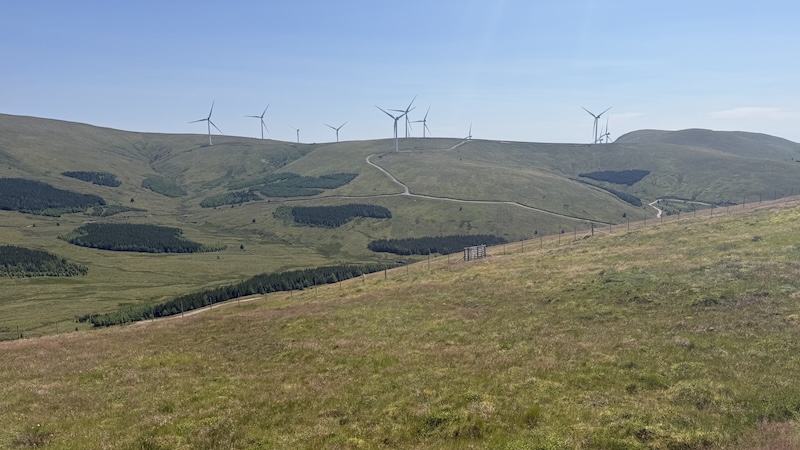
From Dugland, I looked down and east to where I spotted more chalky track winding around various hills to reach another higher summit of Keoch Rig.
First, though, I need to descend a steeper grassy slope to gain the track. I spotted a wooden waymarker as I descended and then another at the track edge. I’m not sure what these posts are for, or how long they have existed but I presume they arrived bfore the windfarm.
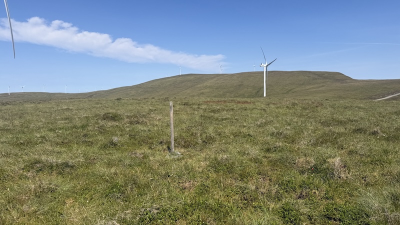
Once on the track, I progressed uphill, simply following the easy-going terrain as it wound around the hills, undulating here and there. The top of Keoch Rig required a short off-trod ascent on a flat, rounded hill and I wandered about a bit to make sure I’d reached the top at 611m. I spotted a wooden post although I am not convinced this marked the highest point.
Keoch Rig to the finish
I regained the wide track and followed it for less than a kilometre and then, at one of the wind turbines, I turned north on to open hillside again. I kept to the left of a deer fence – I didn’t see this fence marked on the OS map – and mostly stuck to a trod and the double lines of a rough ATV that headed uphill.
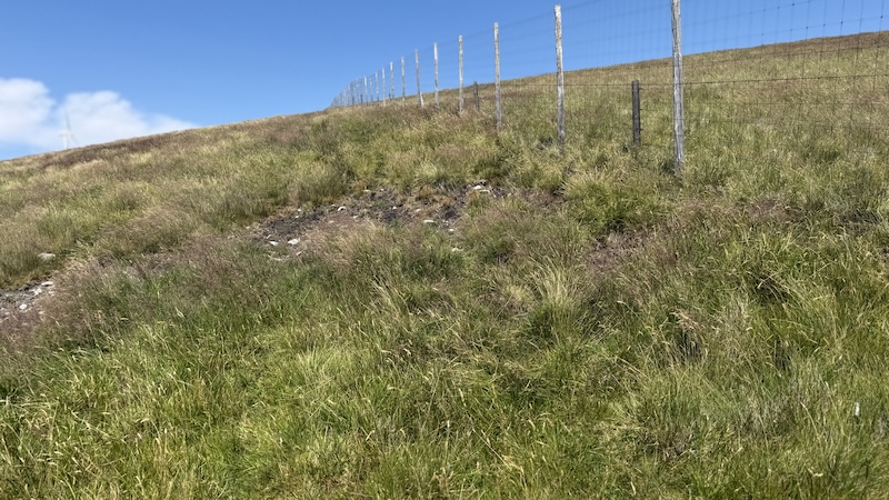
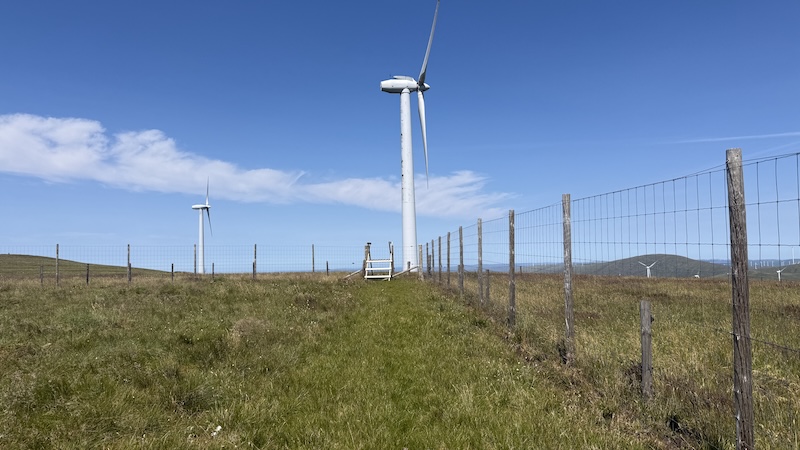
My aim was to rejoin my outward route just below and to the south-east of Windy Standard. From here, I was grateful to see a stile in the fence and then continued to follow the fence north-east and back to the wide track below Millaneoch Hill.
The final section was the same as the outward route and entirely on a wide track.
Route details: Windy Standard, Dugland and Keoch Rig
Distance: 21km
Total elevation: 700m
Also read: Donald bagging: Coran of Portmark, Bow, Meaul, Carlin’s Cairn & Cairnsgarroch